River Kent
A short, fast Cumbrian river falling from the Kentmere fells through Staveley and Kendal to Morecambe Bay
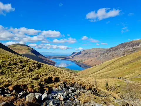
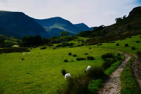
The Kent has a reputation as one of the fastest-falling rivers in England: it drops from around 600 metres in the Kentmere fells to sea level in roughly twenty miles, and it shows. The upper river is a series of rocky steps and pools coming off the fells past Kentmere; through Staveley and Kendal it runs in a proper limestone gorge in places, and then it slows into the sands of Morecambe Bay.
That speed has consequences. Kendal floods, badly and repeatedly, and the river through the town is now lined with new defences built after Storm Desmond in 2015. It is also a good river for white-clawed crayfish and for freshwater pearl mussel, and the gorge sections carry their own protection.
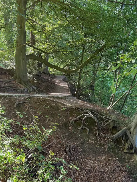
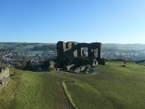
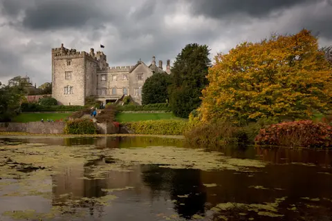
For walking, the Dales Way follows the river down from Burneside into Kendal, and the riverside path through the town is an easy stretch past the Kendal Castle mound. Sizergh is close to the lower river. Oxenholme and Kendal stations are both within walking distance of the water.