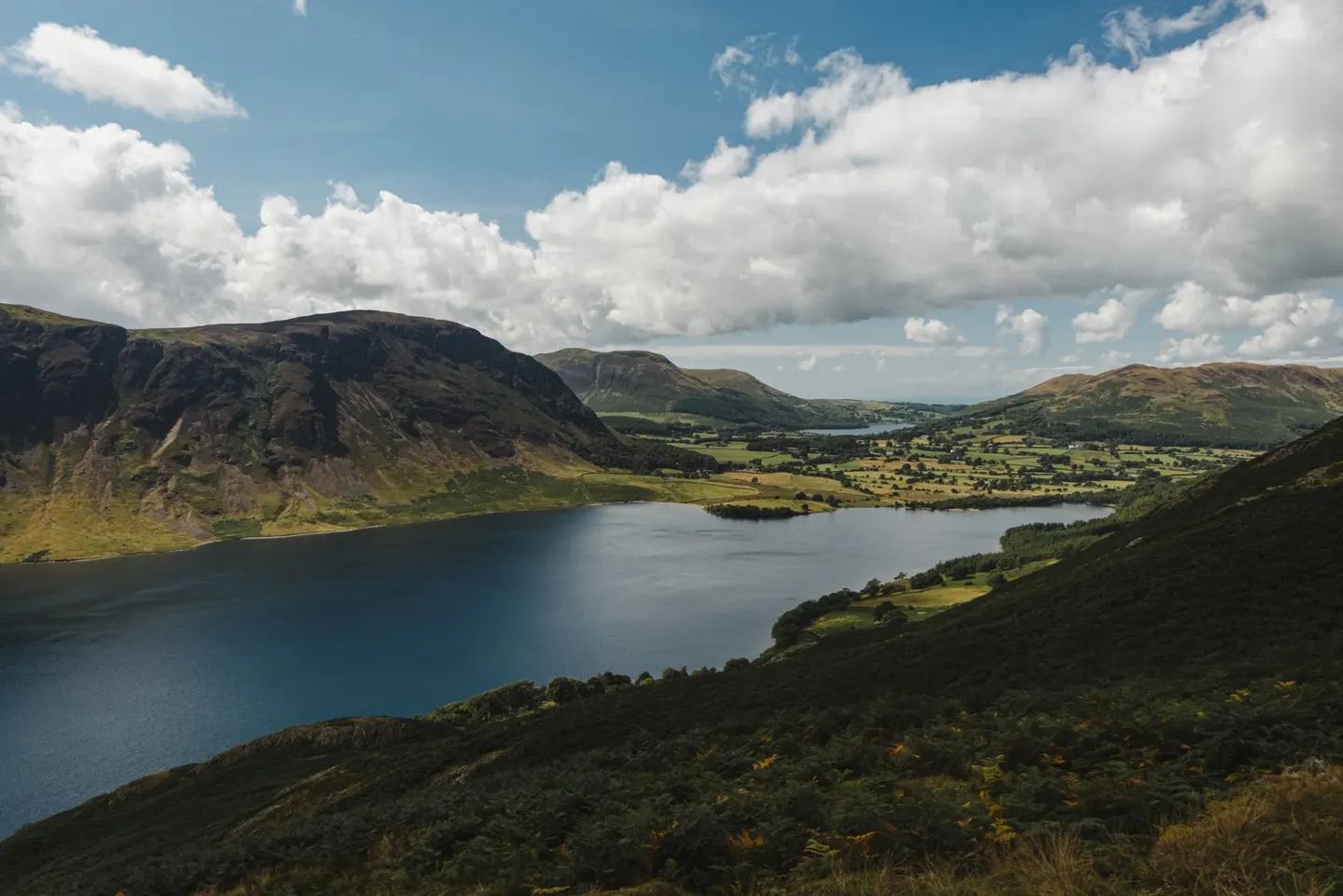
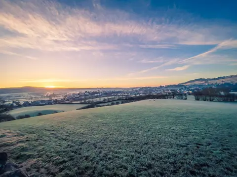
Lake DistrictPhoto Olga Lioncat / Pexels
Places to explore near Burneside (Cumbria) StationBurneside
73 places within 10 km — the standouts first, nearest first within each group. 1 is a national icon.
Worth the tripnational icons and local highlights within reach
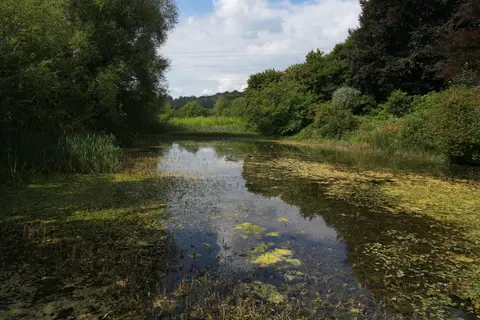
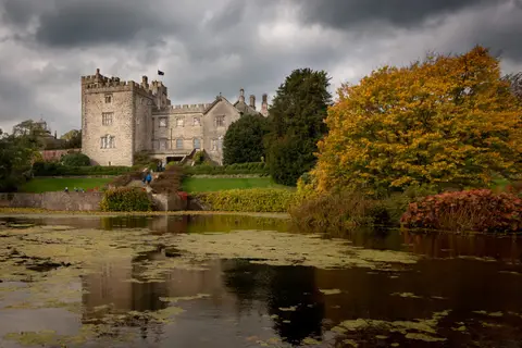
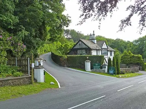

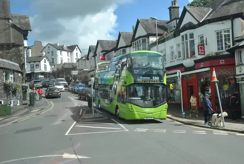
Also nearbygood places nearby, nearest first
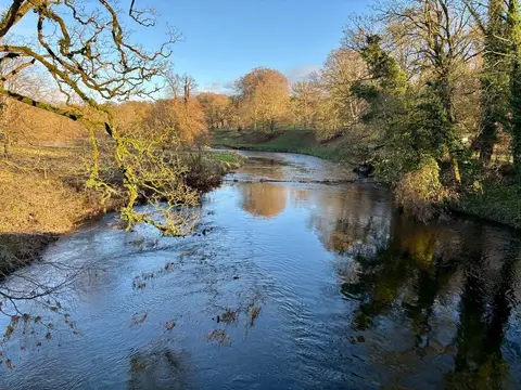
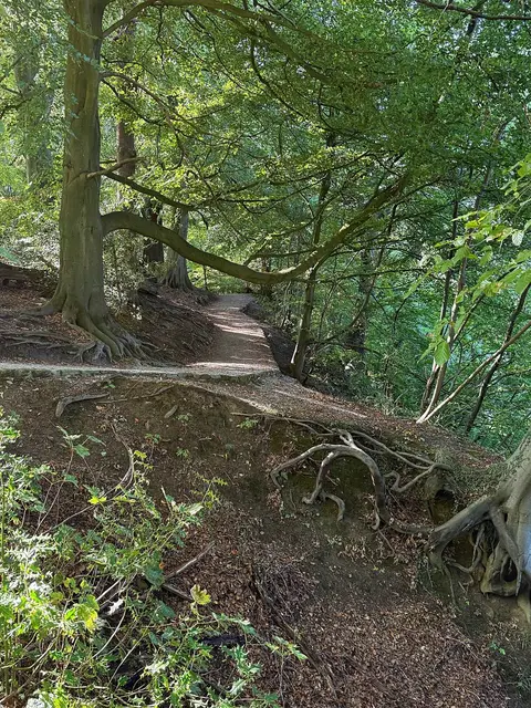
Everything else within 10 km (58) — reserves, earthworks & places to check before travelling
- StaveleyVillage4 km NW
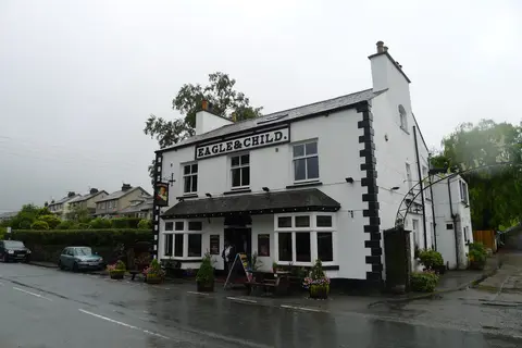
- The Punch Bowl InnPub7.3 km SW
- The Lyth Valley Damson CompanyFarm & farm shop7.3 km SW
- CrosthwaiteVillage7.3 km SW
- Low Sizergh Barn Farm ShopFarm & farm shop8.1 km S
- WindermereCountry estate8.4 km NW
- Swinklebank CragWainwright fell9.1 km N
- Orrest HeadWainwright fell9.5 km W
- Burneside HallTower houseaccess unclear0.7 km E
- Scout and Cunswick ScarsSSSI1.7 km SW
- Cunswick ScarWainwright fellaccess unclear1.8 km SW
- Skelsmergh TarnSSSIaccess unclear3.1 km E
- Ye Olde Fleece InnPub3.3 km S
- Fell BarPub3.4 km S
- Castle Howe, KendalCastleaccess unclear3.5 km S
- The Factory TapPub3.6 km SE
- UlgravesWainwright fell3.9 km N
- Kendal CastleCastleaccess unclear3.9 km SE
- Jenny DamSSSIaccess unclear4 km W
- Scout Scar (Wainwright summit)Wainwright fell4.1 km S
- Unnamed top on Potter Fell (1)Wainwright fell4.3 km N
- Unnamed top on Potter Fell (2)Wainwright fell4.6 km N
- St Anne's Church, IngsChurch5.1 km NW
- Brunt KnottWainwright fell5.2 km N
- Reston ScarWainwright fell5.2 km NW
- Watercrook Roman fortRoman archaeological siteaccess unclear5.2 km S
- Hugill Fell (Wainwright summit)Wainwright fell5.4 km NW
- Beech Hill WoodSSSI5.4 km N
- Whiteside PikeWainwright fell6 km N
- Longsleddale WoodsSSSI6 km N
- The Watermill Inn & BreweryPub6.3 km NW
- Todd FellWainwright fell6.4 km N
- High KnottWainwright fellaccess unclear6.5 km NW
- Lamb PastureWainwright fell7.1 km NE
- GrandsireWainwright fell7.2 km W
- High Lickbarrow Mires and PasturesSSSI7.2 km W
- Unnamed top near School KnottWainwright fellaccess unclear7.5 km W
- Knipe TarnSSSI7.5 km W
- Castlesteads hillfortHillfort7.6 km S
- CapplebarrowWainwright fell7.8 km N
- School KnottWainwright fell7.9 km W
- Winster WetlandsSSSI7.9 km W
- The ForestWainwright fell8.2 km N
- Lambrigg FellMarilynaccess unclear8.5 km E
- White Howe (Bannisdale)Wainwright fell8.7 km N
- The Brown Horse InnPub8.7 km W
- WinsterVillage8.7 km W
- Hollow MoorWainwright fell8.9 km NW
- Unnamed top near Green QuarterWainwright fell9 km N
- WhitbarrowNational Nature Reserve9.1 km SW
- Borrow Beck MeadowsSSSI9.2 km NE
- Brant FellWainwright fellaccess unclear9.3 km W
- Ludderburn and Candlestick MiresSSSI9.3 km W
- KentmereVillage9.5 km NW
- Bannisdale Fell - Long CragWainwright fell9.6 km N
- Stile EndSSSI9.6 km N
- Browgill & Stockdale BecksSSSI9.7 km N
- High House BankWainwright fell9.9 km NE
Ordered by how far each place is worth travelling for, then by distance. Distances are straight-line to the nearest edge of each place — paths wind, of course.