Forty-one lock-free miles from Preston through Lancaster to Tewitfield, carried over the Lune on Rennie's great aqueduct
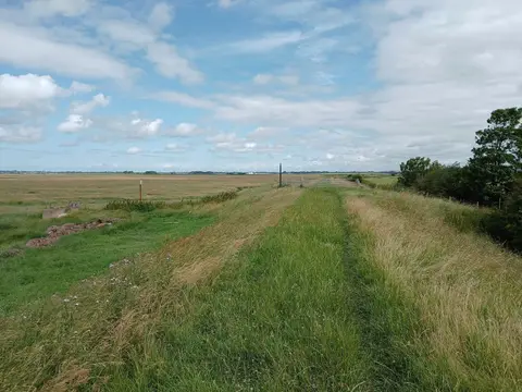
The Lancaster Canal is best known for what it lacks: locks. Its main line runs about 41 miles from Preston north through Lancaster to Tewitfield without a single lock, one of the longest lock-free stretches in the country. That makes it a calm, level waterway to walk, cycle or cruise, keeping to the coastal plain between the Bowland fells and the sea and holding one height nearly the whole way.
It was engineered by John Rennie and opened in stages from 1797, built to carry coal north and limestone south between the Lancashire towns and Kendal. Its single great structure is the Lune Aqueduct just north of Lancaster, which carries the canal some 60 feet above the River Lune on five stone arches, among the finest aqueducts on the whole network.
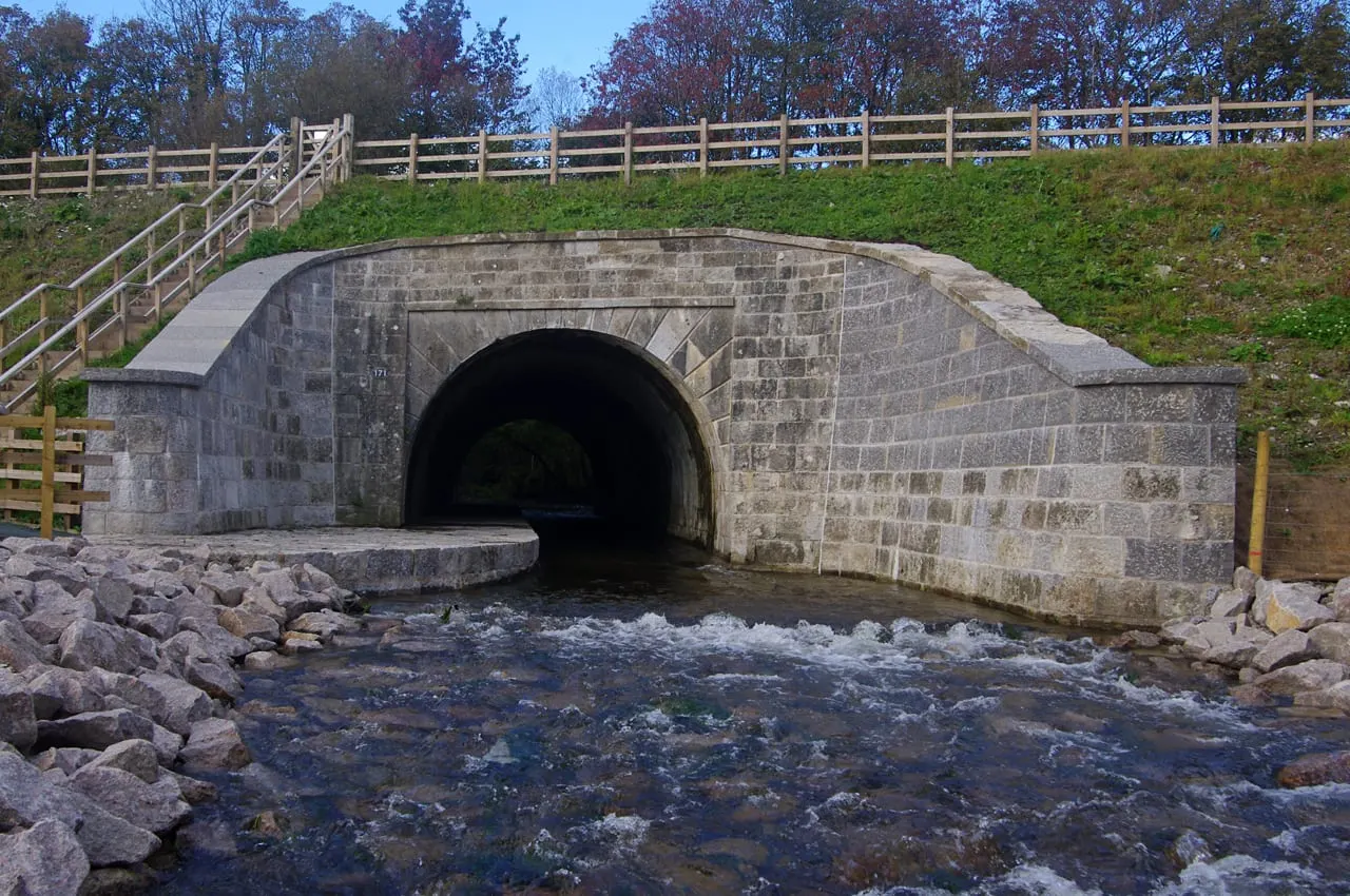
The canal was meant to run on to Kendal, and did, but the northern reaches beyond Tewitfield were cut off and drained when the M6 was driven through in the 1960s. The eight Tewitfield locks, the only ones on the line, were severed at the same time, which is why through boats now stop there. Restoring the link to Cumbria is a long-running ambition.
For years the canal was isolated from the rest of the system until the Ribble Link opened in 2002, giving boats a way down to the tidal Ribble at Preston and out to the wider network. The towpath runs the full length through Garstang, Galgate, Lancaster and Carnforth, quiet and easy, with the Lancashire fells in view to the east.