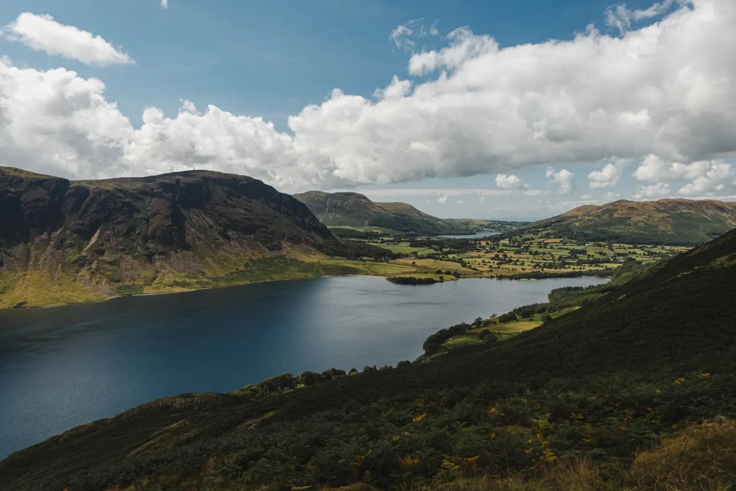
Lake DistrictPhoto Olga Lioncat / Pexels
Places to explore near Lancaster
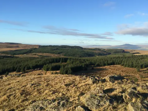
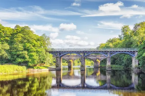
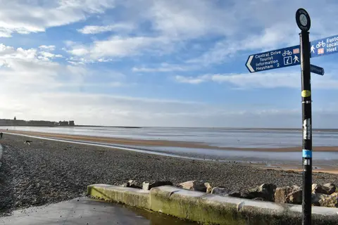
A Georgian town of grey stone above the River Lune, Lancaster is crowned by a castle and priory on the hill and grew rich, uneasily, on the eighteenth-century slave trade. The tide-washed sands of Morecambe Bay open to the west, with the marooned quay of Sunderland Point at the river's mouth. The heather fells of the Forest of Bowland rise east beyond the wooded loop of the Crook o' Lune, while north the limestone of Arnside & Silverdale shelters the reedbeds of Leighton Moss.
96 places within 25 km — the standouts first, nearest first within each group. 5 are national icons.
Worth the tripnational icons and local highlights within reach
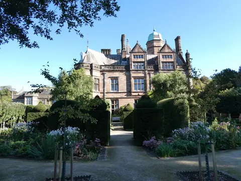
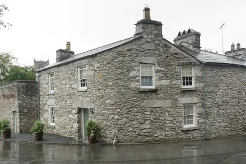
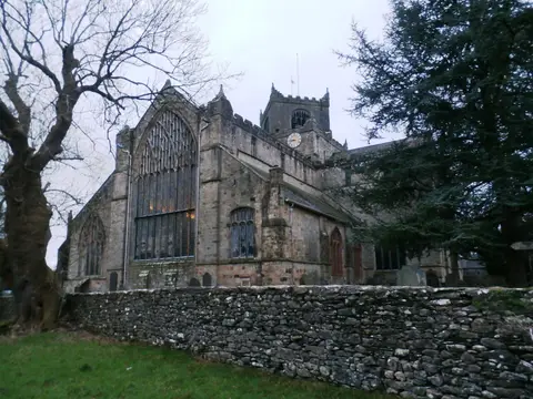
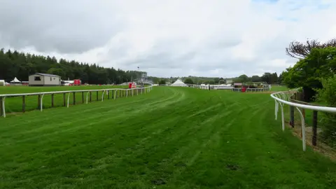
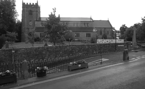
Also nearbygood places nearby, nearest first
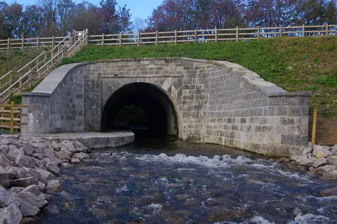

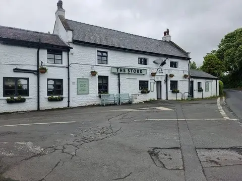
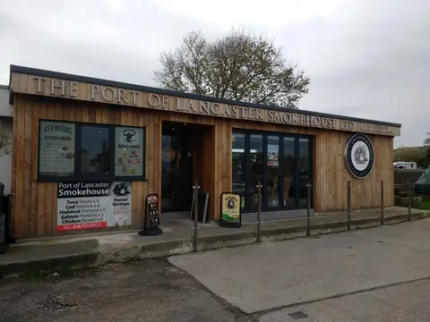
Everything else within 25 km (55) — reserves, earthworks & places to check before travelling
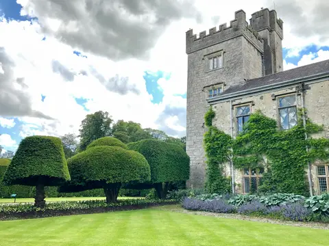
- Leighton Hall GardensGarden9.3 km N
- The Fenwick ArmsPub10.4 km NE
- Warton Old RectoryHouse11.1 km N
- Greenlands Farm VillageFarm & farm shop13.1 km N
- HornbyVillage13.1 km NE
- The Silverdale HotelPub13.5 km N
- WrayVillage14 km NE
- River KentRiver15.9 km NW
- Dewlay CheesemakersFarm & farm shop16.3 km S
- GarstangVillage16.3 km S
- Lune EstuarySSSI2.1 km SW
- Castle Hill motte, HaltonCastleaccess unclear4 km NE
- Morecambe BaySSSI4.4 km NW
- Bowland FellsSSSI5.1 km E
- Morecambe NorthSwimming spot5.2 km NW
- Heysham MossSSSIaccess unclear5.2 km W
- Morecambe SouthSwimming spot5.7 km NW
- Calf Hill and Cragg WoodsSSSI6.1 km E
- Artle DaleSSSIaccess unclear6.2 km E
- CatonVillage7.2 km NE
- Burton WoodSSSIaccess unclear7.6 km NE
- Thwaite House MossSSSIaccess unclear7.6 km N
- Crag BankSSSIaccess unclear8.1 km N
- Castle Hill motte (Lancashire)Castleaccess unclear9 km SE
- Cockersand Premonstratensian AbbeyAbbeyaccess unclear9.2 km SW
- Cockerham MarshSSSIaccess unclear10 km S
- Warton CragSSSIaccess unclear10.9 km N
- AbbeysteadVillage11.2 km SE
- Warton Crag hillfortHillfortaccess unclear11.4 km N
- Ward's StoneMarilyn11.8 km E
- Tarnbrook MeadowsSSSIaccess unclear11.9 km SE
- Jack ScoutSSSI12 km N
- Winmarleigh MossSSSIaccess unclear12.9 km S
- Cringlebarrow and DeepdaleSSSIaccess unclear13.1 km N
- Castle Stede motteCastleaccess unclear13.4 km NE
- Roeburndale WoodsSSSI13.4 km E
- Silverdale Golf CourseSSSIaccess unclear13.9 km N
- Trowbarrow QuarrySSSIaccess unclear14 km N
- Hawes WaterSSSI14.2 km N
- Eaves WoodSSSI14.4 km N
- Thrang End and Yealand Hall AllotmentSSSIaccess unclear14.4 km N
- Gait BarrowsNational Nature Reserve14.5 km N
- Far ArnsideSSSIaccess unclear14.7 km N
- MiddlebarrowSSSIaccess unclear14.7 km N
- Humphrey HeadWainwright fellaccess unclear15.1 km NW
- Chapel Hill MotteEarthworks of a former castleaccess unclear15.2 km NE
- Clear Beck MeadowSSSIaccess unclear15.2 km NE
- Thrang WoodSSSI15.4 km N
- Castle Mound motteEarthworks of a former castleaccess unclear15.5 km NE
- Hale Moss CavesSSSIaccess unclear15.6 km N
- Arnside KnottMarilyn16.1 km N
- Hale MossSSSIaccess unclear16.4 km N
- Marble Quarry and Hale FellSSSIaccess unclear16.5 km N
- Greenhalgh CastleCastleaccess unclear16.6 km S
- Coldwell Farm PastureSSSIaccess unclear16.6 km N
Ordered by how far each place is worth travelling for, then by distance. Distances are straight-line to the nearest edge of each place — paths wind, of course.