Open accesson open access land, where the right to roam applies
Save this place
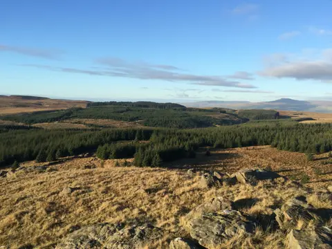
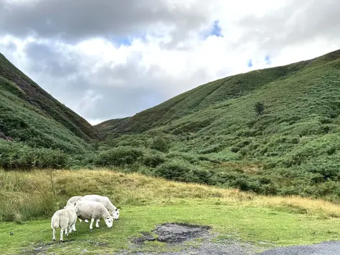
Ward's Stone tops out at 562 m in Lancashire. It is one of the 1,546 Marilyns — British hills with at least 150 m of drop on every side. Only one of the twelve hills the Albion Guide maps in Lancashire stands higher. The surrounding countryside is part of the Forest of Bowland National Landscape.
Other hills nearby include White Hill (Lancashire) and Fair Snape Fell. The nearest railway station is Wennington, 11.5 km to the north.
More at hill-bagging.co.uk