Approximate location — this spot is pinned to the nearest village, so the exact point may be a little way off.
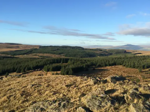
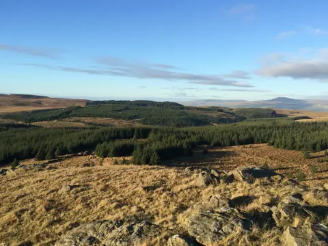
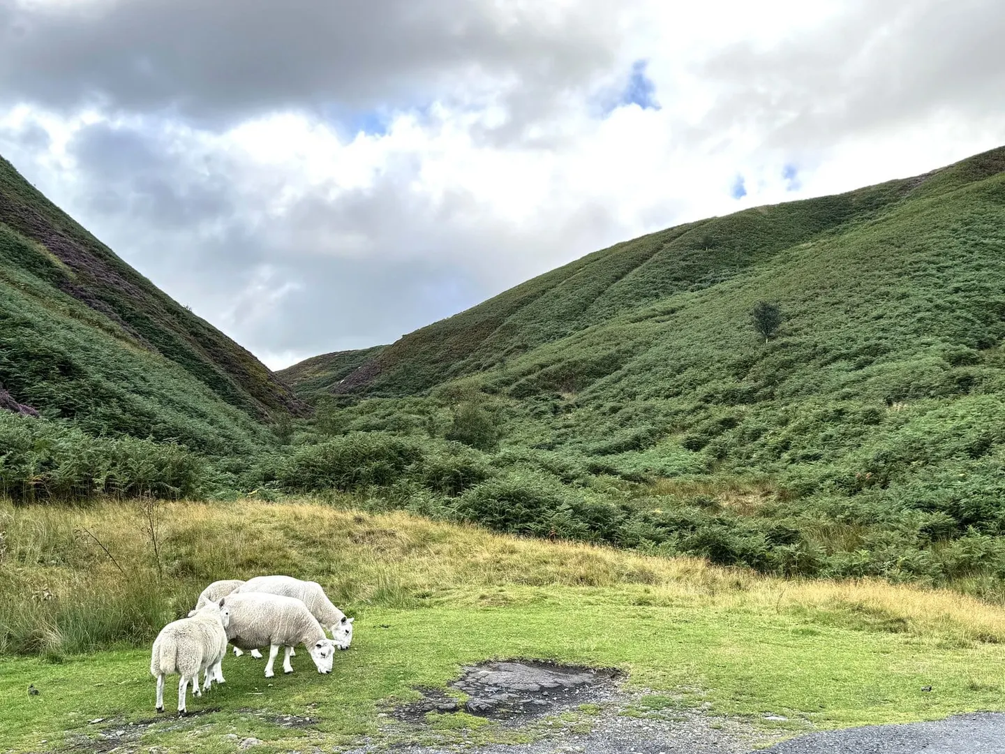
The Trough of Bowland is the narrow pass that carries the old road over the heart of the Forest of Bowland, climbing between steep, near-empty fells before dropping to the Dunsop and Hodder valleys. It’s a glorious drive, or a long and lonely walk, and one of the darkest skies in England for stargazing. Free and open; the nearest station is Clitheroe, a good 12km to the south-east, so a car helps.