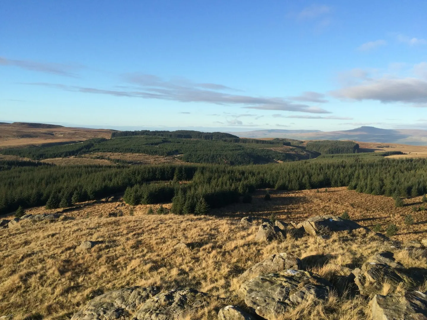
Forest of BowlandPhoto Robin Cross / Unsplash
Places to explore near Clitheroe StationClitheroe
67 places within 10 km — the standouts first, nearest first within each group. 1 is a national icon.
Worth the tripnational icons and local highlights within reach
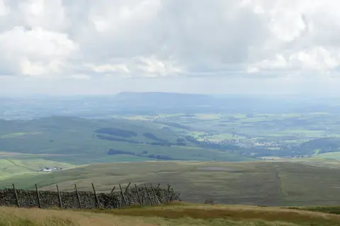
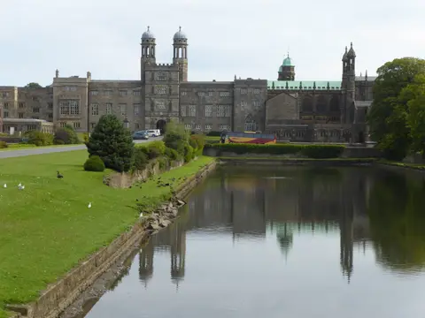
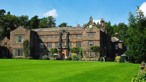
Also nearbygood places nearby, nearest first
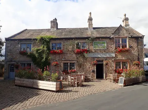
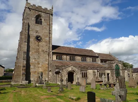
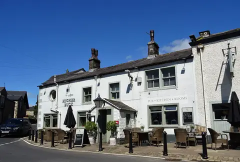
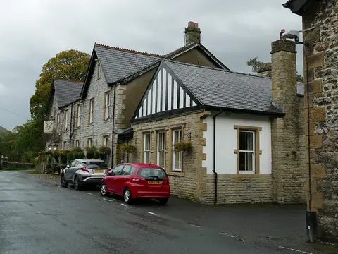
Everything else within 10 km (46) — reserves, earthworks & places to check before travelling
- Great MittonVillage3.9 km SW
- The Three FishesPub4 km SW
- All Hallows Church, Great MittonChurch4 km SW
- The Aspinall ArmsPub4.1 km SW
- The Rum FoxGastropub4.3 km N
- The Red Pump InnPub4.7 km W
- The Assheton ArmsPub4.9 km NE
- SawleyVillage5.6 km NE
- Sawley Cistercian abbeyAbbey5.7 km NE
- The Spread EaglePub5.7 km NE
- St Mary's Church, WhalleyChurch5.9 km S
- Pendle WayLong-distance path6 km E
- Whalley Abbey GatehouseAbbey6 km S
- Hurst GreenVillage6.9 km SW
- The Shireburn ArmsPub7 km SW
- BarleyVillage7.5 km E
- The Pendle InnPub8.1 km E
- Holden Clough Nursery & GardenGarden8.2 km N
- Roaming RoostersFarm & farm shop8.5 km SE
- Newchurch-in-PendleVillage8.5 km E
- St Mary's Church, Newchurch-in-PendleChurch8.5 km E
- The Coach and HorsesPub8.6 km NE
- Bolton-by-BowlandVillage8.6 km NE
- Bowland Wild Boar ParkAttraction9.4 km W
- WhitewellVillage9.5 km NW
- The Inn at WhitewellPub9.6 km NW
- The Parkers ArmsPub9.6 km NW
- Newton-in-BowlandVillage9.6 km NW
- Mrs Dowson's Farm & Ice CreamFarm & farm shop9.9 km SW
- Salthill and Bellmanpark QuarriesSSSIaccess unclear1 km NE
- Coplow QuarrySSSIaccess unclear1.3 km NE
- River Ribble at Edisford BridgeSwimming spot1.6 km W
- Clitheroe Knoll ReefsSSSIaccess unclear2.7 km E
- Little Mearley CloughSSSI3.8 km E
- Hodder River SectionSSSIaccess unclear4 km SW
- Light CloughSSSIaccess unclear4.4 km S
- The Freemasons at WiswellPub4.4 km S
- St Leonard's Church, DownhamChurch5.5 km E
- SabdenVillage5.8 km SE
- Whalley Cistercian abbeyAbbeyaccess unclear6 km S
- Portfield hillfortHillfortaccess unclear6.5 km S
- Easington FellMarilyn6.8 km N
- Cock Wood GorgeSSSIaccess unclear7.3 km S
- Longridge Fell - Spire HillMarilyn8.4 km W
- New Ing MeadowSSSIaccess unclear9.6 km NE
- Langcliff Cross MeadowSSSIaccess unclear9.7 km N
Ordered by how far each place is worth travelling for, then by distance. Distances are straight-line to the nearest edge of each place — paths wind, of course.