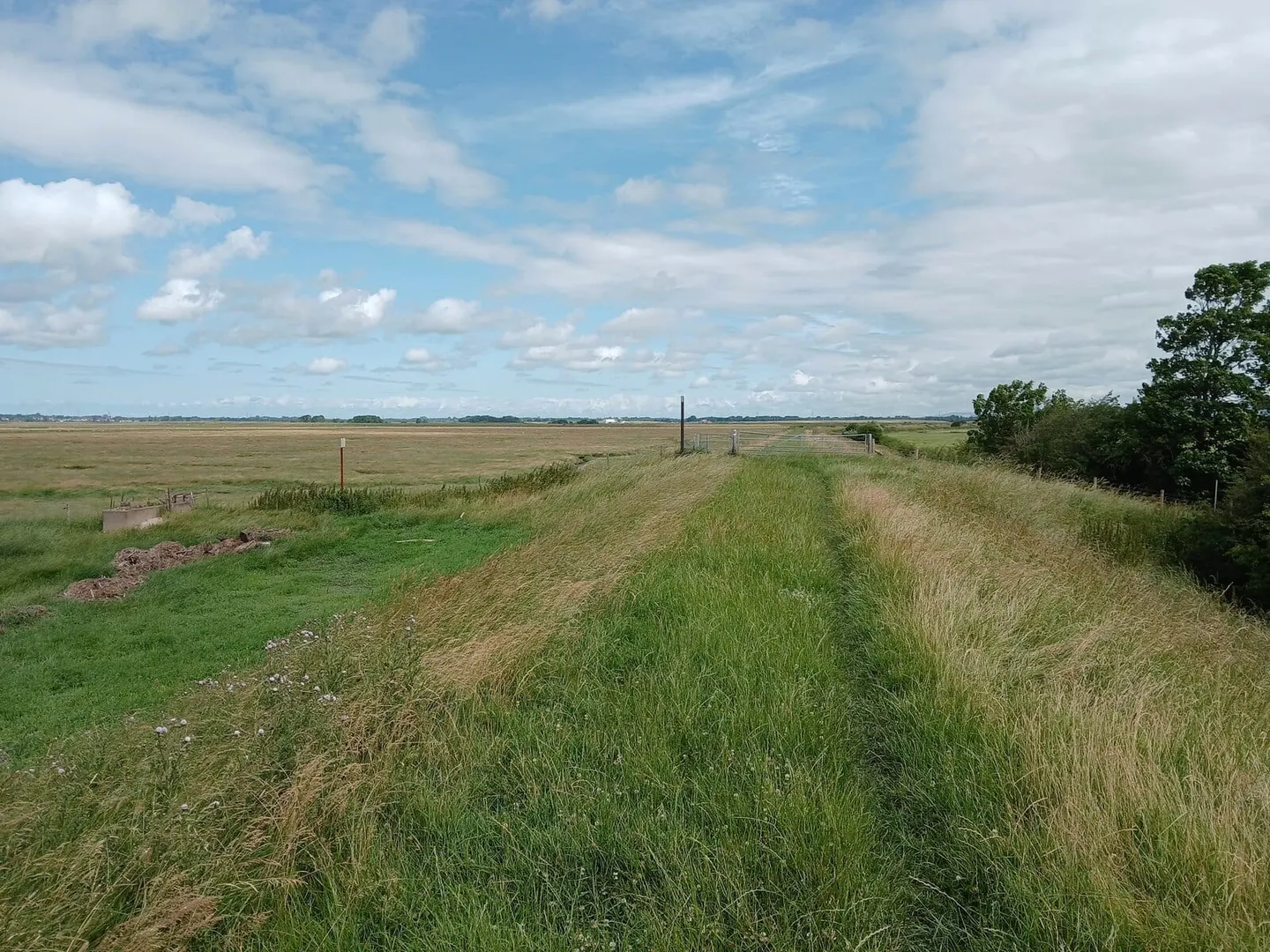
Seventy miles up the Ribble from its estuary near Preston to the high Dales moor around Ribblehead
Indicative — sampled from open terrain data along the simplified route.
The Ribble Way follows the River Ribble upstream for about 70 miles, from the tidal marshes at Longton on its estuary near Preston to the open fells around Ribblehead, close to the river’s source on Cam Fell. It is a valley walk that climbs gradually from sea level to the moor, and most people take four or five days over it, going upstream so the country grows wilder as they go.
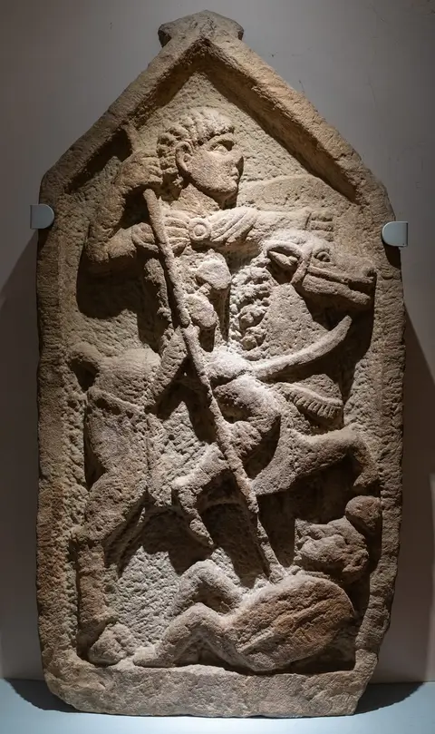
The lower river is gentle and pastoral. From the saltmarsh the path passes Preston and runs up through the Ribble valley by Ribchester, a village on the site of a Roman fort, and Clitheroe under its castle, with Pendle Hill filling the skyline to the east. Only in its upper reaches does the walk enter genuinely high ground, crossing into the Yorkshire Dales at Settle and climbing on through Horton-in-Ribblesdale into the three-peaks country of Ingleborough, Whernside and Pen-y-ghent.
For most of its length the walking is easy — riverside meadow, farm track and quiet lane — and rarely far from a village. The final section onto the fells below Ribblehead is the most exposed and the most demanding, and needs settled weather and proper gear.
Both ends and the middle are reachable by train. The Settle–Carlisle line runs up the valley with stations at Settle, Horton-in-Ribblesdale and Ribblehead itself, so the upper part in particular can be walked in stages using the railway.