Places to explore near Ambleside
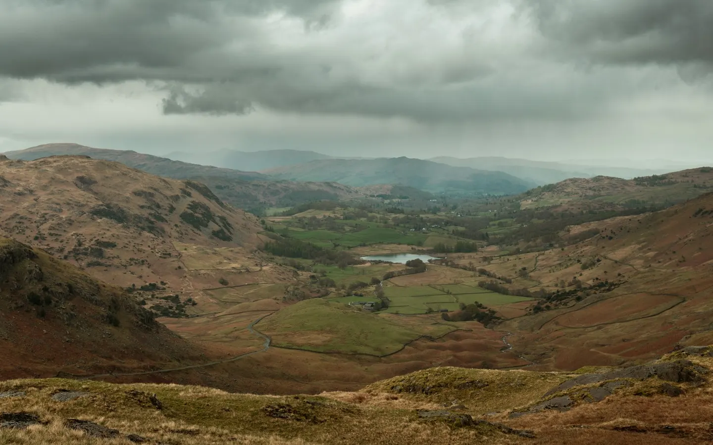
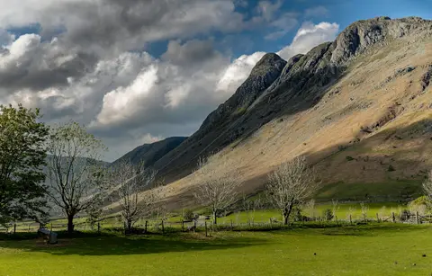
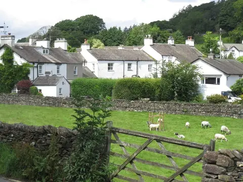
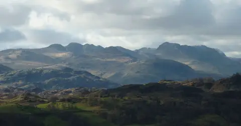
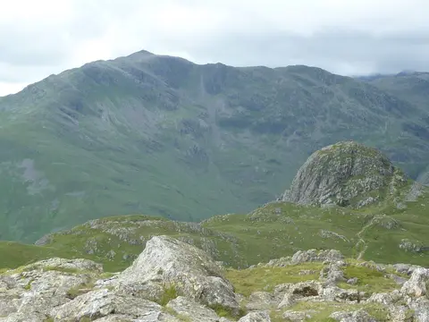
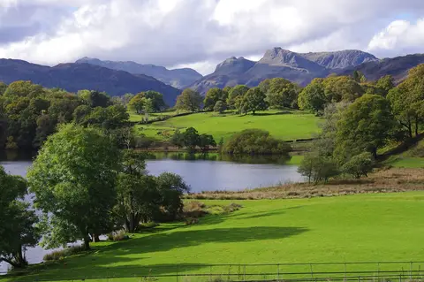
At the head of Windermere where the Rothay comes down, Ambleside is a walkers' town of grey Lakeland stone, built on wool and now on boots and rope. Stock Ghyll Force tumbles through woods behind the main street, and the fells crowd close on every side — the horseshoe of Fairfield to the north, Loughrigg Fell low across the valley, and the crags of the Langdale Pikes to the west. Wordsworth's Rydal Water lies a mile up the road.
Ambleside sits inside the Lake District National Park. 171 places within 25 km — the standouts first, nearest first within each group. 31 are national icons.
Worth the tripnational icons and local highlights within reach
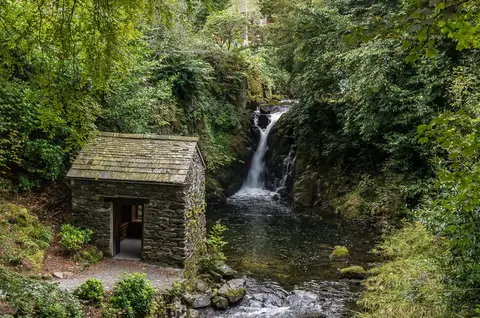
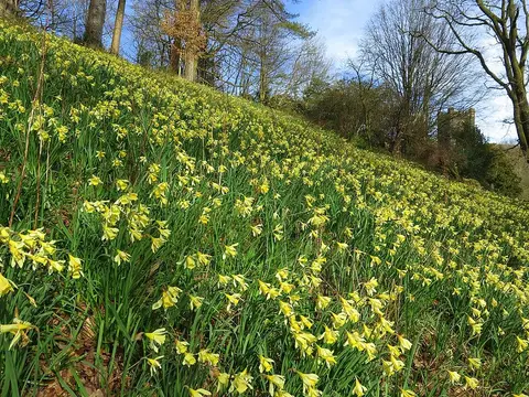
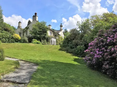
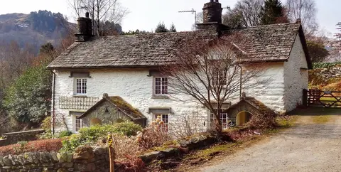
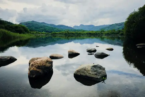
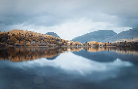
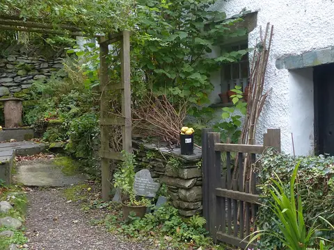
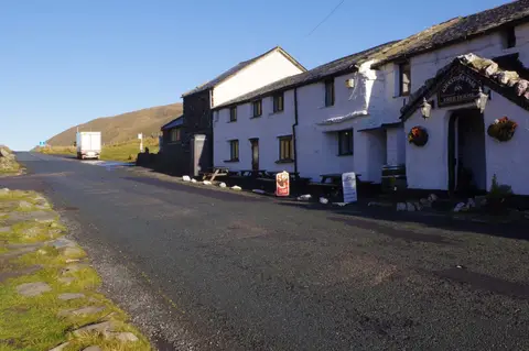
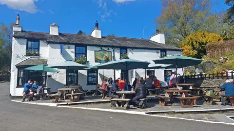
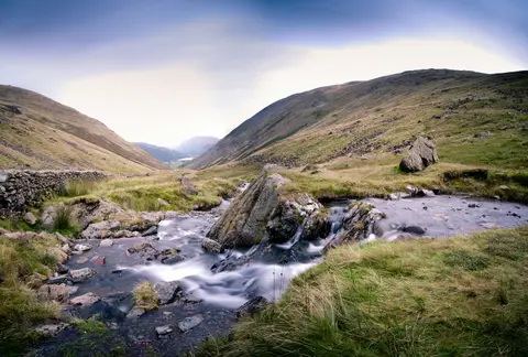
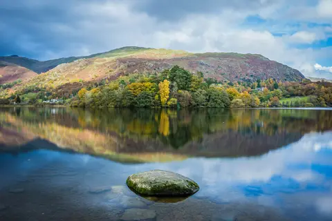
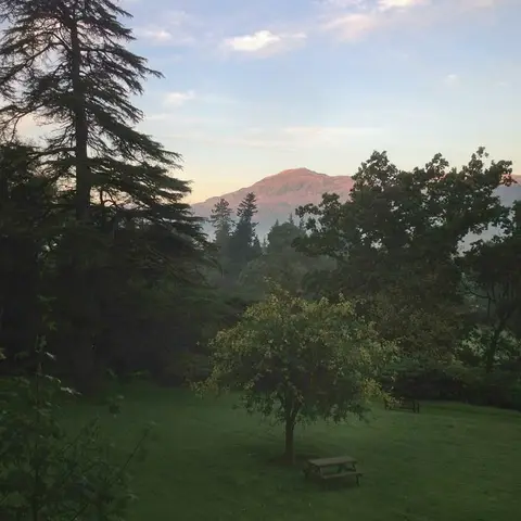
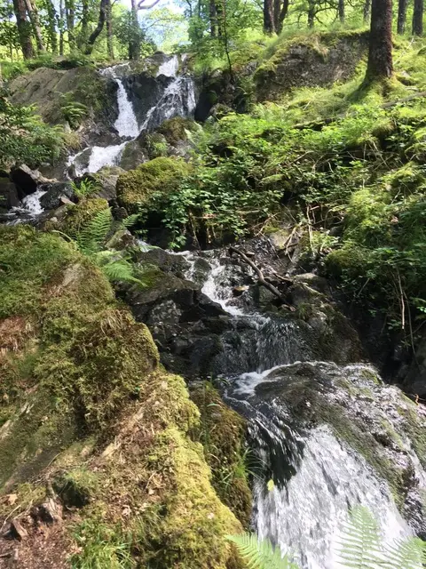
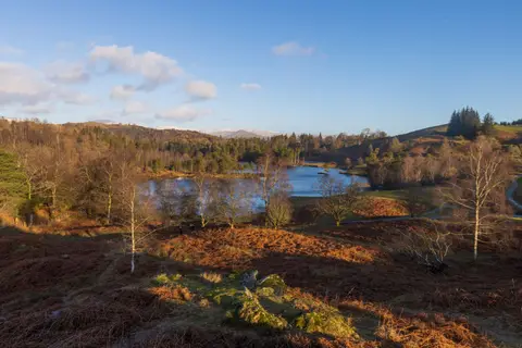
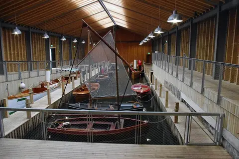
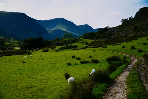

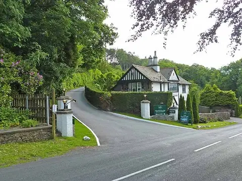
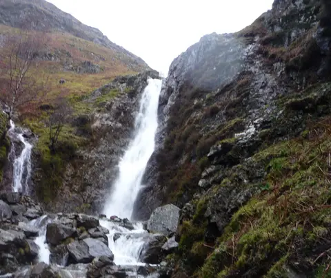
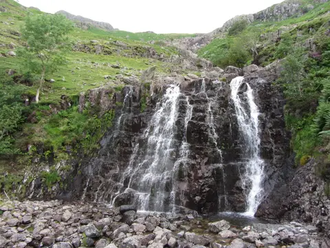
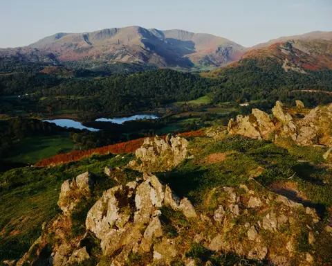
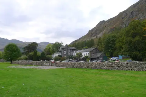
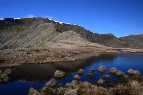
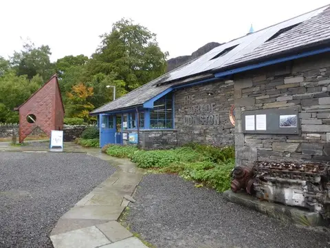
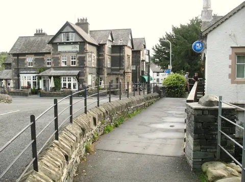
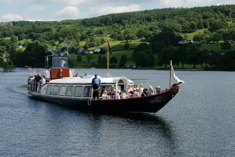
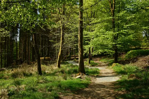
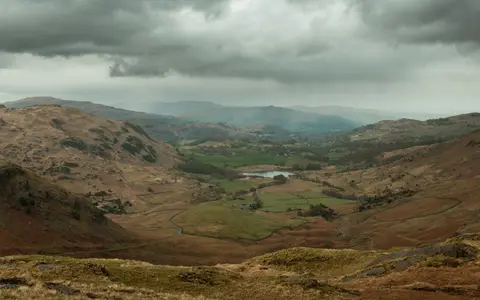
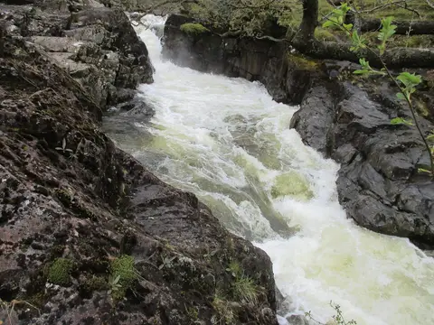
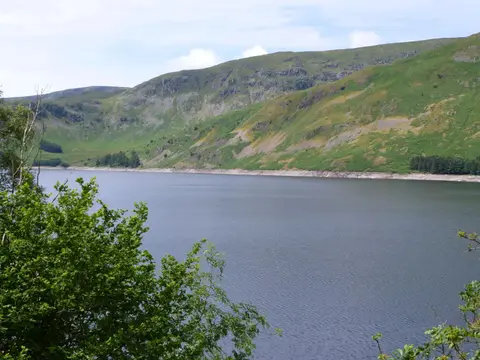
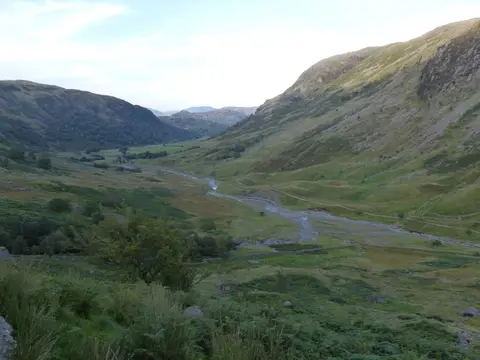
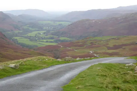

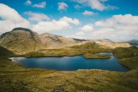
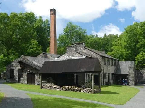
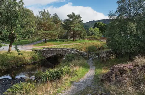
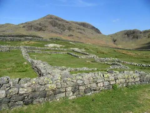
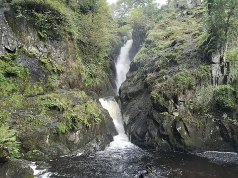
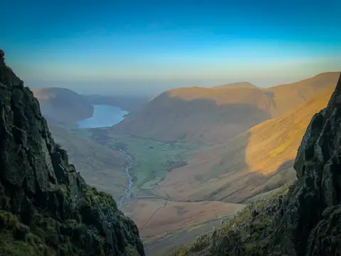
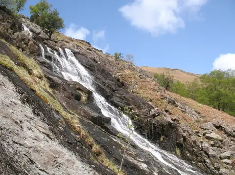
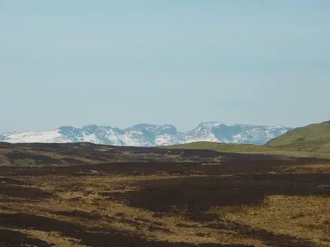

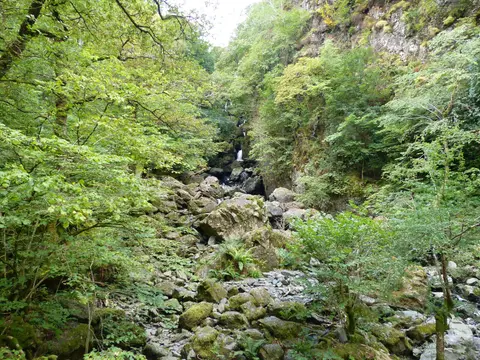
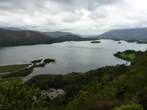

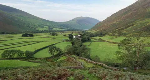
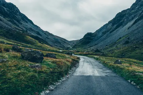
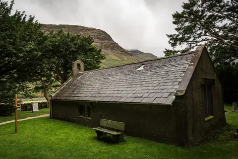
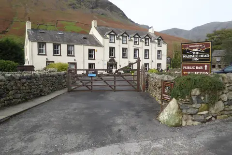
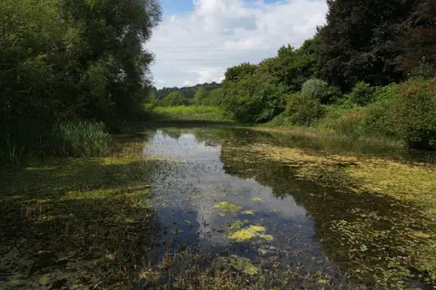
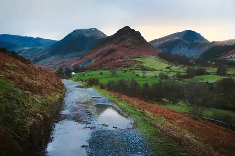
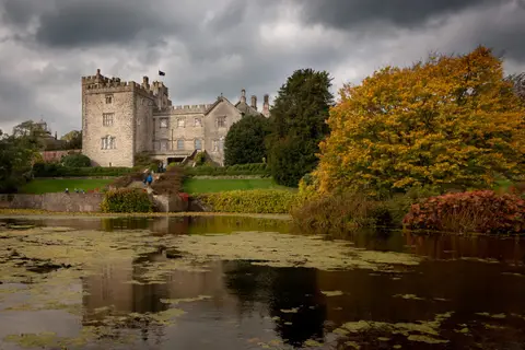
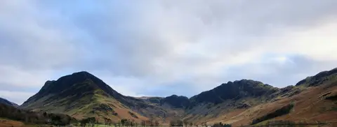
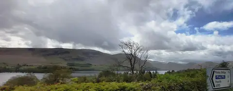
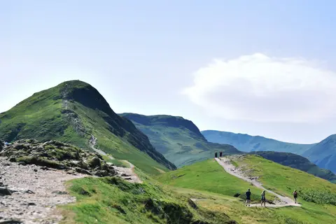
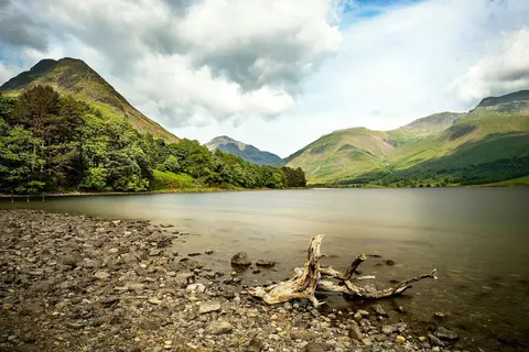
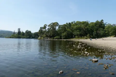
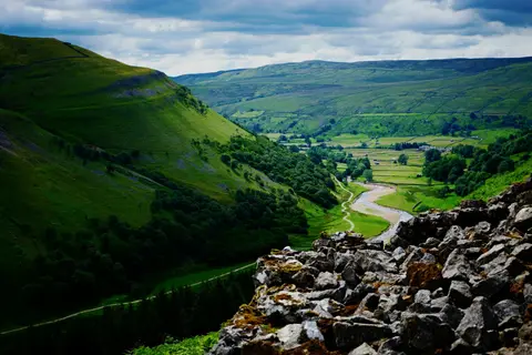
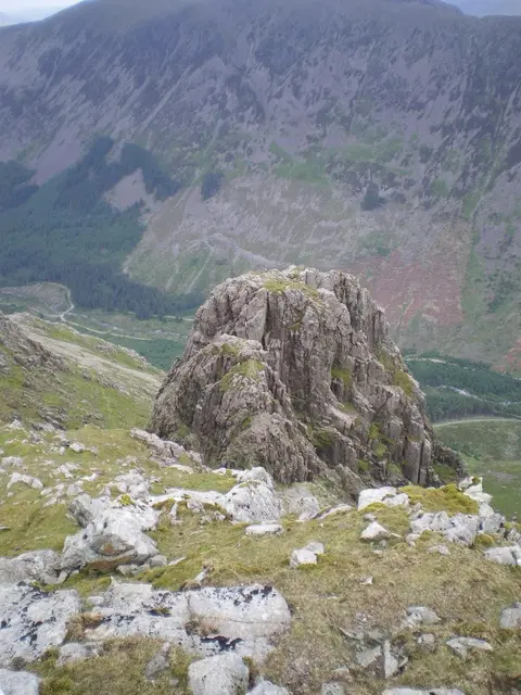
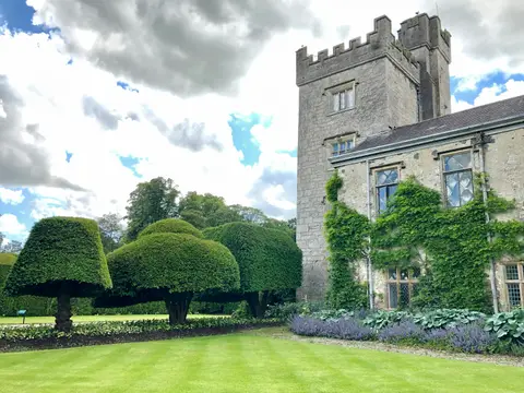
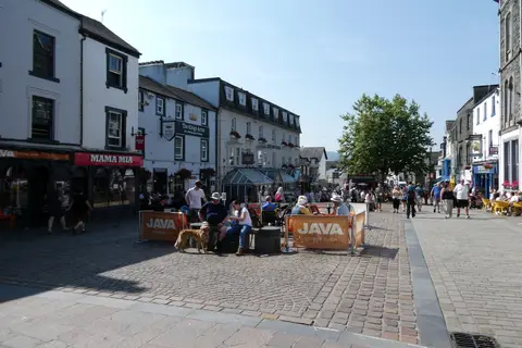
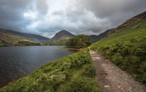
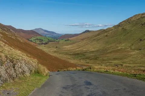
Also nearbygood places nearby, nearest first
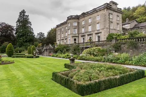
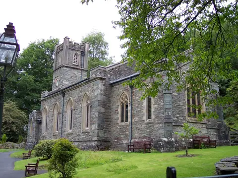
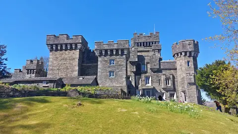
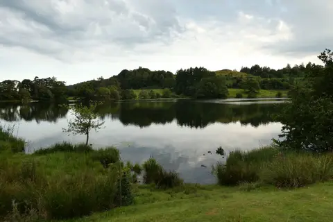
Everything else within 25 km (44) — reserves, earthworks & places to check before travelling
- Brockhole GardensGarden3.3 km SE
- The Mortal ManPub3.4 km E
- Cumbria WayLong-distance path3.5 km W
- Nab ScarWainwright3.8 km NW
- Jesus ChurchChurch3.8 km E
- TroutbeckSSSI4.4 km NE
- Heron Pike (Rydal)Wainwright4.7 km NW
- Holehird GardensGarden4.7 km SE
- The Outgate InnPub4.8 km SW
- The Britannia InnPub4.9 km W
- Red ScreesWainwright5.1 km N
- Grasmere Gingerbread ShopFarm & farm shop5.2 km NW
- St Oswald's Church (Grasmere)Church5.2 km NW
- The YanRestaurant5.3 km NW
- Tweedies BarPub5.3 km NW
- Wainwrights' InnPub5.6 km W
- Little LangdaleVillage5.7 km W
- St Mary's Church, AmblesideChurch0.1 km NW
- Ambleside Roman fortRoman archaeological site0.6 km SW
- The Golden RulePub0.6 km N
- Loughrigg Fell FlushesSSSI0.8 km W
- The Wateredge InnPub0.8 km S
- Skelghyll BeckSSSI2 km SE
- Low Wray BaySSSIaccess unclear2.6 km S
- BaystonesWainwright2.8 km NE
- Brathay QuarriesSSSIaccess unclear2.8 km SW
- Pets QuarrySSSI3.2 km NE
- Blelham BogNational Nature Reserve3.4 km S
- Blelham Tarn & BogSSSI3.4 km S
- The Queen's Head (Troutbeck)Pub3.7 km SE
- Low PikeWainwright3.8 km N
- The Drunken Duck InnPub3.8 km SW
- Skelwith BridgeVillage3.8 km SW
- Black Fell (Cumbria)Wainwright4.4 km SW
- Low Kingate concentric stone circleStone circleaccess unclear4.4 km NE
- Claife Tarns and MiresSSSI4.6 km S
- High Pike (Scandale)Wainwright4.8 km N
- Heron Pike North TopNuttall5 km NW
- LatterbarrowWainwright fell5 km S
- Sour HowesWainwright5.1 km E
- Troutbeck TongueWainwright5.1 km NE
- Baysbrown WoodSSSI5.5 km W
- Helvellyn & FairfieldSSSI5.6 km N
- Wilson Place MeadowsSSSIaccess unclear5.7 km W
Ordered by how far each place is worth travelling for, then by distance. Distances are straight-line to the nearest edge of each place — paths wind, of course.