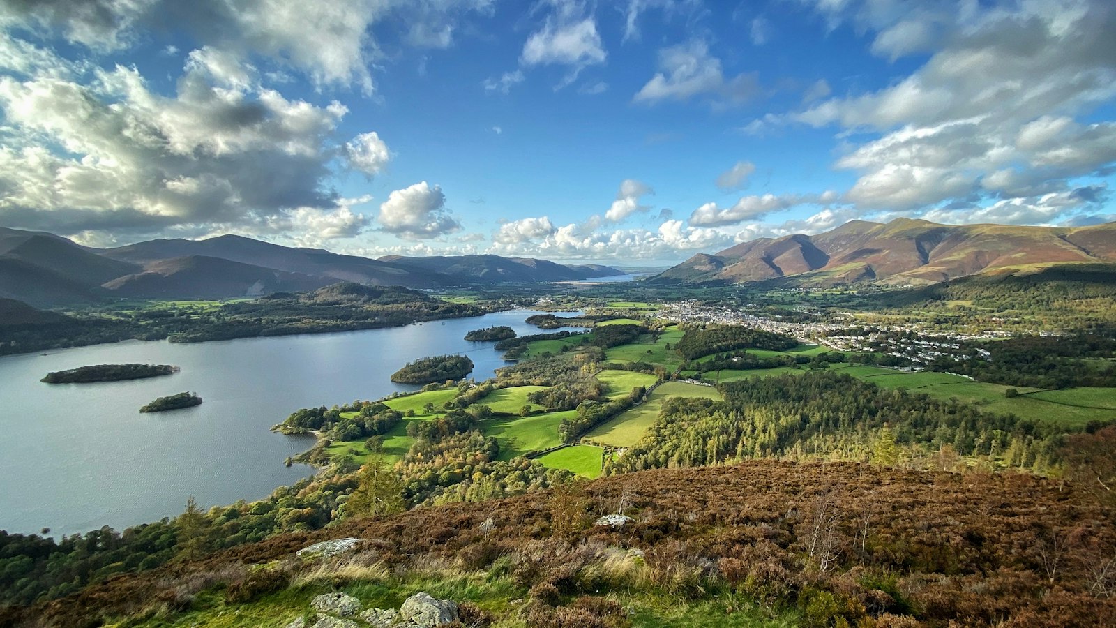
Photo Rick Sykes @ EGEMS Ltd. / Unsplash
Places to explore near Keswick
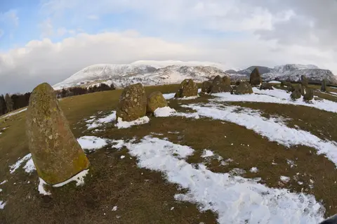
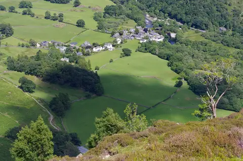
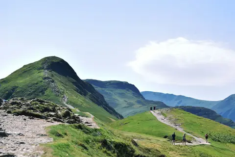
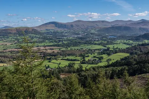
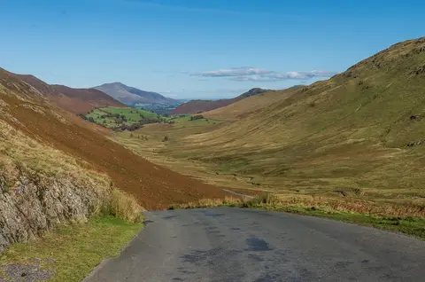
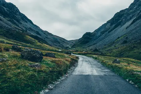
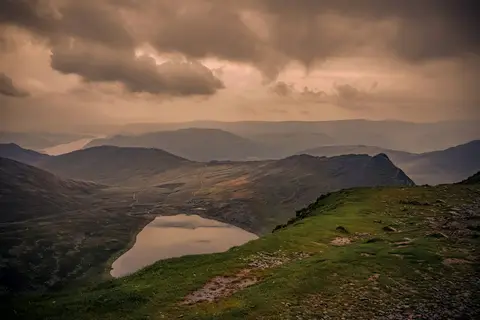
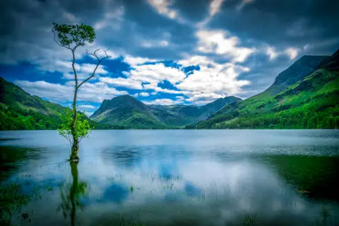
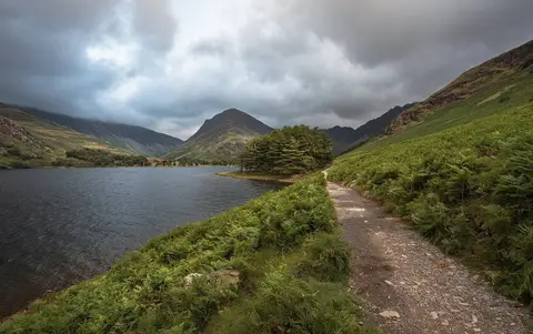
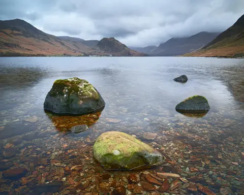
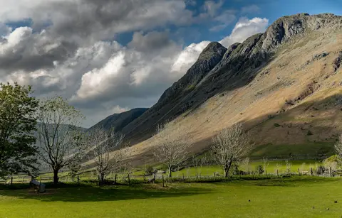
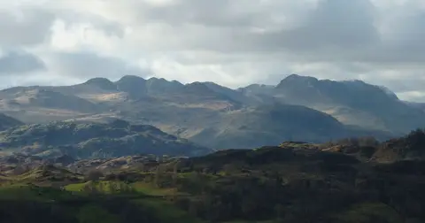
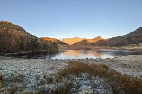
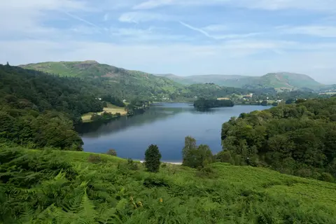
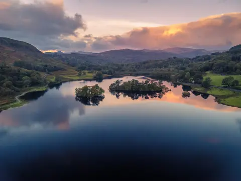
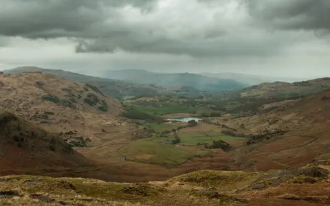
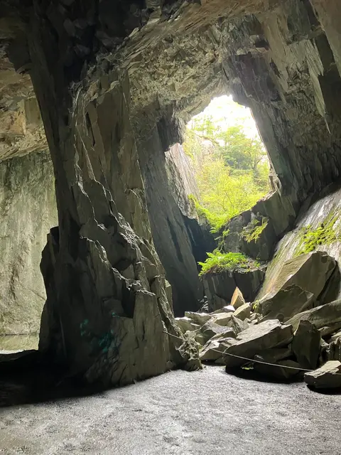
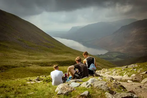
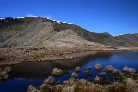
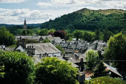
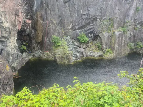
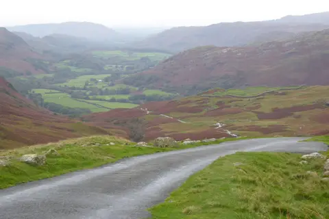
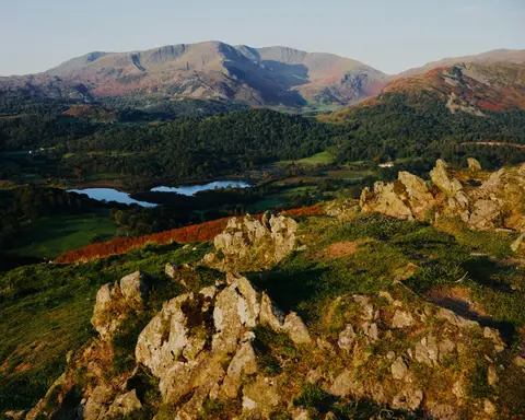
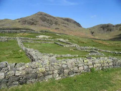
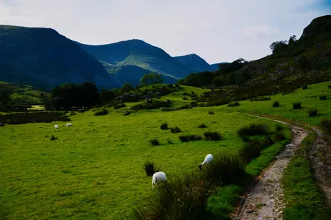
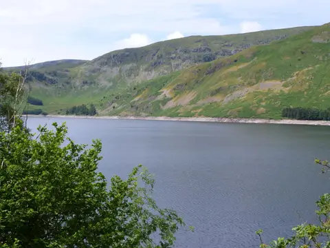
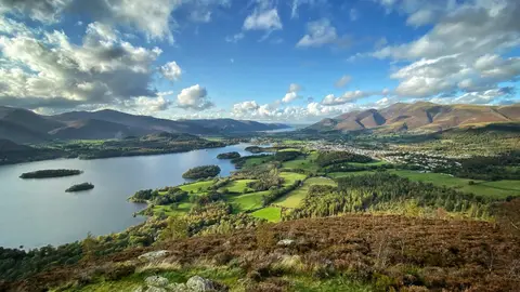
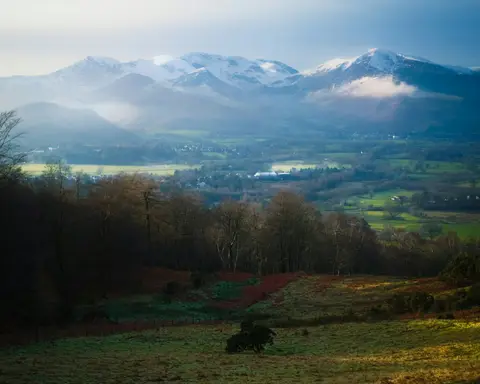
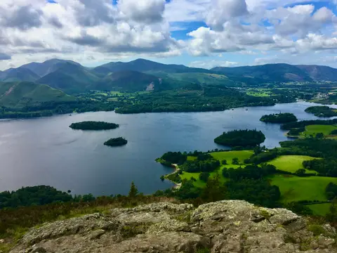
Keswick sits at the head of Derwentwater in the northern Lake District, ringed by fells — Skiddaw and Blencathra to the north, Borrowdale closing in to the south. The Neolithic stone circle at Castlerigg keeps watch above the town, and the lakeshore, Cat Bells and the Newlands round offer walking for every pair of legs. This is slate country, carved by glaciers, and one of the finest bases in England for the high fells.
Keswick sits inside the Lake District National Park. 167 places within 25 km — the standouts first, nearest first within each group. 28 are national icons.
Worth the tripnational icons and local highlights within reach
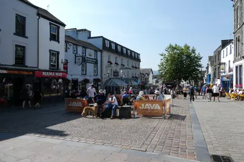
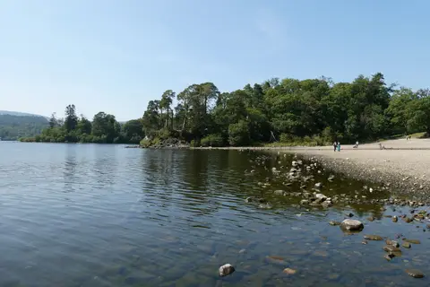
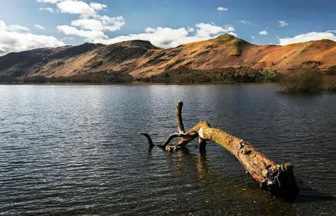
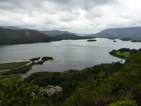
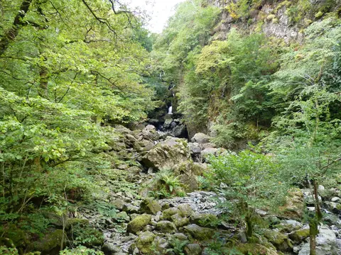
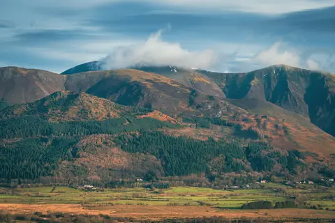
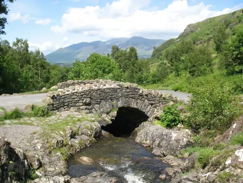
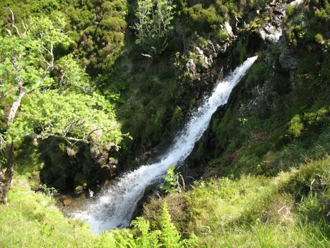
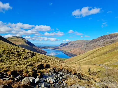
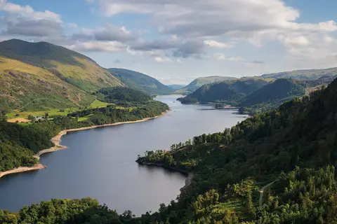
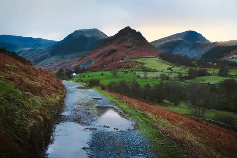

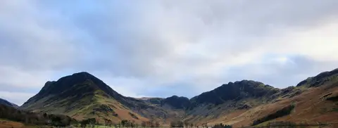
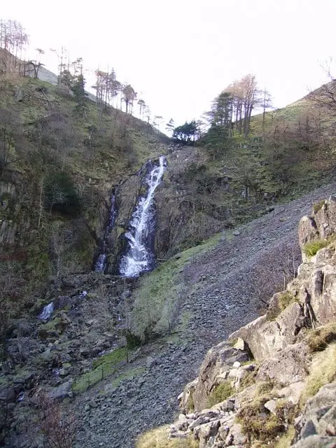
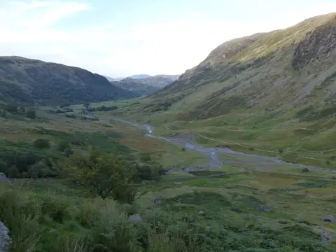
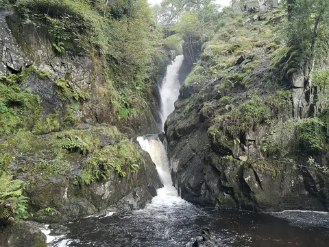
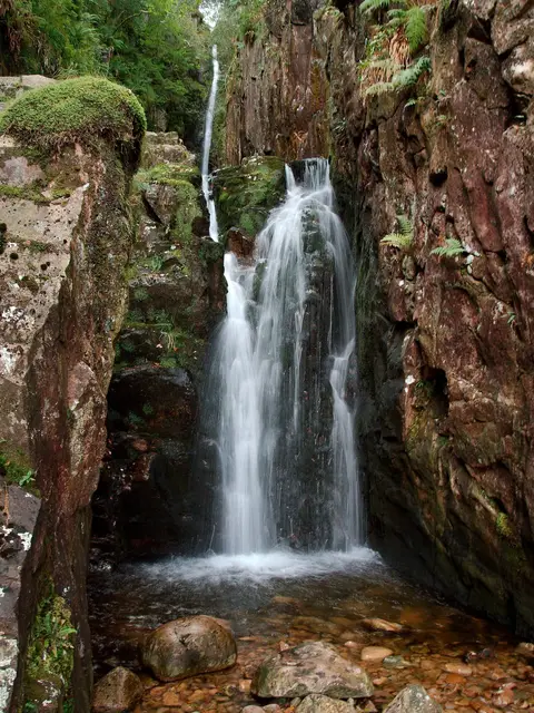
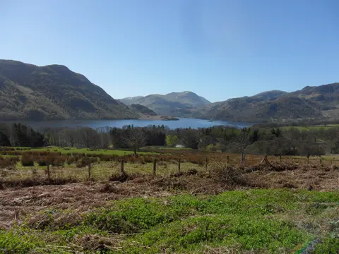
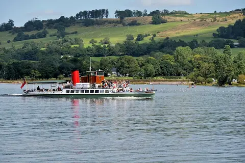
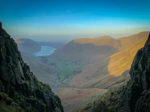
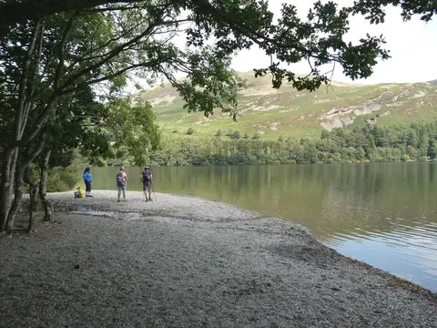
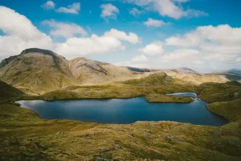
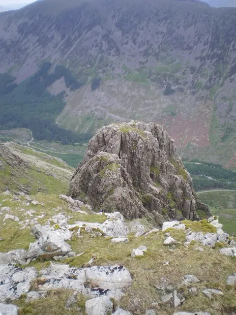
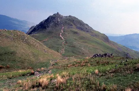
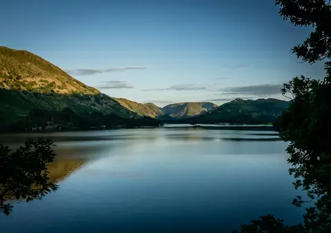
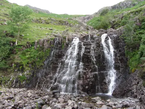
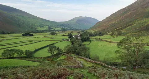
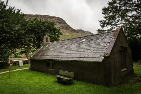
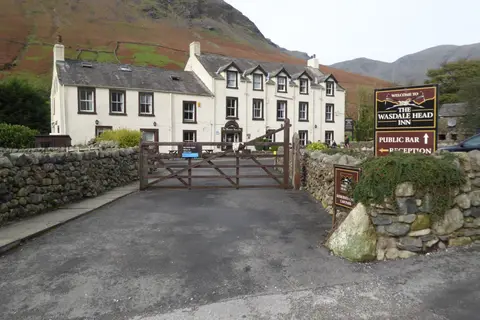
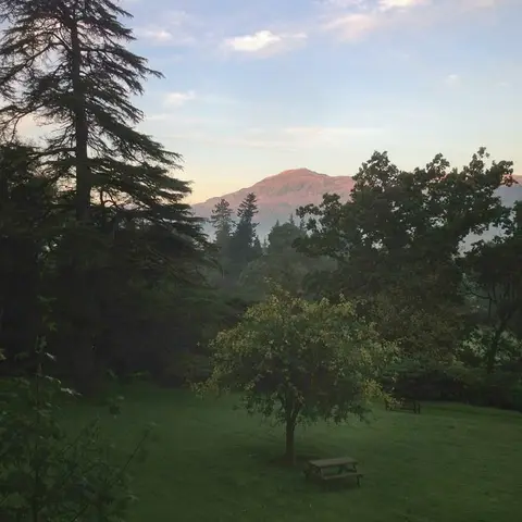
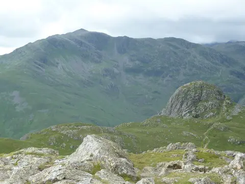
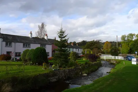
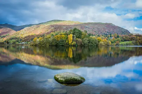
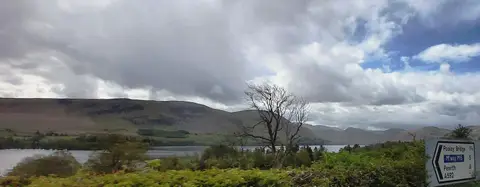
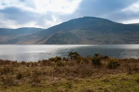
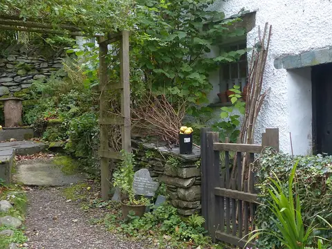
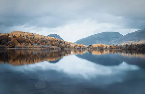
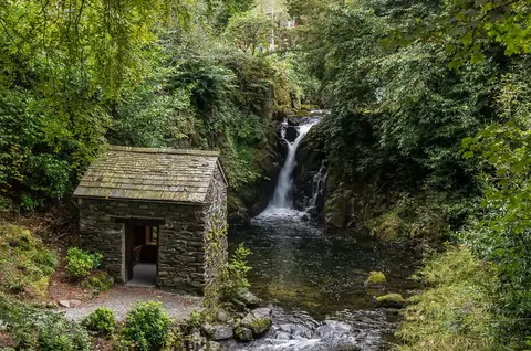
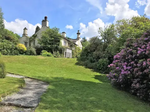
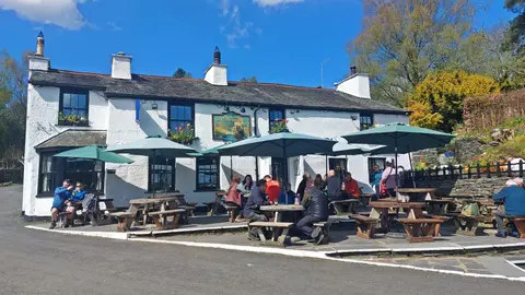
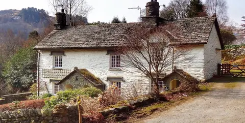
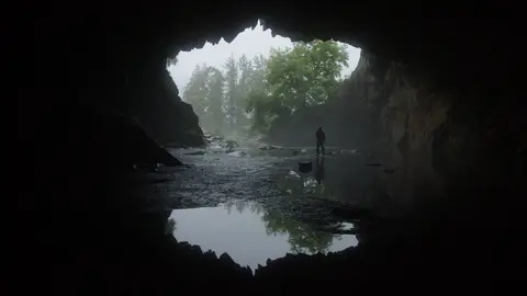
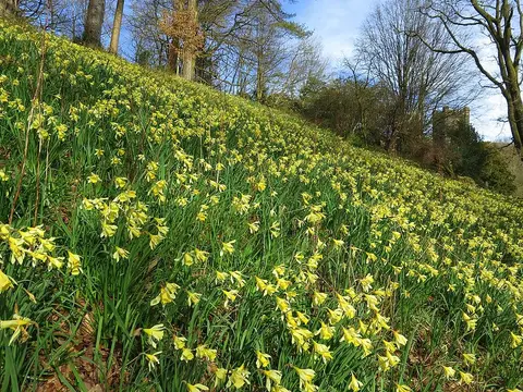
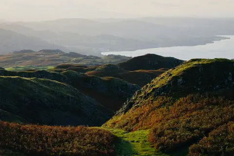
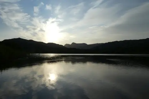
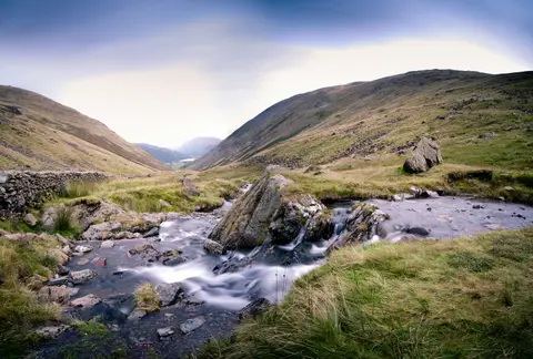
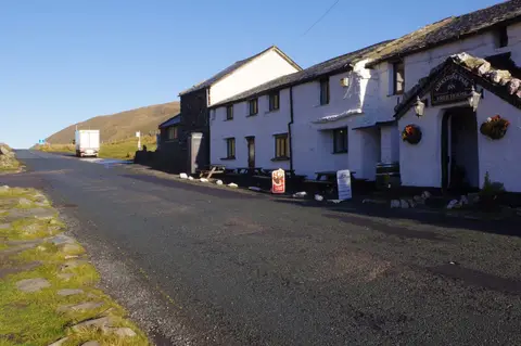
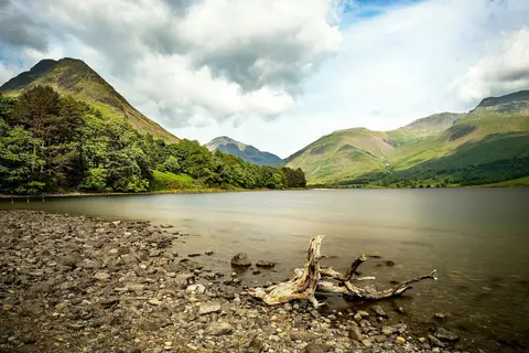
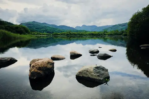
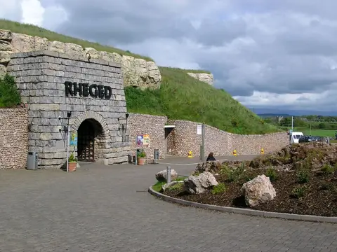
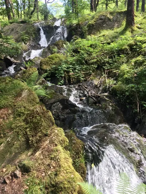
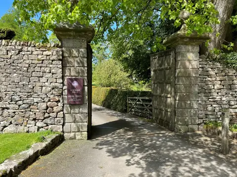
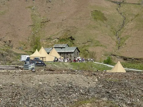
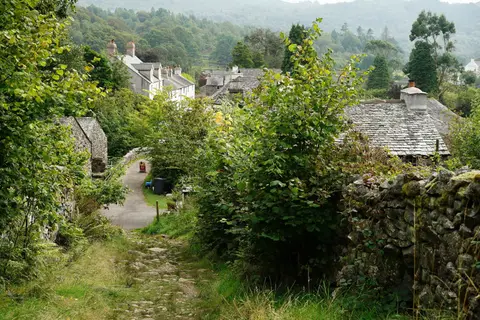
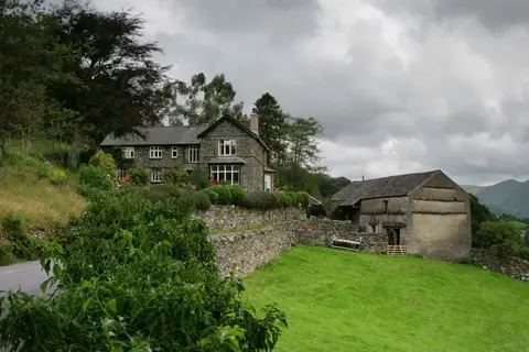
Also nearbygood places nearby, nearest first
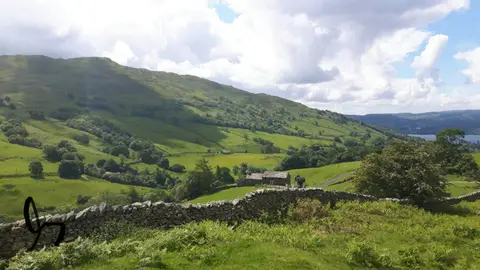
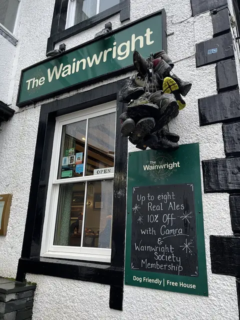
Everything else within 25 km (56) — reserves, earthworks & places to check before travelling
- Carl SideWainwright4.8 km N
- Long SideWainwright5.4 km N
- The Horse and Farrier InnPub5.7 km E
- Mirehouse GardensGarden6 km NW
- Gategill Fell TopNuttall6.3 km NE
- Clough HeadWainwright6.6 km E
- Grisedale PikeWainwright7 km W
- Atkinson PikeNuttall7.4 km NE
- Watendlath TarnTarn7.4 km S
- Hobcarton CragHewitt7.6 km W
- The Dog and GunPub0.2 km SW
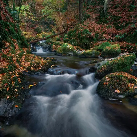
- Borrowdale RainforestNational Nature Reserve0.5 km S
- Castlehead WoodSSSI0.5 km S
- The IngsSSSI1.2 km S
- Great WoodSSSI1.8 km S
- Fellside Sauna, LingholmSauna1.8 km SW
- Armboth FellsSSSI2.1 km SE
- Skiddaw GroupSSSI2.6 km NE
- SwinsideMarilynaccess unclear2.7 km SW
- Braithwaite MossSSSIaccess unclear3 km NW
- Buttermere FellsSSSI3.4 km W
- BraithwaiteVillage3.6 km W
- The Coledale InnPub3.8 km W
- Lonscale FellWainwright4.1 km NE
- Bleaberry FellWainwright4.2 km SE
- High RiggWainwright4.3 km E
- BarrowWainwright4.4 km SW
- Dodd (Skiddaw)Wainwrightaccess unclear4.6 km NW
- Thirlmere WoodsSSSI4.9 km SE
- Sale HowNuttall5.2 km N
- Bramcrag Quarry & Wanthwaite MineSSSI5.2 km E
- Chapel Bridge MeadowsSSSI5.5 km SW
- Causey PikeWainwright5.6 km SW
- Shoulthwaite Gill hillfortHillfortaccess unclear5.6 km SE
- ThrelkeldVillage5.6 km E
- High Seat (Cumbria)Wainwright5.7 km S
- Barf and ThornthwaiteSSSI5.7 km NW
- Ullock PikeWainwright5.8 km NW
- Raven CragWainwrightaccess unclear5.9 km SE
- Reecastle Crag hillfortHillfort5.9 km S
- Maiden MoorWainwright6.1 km SW
- OutersideWainwright6.1 km W
- BarfWainwright6.3 km NW
- Throstle Shaw and Sandbeds FanSSSI6.5 km NW
- Scar CragsWainwright6.6 km SW
- Hollows Farm SectionSSSI6.7 km S
- St Bega's Church, BassenthwaiteChurch7 km NW
- Hot Hill SaunaSauna7 km S
- High Spy North TopNuttall7.1 km SW
- Lord's SeatWainwright7.1 km NW
- Ard CragsWainwright7.2 km SW
- Grange Fell (Cumbria)Wainwright7.2 km S
- High ToveWainwright7.2 km S
- Mungrisdale CommonWainwright7.2 km NE
- BakestallWainwright7.3 km N
- Castle CragWainwright7.7 km S
Ordered by how far each place is worth travelling for, then by distance. Distances are straight-line to the nearest edge of each place — paths wind, of course.