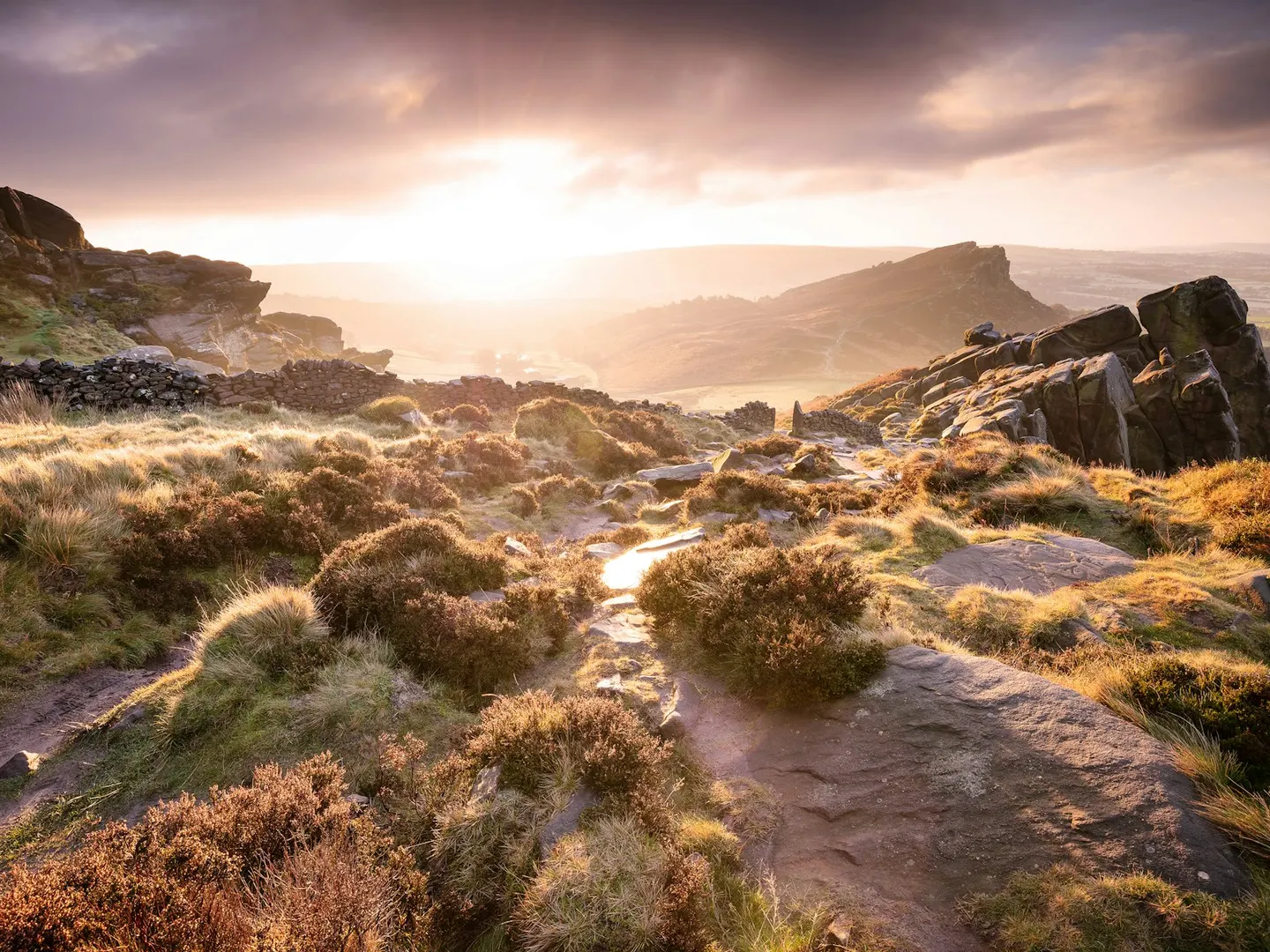
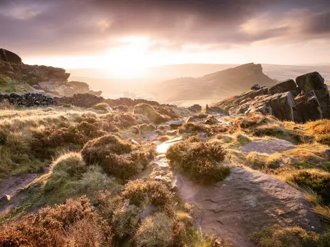
The RoachesPhoto Rob Bates / Unsplash
Places to explore near Buxton
One of the highest market towns in England, Buxton has drawn people to its warm spring since the Romans, and its Georgian Crescent and domed pump room still bottle the water that made its name. The White Peak limestone country begins at the town's edge. Poole's Cavern runs beneath the hillside above, the River Wye carves the crags of Chee Dale to the east, and the moorland Goyt Valley falls away to the west. The classic dale walking of Dovedale and Monsal Head lies within the wider Peak District around.
132 places within 25 km — the standouts first, nearest first within each group. 19 are national icons.
Worth the tripnational icons and local highlights within reach
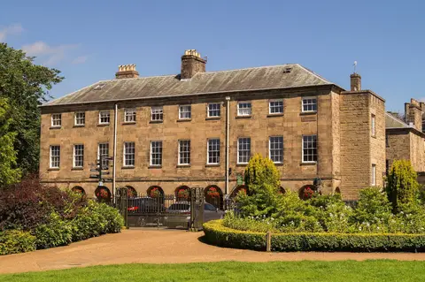
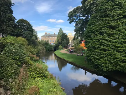
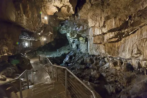
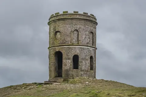

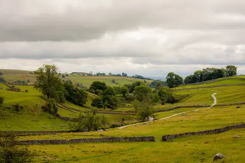
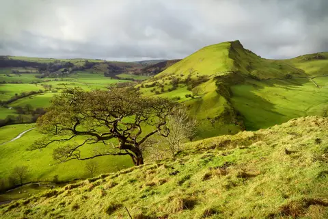
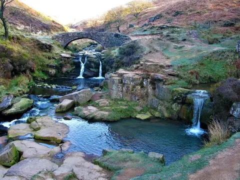
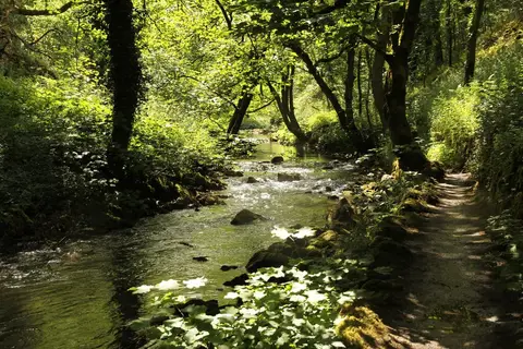
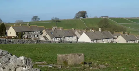
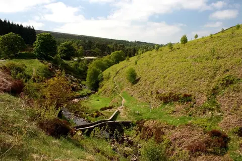
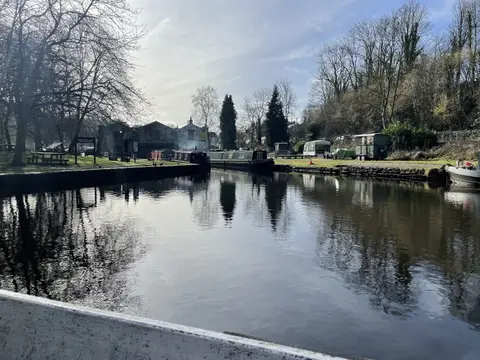
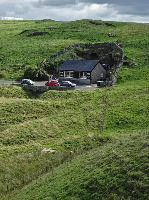
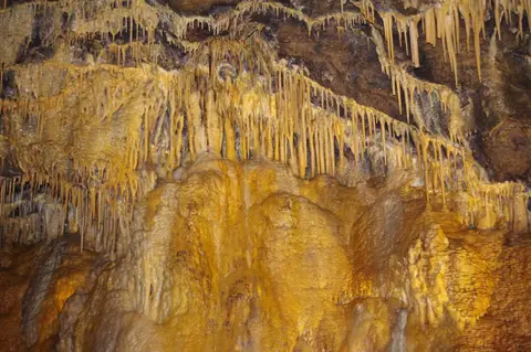
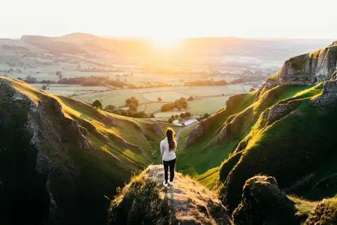
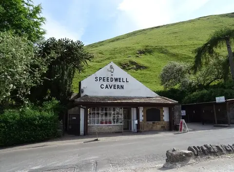
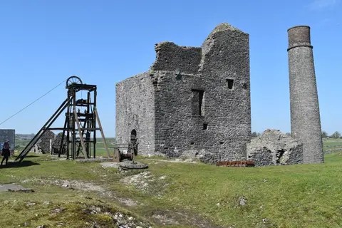
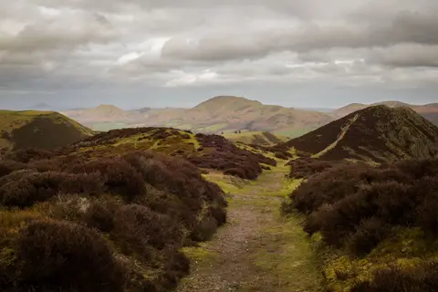
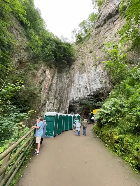
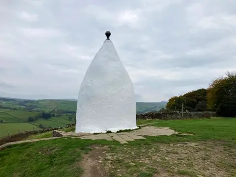
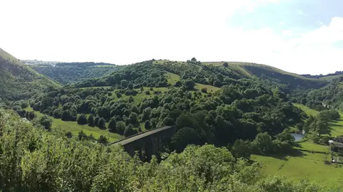
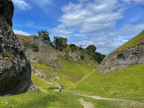
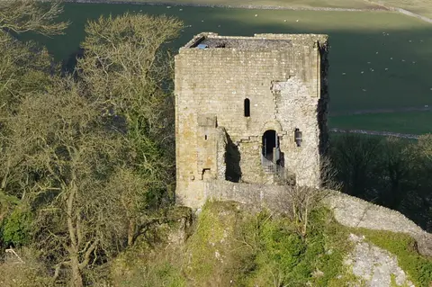
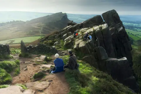
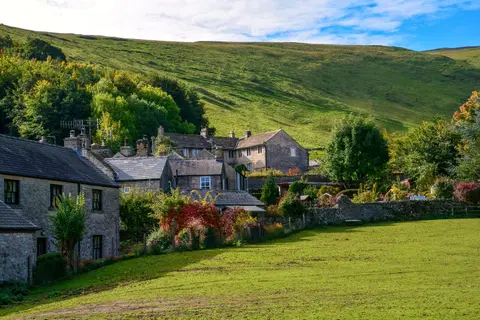
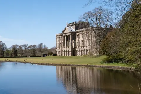
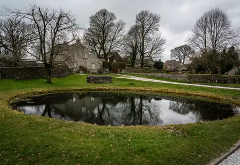
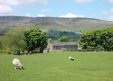
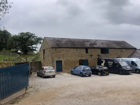
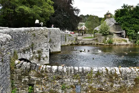
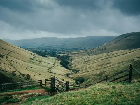
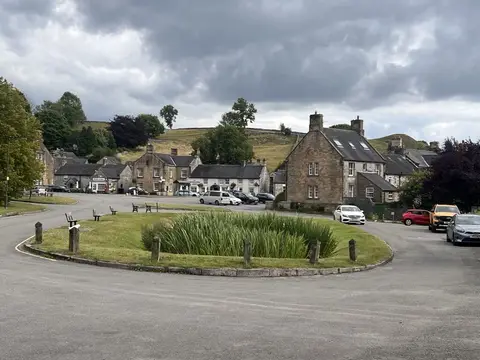
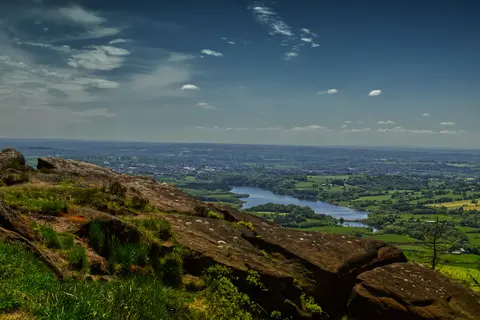
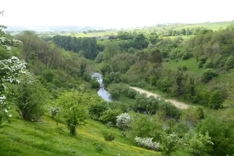
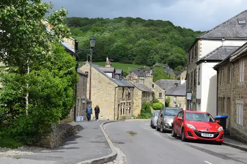
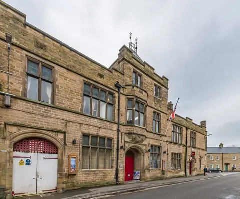
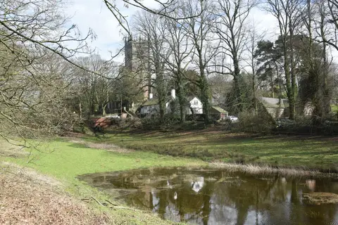
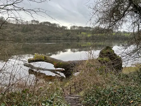
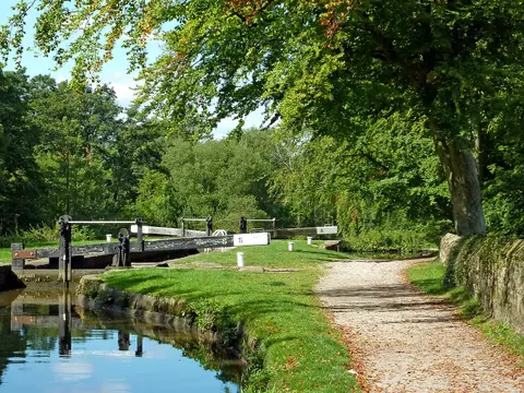
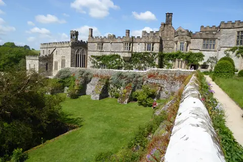
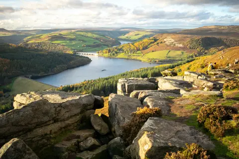
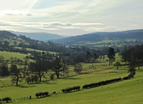
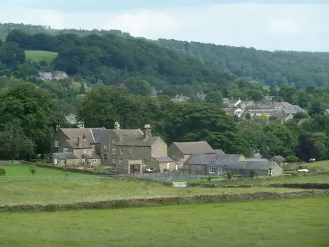
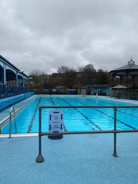
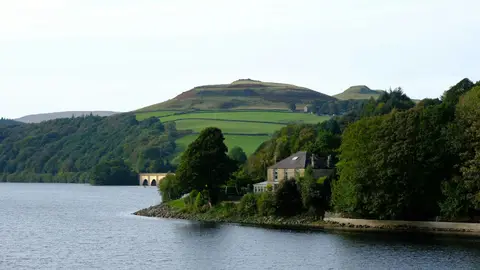
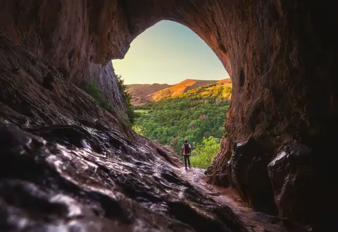
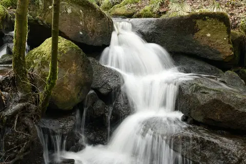
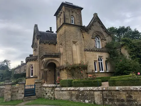
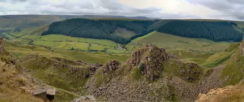
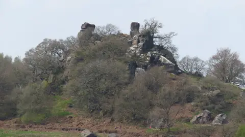
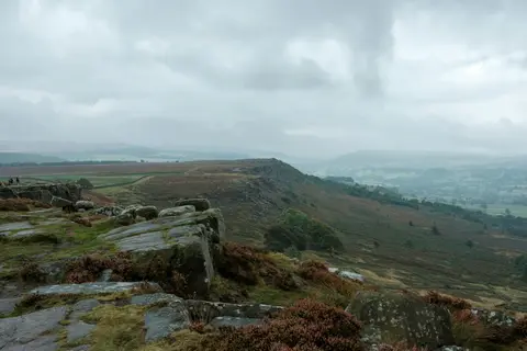
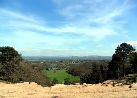
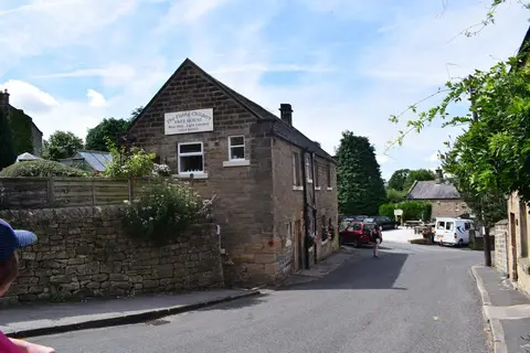
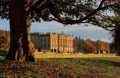
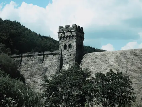
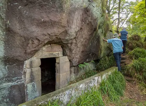
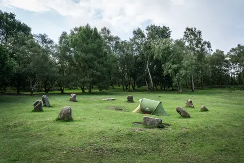
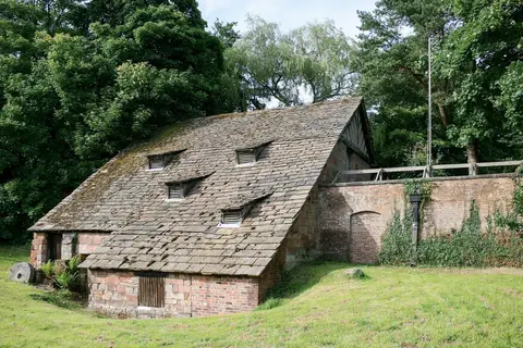
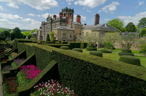
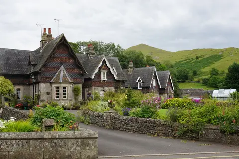
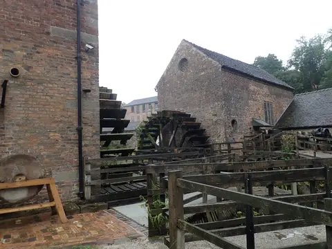
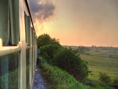
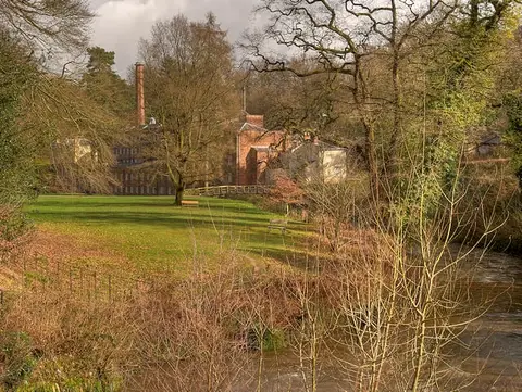
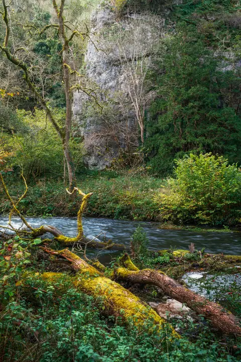
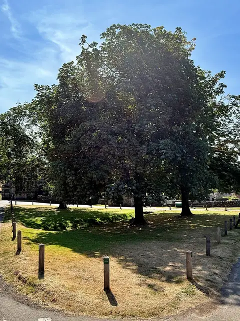
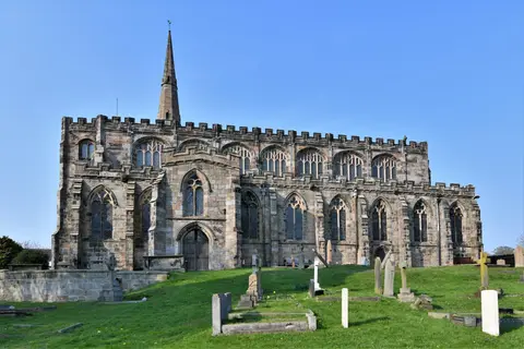
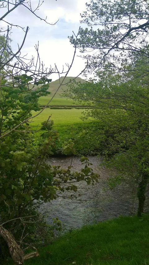
Also nearbygood places nearby, nearest first
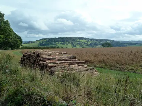
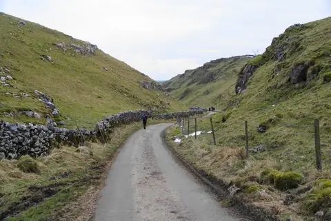
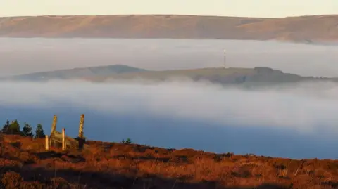
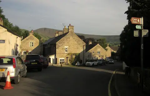
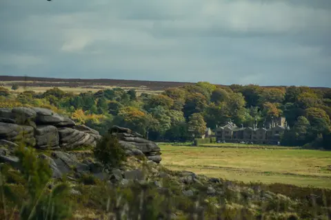
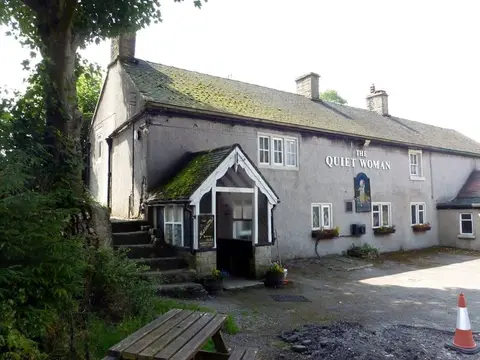
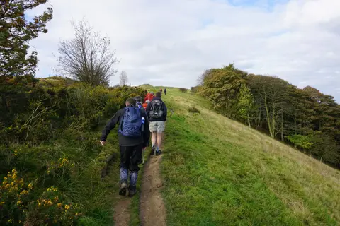
Everything else within 25 km (51) — reserves, earthworks & places to check before travelling
- High WheeldonCountry estate8.4 km SE
- CastletonSSSI8.4 km NE
- LongnorVillage9 km S
- Miller's Dale & RavenstorCountry estate9.1 km E
- Peak Forest CanalCanal9.4 km NW
- St John the Baptist, TideswellChurch9.5 km E
- The Red Lion (Litton)Pub10.4 km E
- Gritstone TrailLong-distance path10.6 km NW
- Cressbrook DaleSSSI10.8 km E
- EdaleCountry estate10.9 km N
- Taddington WoodNature reserve10.9 km E
- Teggs Nose Country ParkCountry park10.9 km W
- Lyme Valley ParkCountry park11.4 km NW
- MonyashVillage11.4 km SE
- EdaleSSSI12.2 km NE
- Three Stags' HeadsPub12.2 km E
- MonyashCountry estate12.3 km SE
- Waterswallows QuarrySSSIaccess unclear2.5 km NE
- Leek MoorsSSSI3.1 km SW
- Topley Pike and Deep DaleSSSI4 km SE
- Duchy QuarrySSSIaccess unclear4.6 km NE
- Combs Edge promontory fortPromontory fort4.9 km N
- Cheeks HillCounty top5 km SW
- Bull RingHengeaccess unclear5 km N
- Combs ReservoirSSSIaccess unclear5.7 km N
- Calton HillSSSIaccess unclear5.9 km E
- Chrome and Parkhouse HillsSSSI5.9 km S
- Chapel-en-le-FrithVillage5.9 km N
- Colshaw PasturesSSSIaccess unclear6 km S
- The Church InnPub6.4 km SE
- Monk's DaleSSSI6.6 km NE
- Five Wells chambered tombChambered tombaccess unclear6.8 km E
- HollinscloughVillage6.9 km S
- FlashVillage7.2 km SW
- Lower Peaslows Farm MeadowSSSIaccess unclear7.3 km N
- Moss CarrSSSIaccess unclear7.5 km S
- Fox Hole CaveSSSI8.3 km SE
- Lee Farm Meadow, TideswellSSSIaccess unclear8.4 km NE
- The Old Hall InnPub8.7 km N
- Toddbrook ReservoirSSSIaccess unclear9 km NW
- Hurdlow MeadowsSSSIaccess unclear9.1 km SE
- Batham Gate, Roman roadRoman archaeological siteaccess unclear9.3 km NE
- Oxlow RakeSSSI9.4 km NE
- Upper LathkillSSSIaccess unclear9.6 km SE
- Dark PeakSSSI9.8 km N
- Tideslow RakeSSSI9.8 km NE
- Portway MineSSSI10.1 km NE
- Murder StoneStanding stoneaccess unclear10.7 km NW
- Pilsbury CastleCastleaccess unclear11.1 km SE
- Fin Cop promontory fortPromontory fortaccess unclear11.7 km E
- Bradwell Dale and Bagshaw CavernSSSI12.3 km NE
Ordered by how far each place is worth travelling for, then by distance. Distances are straight-line to the nearest edge of each place — paths wind, of course.