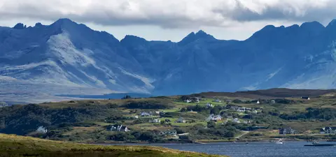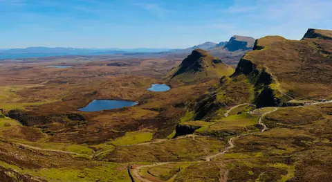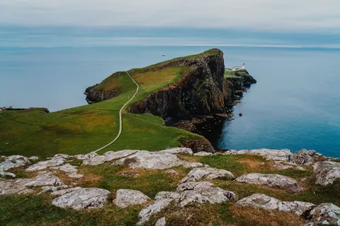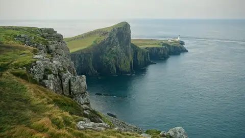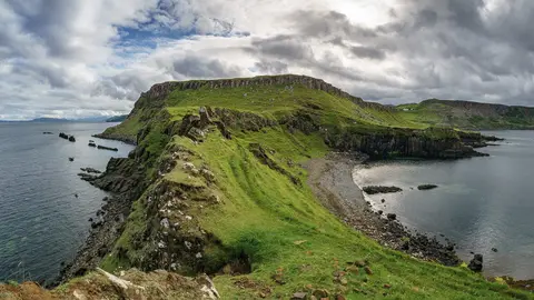
The Cuillin, the Storr and the Quiraing on Scotland’s best-known island.
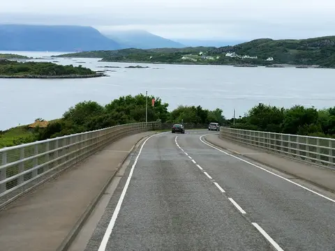
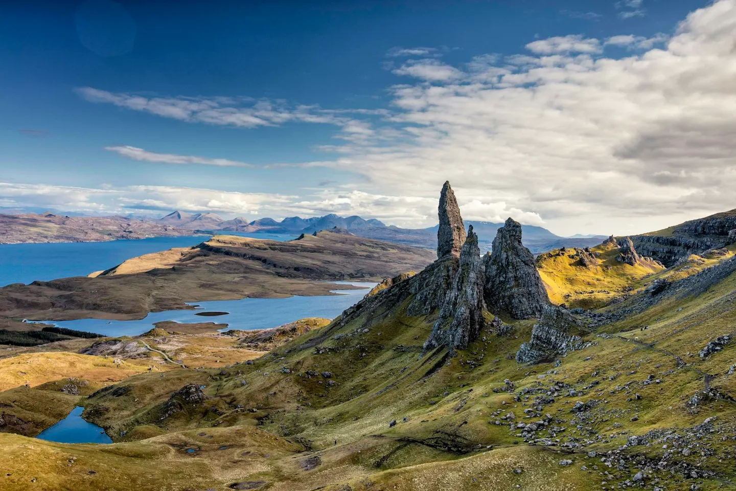
The Skye Bridge crosses from Kyle of Lochalsh to Skye, the largest island in the Inner Hebrides, free to cross since the tolls were scrapped in 2004; CalMac also runs a ferry from Mallaig to Armadale, and a small seasonal turntable ferry crosses from Glenelg to Kylerhea. Portree, the main town, sits around a harbour on the east coast. The jagged, dark Black Cuillin and the smoother, rounded Red Cuillin rise side by side on the skyline. Further north, the Trotternish peninsula is one long landslip, among Britain’s largest, with the ground still moving; the Old Man of Storr is a rock pinnacle above Portree, part of it, and further along the Quiraing is a jumble of pinnacles and hidden grassy plateaus you can walk through.
On the west coast, Dunvegan has been the seat of the MacLeod chiefs for around 800 years, and the castle gardens below the walls run down to the loch, where boat trips go looking for seals. South at Carbost, Talisker Distillery, the island’s oldest working distillery, has run since 1830 and takes visitors round the stills. Further west, Neist Point has a lighthouse and views out towards the Outer Hebrides on a clear day. Roads on Skye are mostly single track, the sea lochs cut deep into the hills, and the weather can turn within the hour. Around 10,000 people live here, more than on any other Hebridean island besides Lewis and Harris.