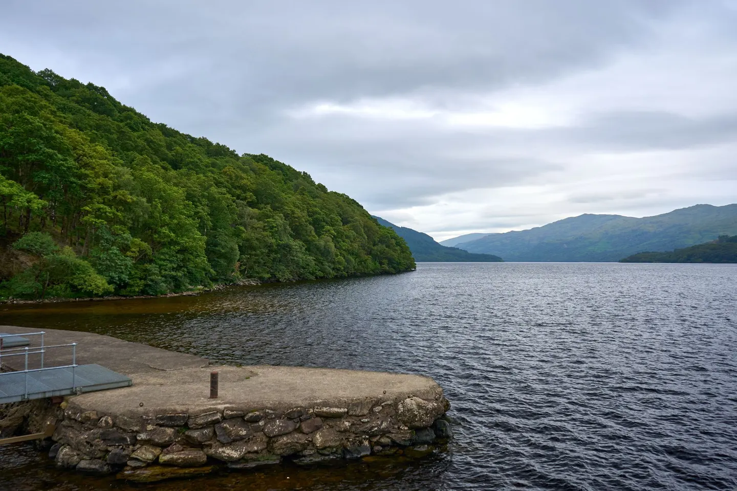
Scotland's first national park, where lowland fields tip into proper Highland country within a short drive of Glasgow
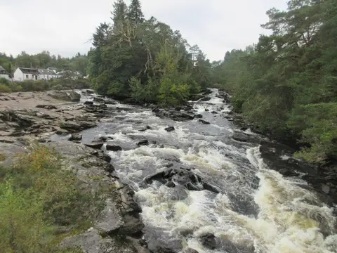
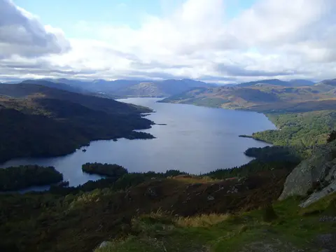
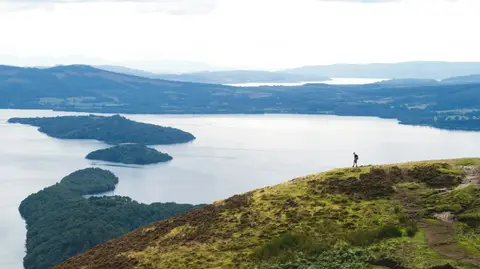
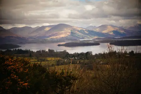
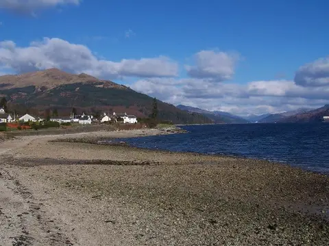
Loch Lomond & The Trossachs became Scotland’s first national park back in 2002, and it still fits its name: a place where the Lowlands stop and the Highlands begin, all inside 1,865 square kilometres that most of central Scotland can reach for an afternoon out. Loch Lomond itself is the big draw, its banks giving way east to the folded, wooded hills of the Trossachs and north into serious mountain country.
There’s a real reason for that change from lowland to highland, and it happens right here, not somewhere abstract on a map. The Highland Boundary Fault, an actual line of weakness in the earth’s crust, runs across Scotland roughly along this route, and the landscape differs on either side: softer farmland to the south, older and harder rock making steeper hills to the north. Worth a moment’s thought next time the view changes suddenly on a drive or a walk — that’s not scenery being fickle, that’s geology.
Ben Lomond, the park’s best-known summit, sits close to that line and tends to be the first big hill anyone in the west of Scotland climbs, a long day out with a view back down the loch. Further north, The Great Trossachs Forest covers a broad stretch of regenerating oak and pine, home to red squirrels and black grouse, and has quieter walking than the loch shore on a busy weekend.
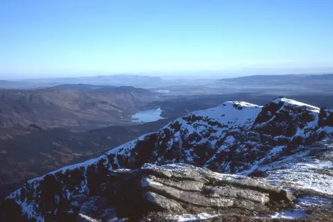
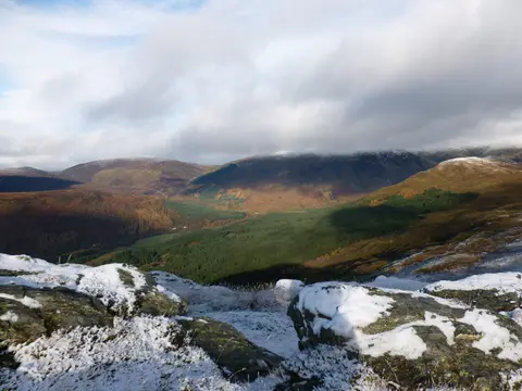
Go outside peak summer weekends if the main roads in put you off, and dress for weather that can turn quickly once you’re up on the tops. This is the edge of the Highlands, and it behaves accordingly — snow settles on the higher ground long before it reaches the water below.