Open accessScotland's right of responsible access applies
Save this place
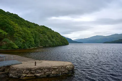
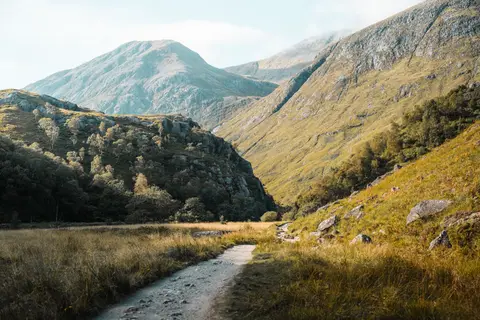
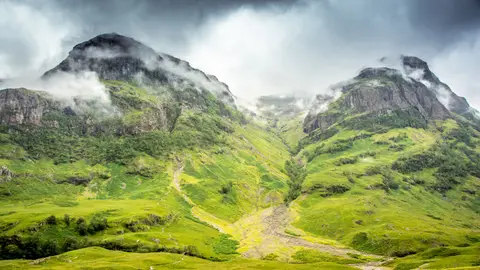
Beinn Chaorach (Stirling) tops out at 818 m in Stirling. It counts among the 222 Corbetts, Scottish hills between 2,500 and 3,000 feet. The surrounding countryside is part of Loch Lomond & The Trossachs National Park.
The closest station is Upper Tyndrum, 3.6 km to the south-west. Other hills nearby include Beinn Odhar, Cam Chreag (Argyll and Bute) and Beinn Challuim.
More at hill-bagging.co.uk