Open accessin a National Nature Reserve open to the public
Save this place
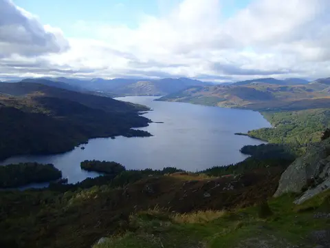
Beinn a' Choin tops out at 769 m in Stirling. It is one of the 222 Corbetts, and a Marilyn besides. It is one of 56 hills the Albion Guide charts in Stirling. The surrounding countryside is part of Loch Lomond & The Trossachs National Park.
The closest station is Ardlui, 4.5 km to the north-west. Meall Mor (Stirling) and Beinn Chabhair are among the hills within 5.1 km.
More at hill-bagging.co.uk