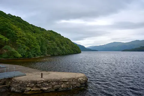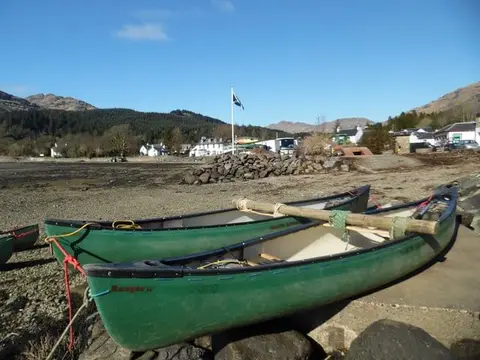
Fifty-seven miles across the Cowal peninsula, from the Loch Fyne shore at Portavadie to the banks of Loch Lomond
Indicative — sampled from open terrain data along the simplified route.
The Loch Lomond & Cowal Way crosses the Cowal peninsula in Argyll, running about 57 miles from Portavadie on Loch Fyne east to Inveruglas on the shore of Loch Lomond. It is one of Scotland’s Great Trails, waymarked throughout and usually walked over five or six days in sections of between five and sixteen miles.
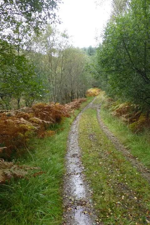
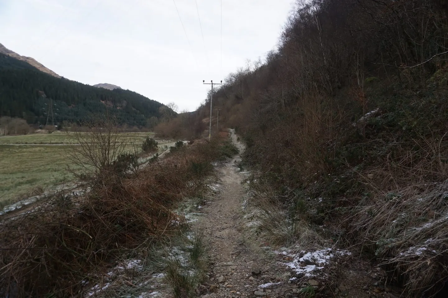
For a route of its length it is quite demanding, with well over 8,000 feet of climbing spread across the crossing. It uses footpaths, forestry tracks, hillsides, quiet roads and old rights of way, threading between sea lochs and freshwater lochs through forest and moor. From Tighnabruaich near the start it works its way through Strachur, over to Lochgoilhead and Arrochar, and finally down to Loch Lomond, entering the Loch Lomond and the Trossachs National Park in its later stages.
Getting to the start is part of the character of the walk: Portavadie is reached by the ferry across Loch Fyne from Tarbert, which sets the tone for a route that keeps returning to the water. At the far end it comes out opposite the West Highland Way, which runs up the eastern side of Loch Lomond, so the two can be joined into a longer journey. Arrochar, near the finish, has a station on the West Highland railway line, giving a practical way to reach or leave the trail by train.
The reward is a quiet, watery corner of the western Highlands that most visitors pass by on their way further north, taken slowly on foot.