Open accessScotland's right of responsible access applies
Save this place
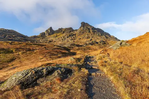
The Brack tops out at 788 m in Argyll and Bute. It is one of the 222 Corbetts — Scottish hills between 2,500 and 3,000 feet. It is one of 162 hills the Albion Guide lists in Argyll and Bute. The surrounding countryside is part of Loch Lomond & The Trossachs National Park.
Nearby hills include Cnoc Coinnich and Ben Donich. The closest station is Arrochar & Tarbet, 6.8 km to the east.
More at hill-bagging.co.uk