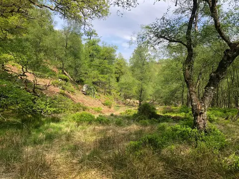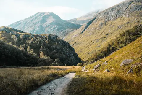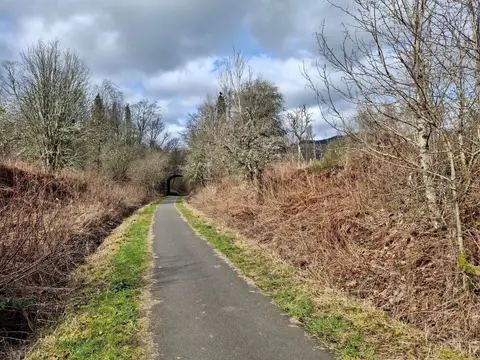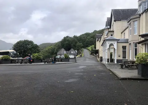
Thirty-four miles from Loch Lomond to the head of Loch Long, past the Gareloch, crossing the Highland line
Indicative — sampled from open terrain data along the simplified route.
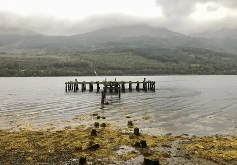
The Three Lochs Way runs 34 miles (55 km) along the western side of the Loch Lomond and the Trossachs National Park, from Balloch at the foot of Loch Lomond to Inveruglas near the head of Loch Long. The three lochs of the name are Loch Lomond, the Gareloch and Loch Long, each in view at some point along the way. It is usually walked south to north over three or four days and seldom climbs above 250 metres, so it makes an unhurried introduction to the area.
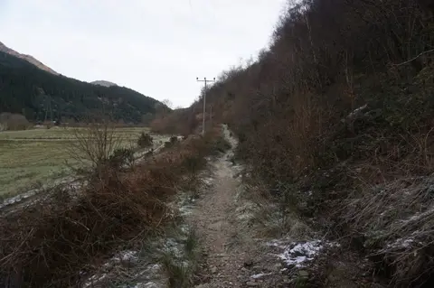
From Balloch the route crosses to Helensburgh on the Firth of Clyde, then climbs over the hills through Glen Fruin and above the Gareloch to Garelochhead, before dropping to the shore of Loch Long. It finishes among the higher ground around Arrochar and Tarbet, where the Lowland farmland has given way to Highland hills. The path crosses the Highland Boundary Fault on the way, the geological line that separates the two.
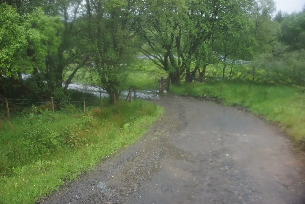
Underfoot it is a mix of minor road, forest track and open hillside, waymarked throughout. The stretch above the Gareloch is the most exposed; elsewhere it is straightforward.
It is one of the better-served long walks for public transport, which makes it easy to break into day sections. There are stations at Balloch, Helensburgh, Garelochhead and Arrochar & Tarbet, all on lines from Glasgow. The route was conceived in 1991 by Alan Day of the Helensburgh and District Access Trust, and promoted as a through-route from 2010, linking rights of way that already ran along the lochs.