Open accessScotland's right of responsible access applies
Save this place
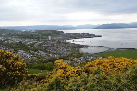
The Fruin rises to 361 m (1,184 ft) in Argyll and Bute. It is listed among the 1,546 Marilyns — British hills with at least 150 m of drop on every side. It is one of 162 hills the Albion Guide maps in Argyll and Bute. It stands within Loch Lomond & The Trossachs National Park.
The nearest railway station is Helensburgh Upper, 4.5 km to the south-east. For more of the same, Beinn Chaorach (Argyll and Bute) and Beinn a' Mhanaich are close by.
More at hill-bagging.co.uk