Open accessScotland's right of responsible access applies
Save this place
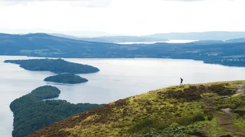
Beinn a' Mhanaich rises to 709 m (2,326 ft) in Argyll and Bute. It counts among the 231 Grahams, Scottish hills between 2,000 and 2,499 feet. It is one of 162 hills the Albion Guide maps in Argyll and Bute. It stands within Loch Lomond & The Trossachs National Park.
Nearby hills include Cruach an t-Sidhein and Beinn Chaorach (Argyll and Bute). For arrivals by rail, Garelochhead Station is 4.4 km to the south-west.
More at hill-bagging.co.uk