Britain's largest lake by surface area, its wide island-strewn south narrowing to a deep Highland finger under Ben Lomond
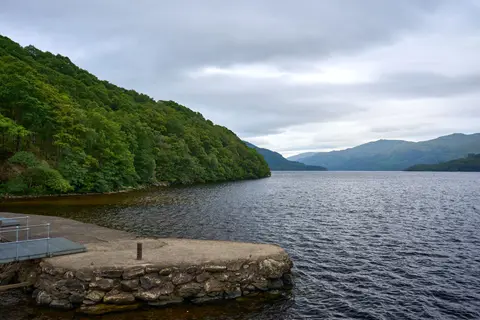
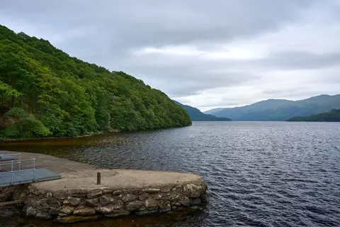
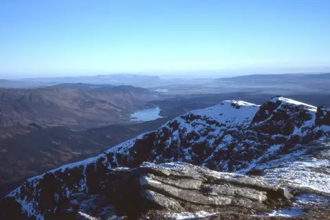
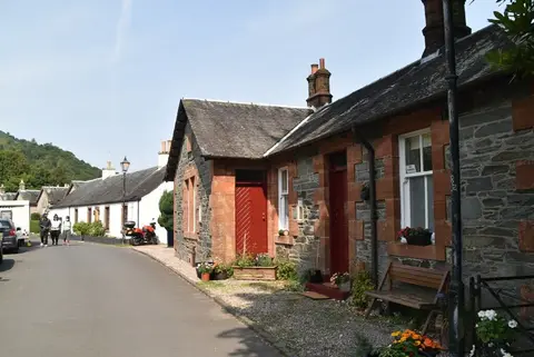
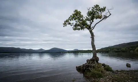
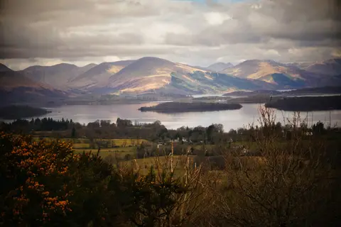
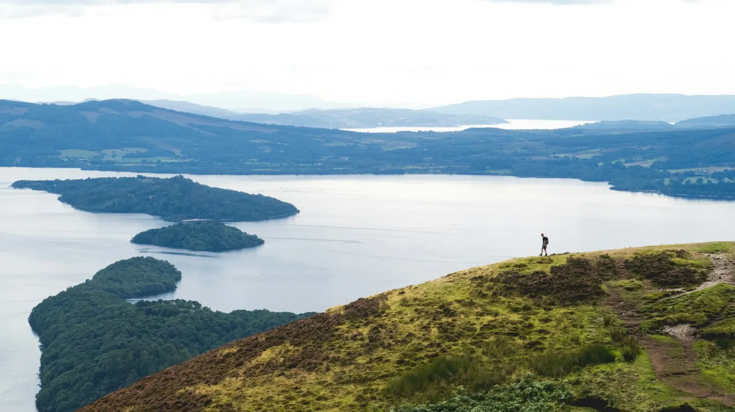
Loch Lomond holds more water surface than any other lake in Britain, and its two halves feel like different places. The southern end is broad and shallow, dotted with wooded islands; the northern end narrows into a deep trough between steep hills, where the Highlands proper begin. That divide is real geology — the Highland Boundary Fault crosses the loch, and several of the islands line up along it. On the east shore Ben Lomond, the most southerly Munro (a Scottish hill over 3,000 feet), rises straight from the water, with the West Highland Way threading the lochside below it. All of this sits inside Loch Lomond & The Trossachs, Scotland’s first national park. The conservation village of Luss on the west shore is the busy honeypot, with a beach and old cottages; quieter Rowardennan opposite is the usual start for climbing Ben Lomond. Cruise boats, sailing dinghies and paddleboards all share the water in summer, and the “bonnie banks” of the old song, whose singer takes the low road home, are these.