Thirty miles through the heart of the Trossachs, from Callander to Loch Lomond along a chain of lochs
Indicative — sampled from open terrain data along the simplified route.
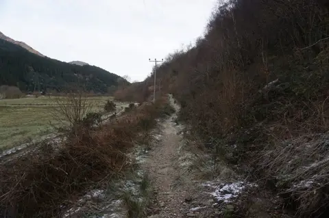
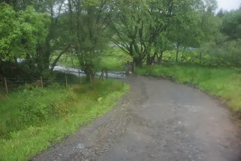
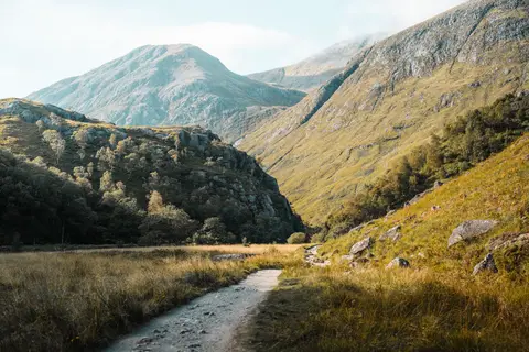
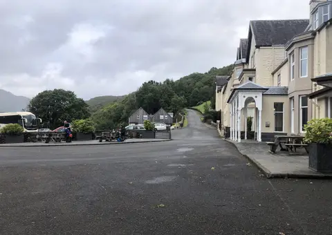
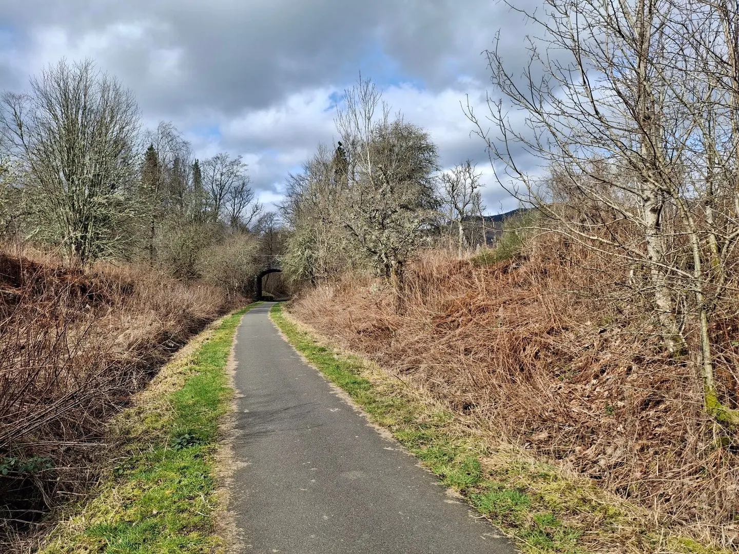
The Great Trossachs Path runs 30 miles (48 km) west from Callander to Inversnaid on the eastern shore of Loch Lomond, keeping to low ground for almost its whole length. It threads a chain of lochs — Venachar, Achray, Katrine and Arklet — on forest track and firm path, with few steep sections and clear waymarking. It is open to cyclists and horse riders as well as walkers, and most people take two or three days on foot, or a single long day by bike. All of it lies within Loch Lomond and the Trossachs National Park.
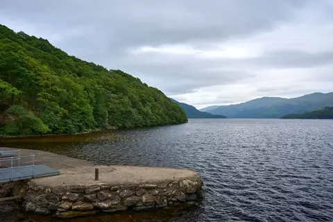
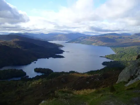
The middle section, along Loch Katrine, is the scenic core. The Victorian steamer Sir Walter Scott still works the loch in season, which gives a way to shorten the walk or join it partway, and Loch Katrine has supplied Glasgow’s drinking water since 1859. The path passes the small settlements of Brig o’ Turk and Stronachlachar, but no railway comes near it, so the ends are reached by road or bus.
The route is the spine of the Great Trossachs Forest, a long-term project to restore native woodland across the ground between Loch Katrine and Loch Lomond, run as a partnership and now a National Nature Reserve. Walking it, you pass through country at an early stage of that recovery — new planting alongside older oak and birch.
It also joins up the region’s other long routes. At Callander it meets the Rob Roy Way; at Inversnaid it reaches the West Highland Way on the loch shore; and it connects at its western end towards the Three Lochs Way, so it can be walked as part of a longer through-journey.