Around eighty miles through the southern Highlands, Drymen to Pitlochry, in the country Rob Roy MacGregor knew
The Rob Roy Way runs 128 km — about 80 miles — from Drymen north to Pitlochry, crossing the southern edge of the Highlands. Most walkers take six to eight days; cyclists rather less, because much of the route is on forest track, old railway trackbed and cycleway, with stretches of moorland path between. A wilder alternative line by way of Amulree lengthens the main route to around 155 km.
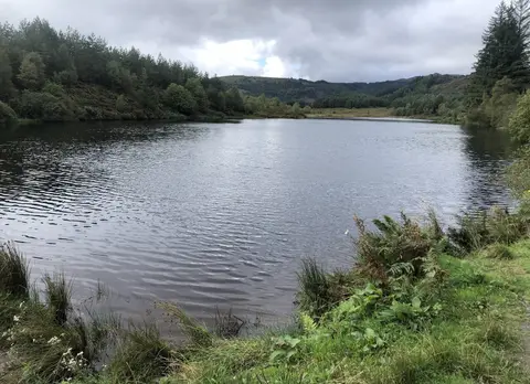
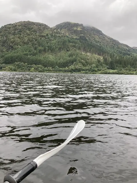
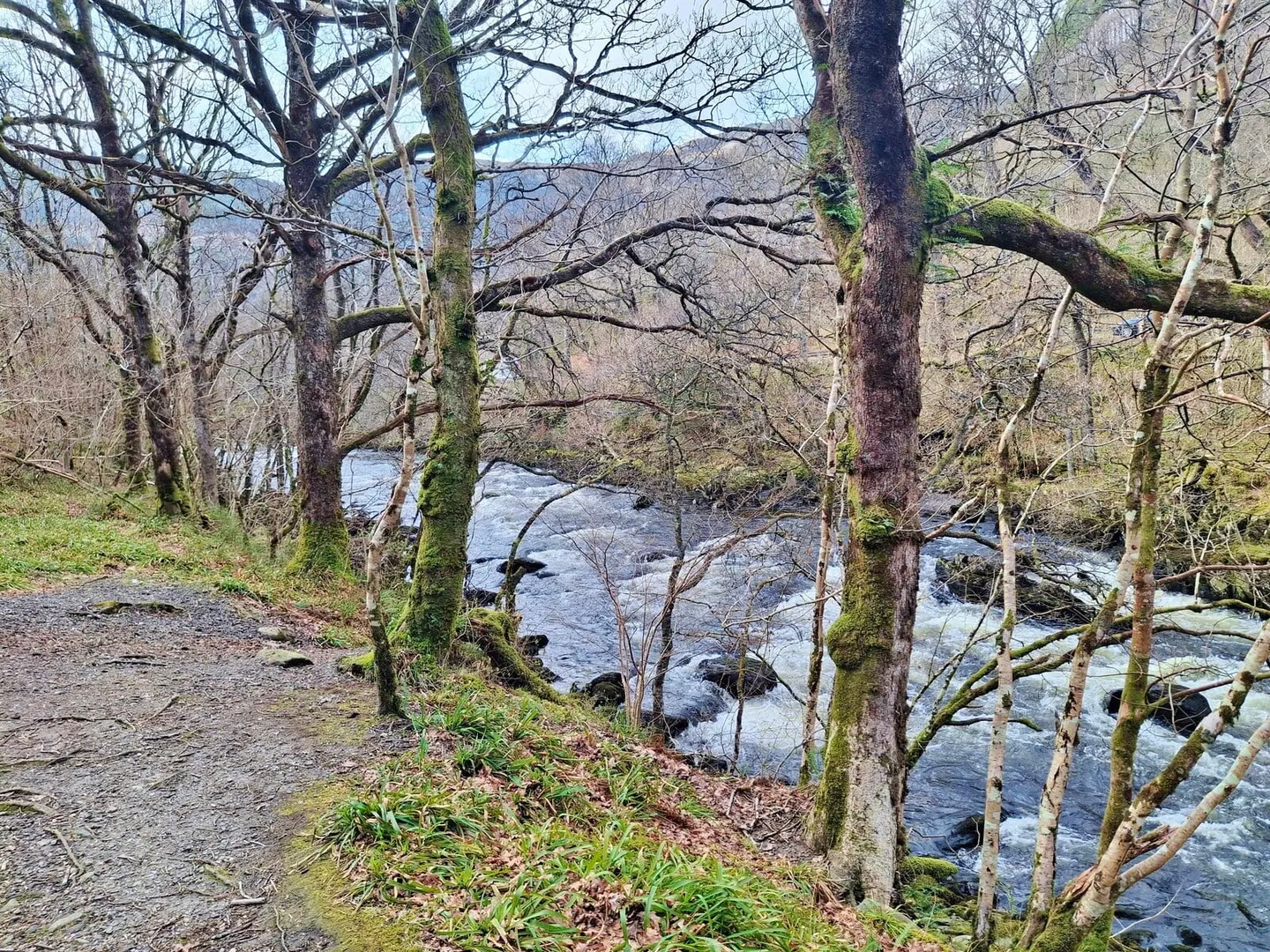
From Drymen the way climbs through the forests of The Trossachs to Callander, then follows the trackbed of the old Callander and Oban railway up Strathyre past Strathyre and Balquhidder, where Rob Roy is buried. It continues to Killin at the head of Loch Tay, runs along the loch’s quiet southern shore, and drops to Aberfeldy before a final crossing of the moors into Pitlochry. The walking is mostly moderate, though the higher, more open sections can feel remote in poor weather.
The route is named after Rob Roy MacGregor (1671–1734), a cattle dealer and drover from this country who turned outlaw after falling into debt, and whose raids and feuds in these glens made him a folk hero long before Walter Scott’s novel fixed the legend. The path passes close to the places tied to his life and his clan.
For access, Pitlochry sits on the Highland main line between Perth and Inverness, so the northern end is easy to reach by train. Drymen has no station but is served by bus from Glasgow and lies near Milngavie, the start of the West Highland Way, which makes it simple to link the two.