West Island Way
Thirty miles the length of the Isle of Bute, from Kilchattan Bay to Port Bannatyne, the first waymarked route on a Scottish island
Indicative — sampled from open terrain data along the simplified route.
The West Island Way runs the length of the Isle of Bute, 30 miles (48 km) from Kilchattan Bay at the southern tip to Port Bannatyne in the north. It was the first waymarked long-distance route on a Scottish island, opened in September 2000 for Bute’s millennium celebrations. The walking is easy, and the trail divides into four natural stages around the midpoint at Rothesay, so it can be done in two long days or four short ones.
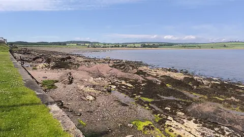
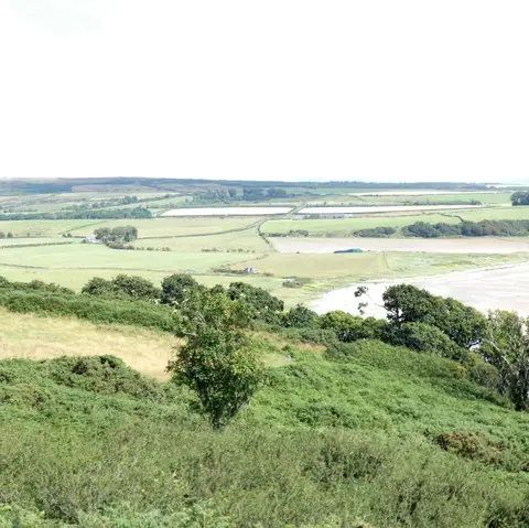
The path takes in a good deal of variety for its length: seashore, moorland, farmland and forest. The southern loop from Kilchattan Bay visits St Blane’s, the ruins of a medieval church and monastery on an early Christian site, before the route turns north across the higher moorland in the middle of the island and down to the coast again. Bute is low and green rather than mountainous, and the going is gentle for most of the way.
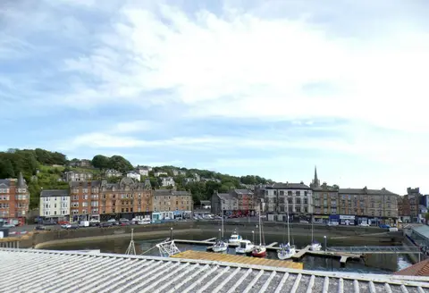
Rothesay, the island’s only town, sits at the centre of the route and has shops, accommodation and the ruins of Rothesay Castle, which makes it the obvious base or a natural place to break the walk.
Getting there is part of the appeal. The ferry from Wemyss Bay to Rothesay connects with trains from Glasgow, so the island can be reached without a car, and buses link Rothesay to both ends of the trail at Kilchattan Bay and Rhubodach. The route was assembled from existing island paths and quiet roads to give walkers a single through-line from end to end.