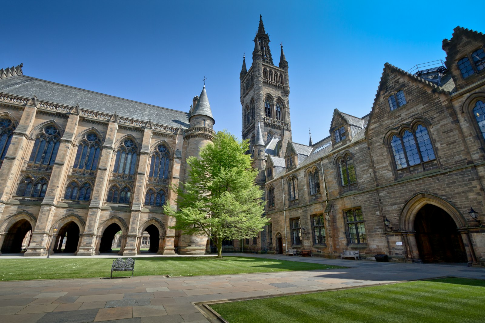
Photo Michael D Beckwith / Unsplash
Places to explore in and near Glasgow
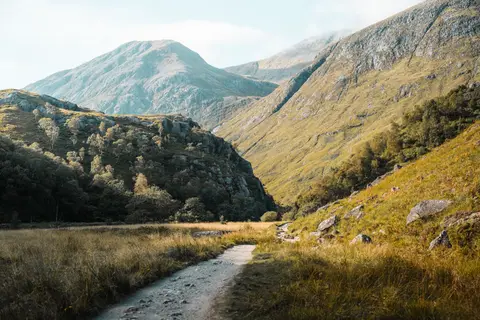
Scotland's largest city grew rich on the Clyde — tobacco and cotton first, then the shipyards that made 'Clyde-built' a byword for quality — and its Victorian grid of red and blond sandstone still carries that confidence. The green hills press close. The volcanic Campsie Fells rise just north above Campsie Glen and Mugdock Country Park, and within an hour lie Loch Lomond, the wooded braes of the Trossachs and Ben Lomond, the most southerly Munro. The West Highland Way sets off from the northern suburbs toward the mountains.
28 places sit inside Glasgow itself. Beyond the city, 58 places within 25 km — the standouts first, nearest first within each group. 1 is a national icon.
In Glasgow itselfinside the city boundary, nearest first
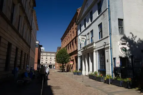
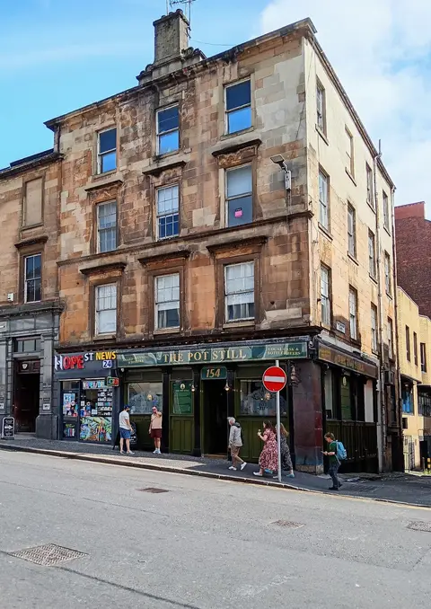
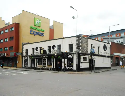
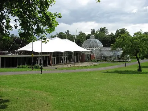
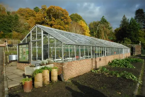
Everything else in Glasgow (8) — reserves, earthworks & places to check before travelling
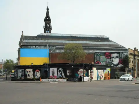
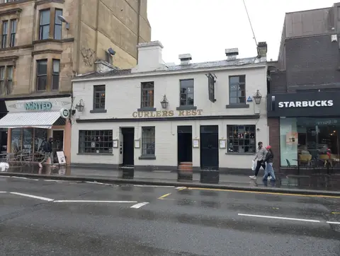
- Rab Ha'sPub0.2 km SE
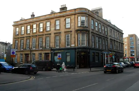
- The Horse Shoe BarPub0.9 km S
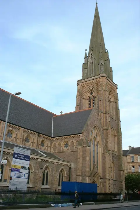
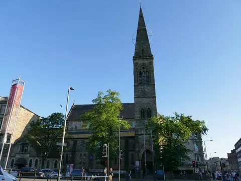
- St Vincent Street ChurchChurch1.1 km W
- The DrakePub1.7 km NW
- The Arlington BarPub1.8 km NW
- Battle of LangsideBattlefield4.1 km S
- Cathcart CastleCastle5.4 km S
- Cathkin BraesCounty top7.3 km S
Worth the tripnational icons and local highlights within reach
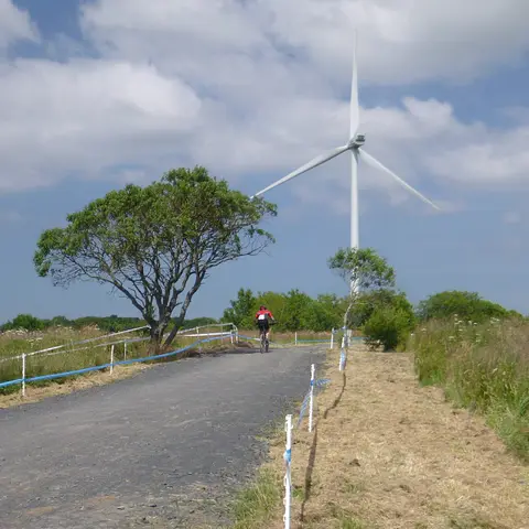
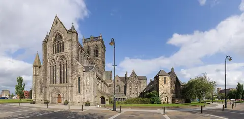
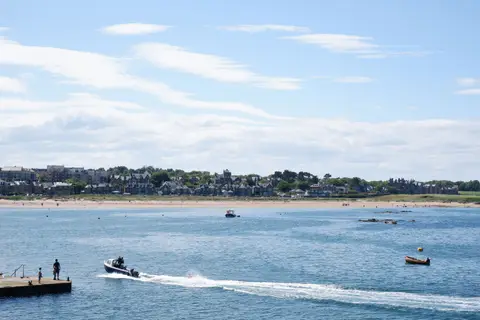
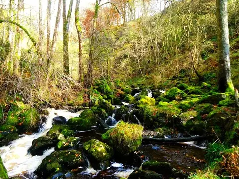
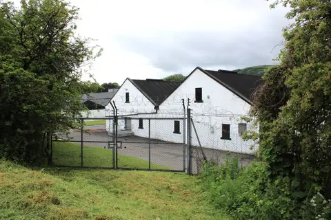
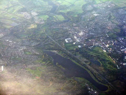
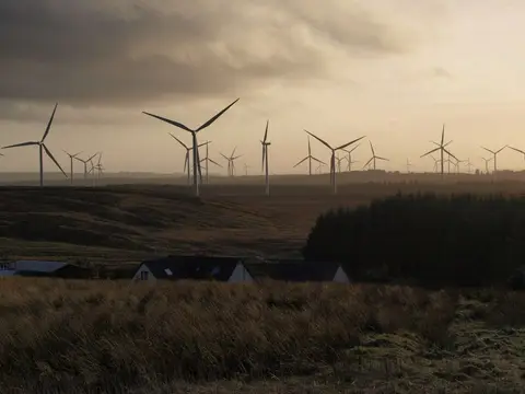
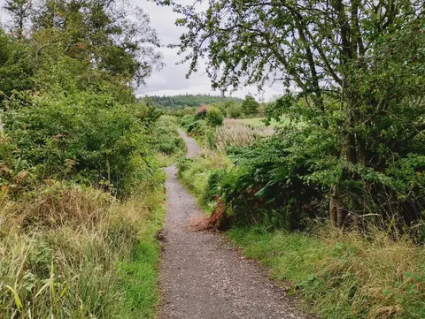
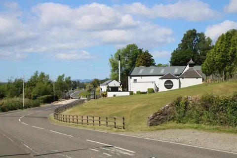
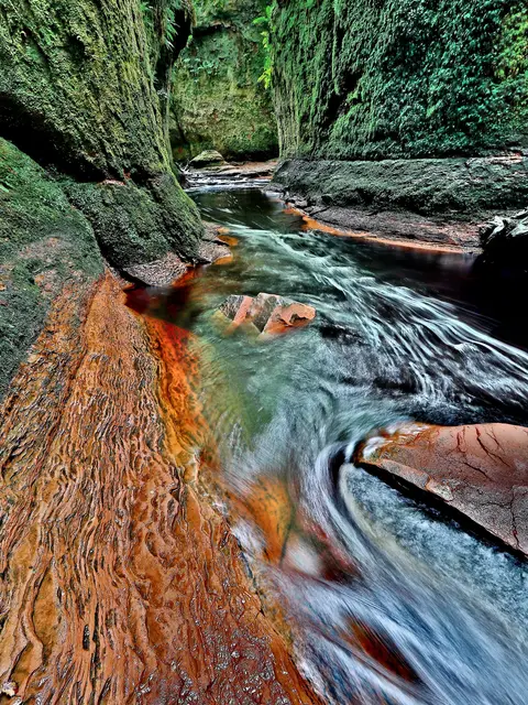
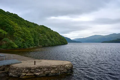
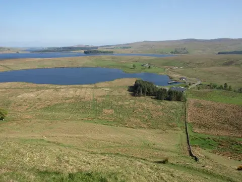
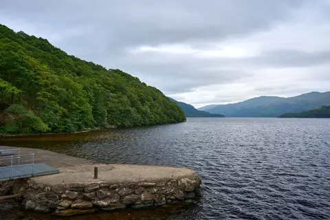
Also nearbygood places nearby, nearest first
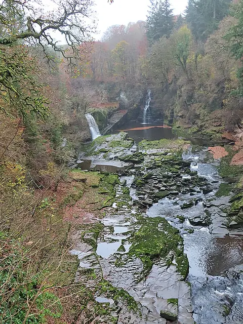
Everything else within 25 km (36) — reserves, earthworks & places to check before travelling
- Thorntonhall Farmhouse Ice CreamFarm & farm shop10.2 km S
- St Mirin's CathedralChurch10.5 km W
- Bothwell CastleCastle11.2 km SE
- Antonine Wall, HillheadFrontier wall11.9 km NE
- Calderglen Country ParkGarden13 km SE
- Stanely CastleCastle13.4 km W
- EagleshamVillage13.5 km S
- Antonine Wall, Bar HillFrontier wall15.8 km NE
- DuncolmMarilyn17.1 km NW
- Antonine Wall, Croy HillFrontier wall17.7 km NE
- Gilbertfield CastleCastle9 km SE
- Antonine Wall (East Dunbartonshire)Roman archaeological site10 km NW
- Antonine WallCastle10.4 km NE
- Blantyre PrioryPriory11.1 km SE
- Antonine Wall, CleddansFrontier wall11.4 km NE
- Mugdock Castle, MilngavieCastle12.5 km N
- Bothwell Parish Church (St Bride's)Church12.6 km SE
- Woodhead HouseCastle13.1 km N
- Antonine Wall, Beeches Avenue, DuntocherFrontier wall13.1 km NW
- BothwellVillage13.1 km SE
- Hot Tottie, DumbrockSauna13.5 km N
- Eaglesham Parish ChurchChurch13.6 km S
- Mollins Roman fortRoman archaeological site13.7 km NE
- Polnoon CastleCastle14.1 km S
- Battle of Bothwell BridgeBattlefield14.2 km SE
- Antonine Wall, TwecharFrontier wall14.4 km NE
- Eastwood Forest SaunaSauna14.8 km SW
- Bar Hill, Roman temporary camp SW ofFrontier wall15.4 km NE
- Bothwellhaugh, Roman bath houseRoman baths15.6 km SE
- Orbiston HouseCastle15.7 km SE
- Bothwellhaugh, Roman fortRoman archaeological site15.7 km SE
- BYRE Sauna, Bowling HarbourSauna16.3 km NW
- Cort-ma Law East TopCounty top16.6 km N
- Antonine Wall, CroyFrontier wall16.7 km NE
- Antonine Wall, Cuilmuir View, CroyFrontier wall17 km NE
- Clyde Valley WoodlandsNational Nature Reserve17.2 km SE
Ordered by how far each place is worth travelling for, then by distance. Distances are straight-line to the nearest edge of each place — paths wind, of course.