Clyde Walkway
Forty miles up the River Clyde from central Glasgow to New Lanark and the Falls of Clyde
Indicative — sampled from open terrain data along the simplified route.
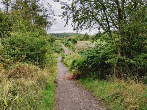
The Clyde Walkway follows the River Clyde for about 65 kilometres, or 40 miles, from Glasgow upstream to the mill village of New Lanark. It is one of Scotland’s Great Trails and is usually walked in three days. The route is low-level and easy throughout, running on surfaced riverside path, cycleway, woodland track and quiet lane, and it changes character completely along the way — from city quaysides at the start to a wooded gorge at the finish.
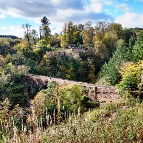
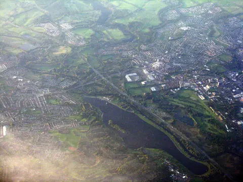
From the centre of Glasgow the walkway heads out along the river through Cambuslang and Uddingston, passing the ruins of Bothwell Castle above the water, then reaches Strathclyde Country Park with its loch. Beyond Motherwell the surroundings turn rural: the path threads the Clyde Valley, known for its orchards and garden nurseries, through the villages of the middle river to Lanark.
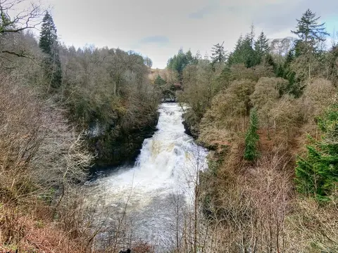
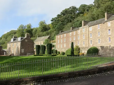
The finish is the best of it. Above the World Heritage village of New Lanark, built around Robert Owen’s cotton mills, the river drops through a wooded gorge in the series of waterfalls known as the Falls of Clyde, of which Corra Linn is the largest. The gorge is a wildlife reserve where peregrines nest, and the walkway ends among the falls.
Both ends are easy to reach by train — Glasgow’s stations at the start, and Lanark, a short walk from New Lanark, at the finish — so the walk suits being done in sections or in a single direction without a car. Bothwell and the other Clyde Valley villages are also served by bus from Glasgow.