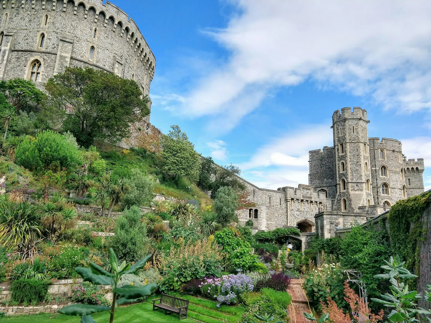
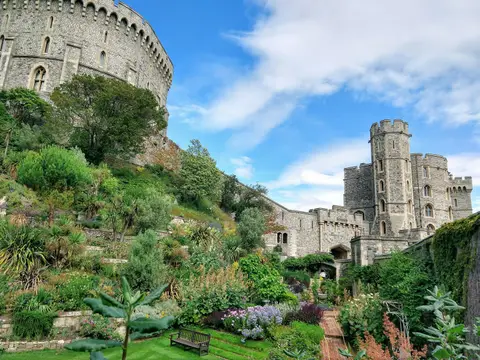
Windsor CastlePhoto Zaymuel / Unsplash
Places to explore near Watford
On the River Colne at the southern foot of the Chilterns, Watford spread as a market and printing town along the old road out of London. The Grand Union Canal threads the valley through the town, good for a towpath walk. The chalk hills climb north-west into the Chilterns proper — the woods and commons of the Ashridge Estate, the open turf of Ivinghoe Beacon, and the reservoirs and parkland at Tring drawing walkers and birdwatchers.
121 places within 25 km — the standouts first, nearest first within each group. 8 are national icons.
Worth the tripnational icons and local highlights within reach
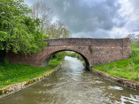
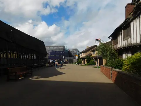

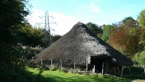


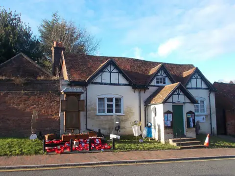
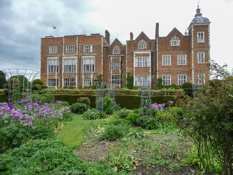
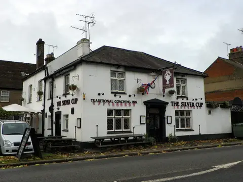
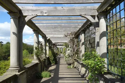
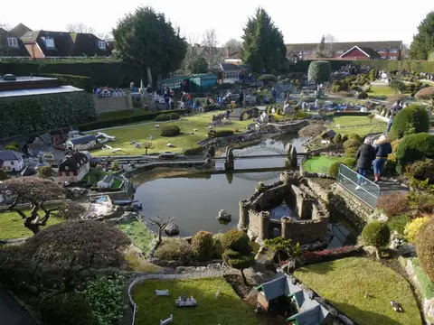
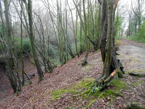
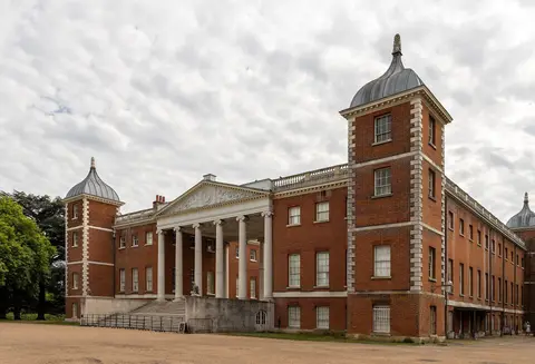
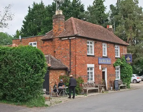
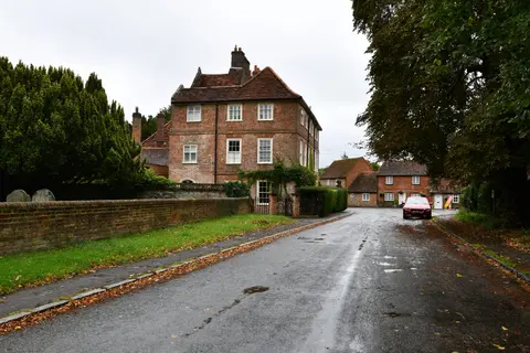
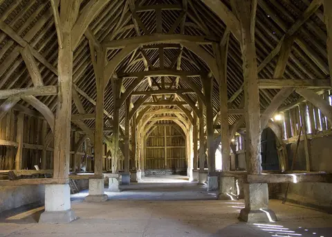
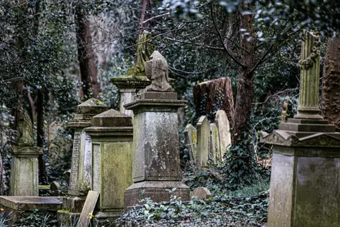
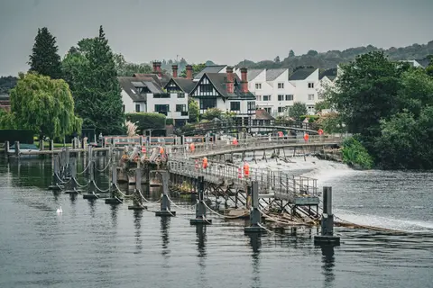

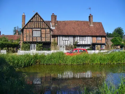
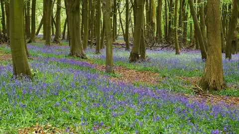
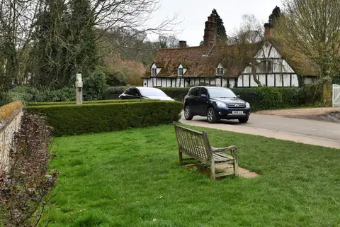
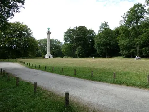
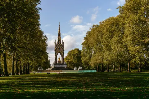
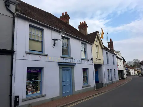
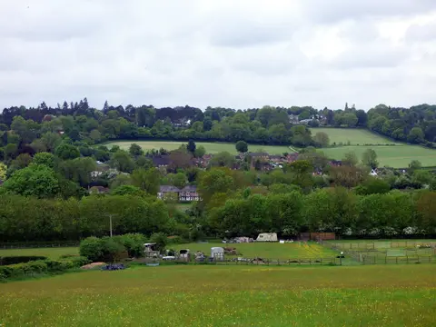
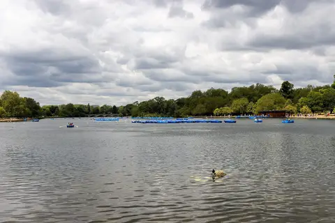
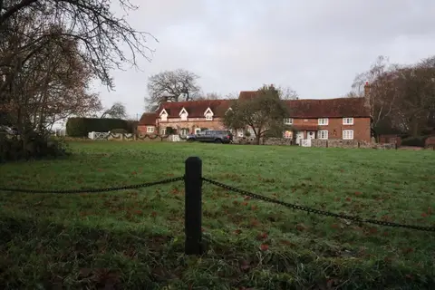
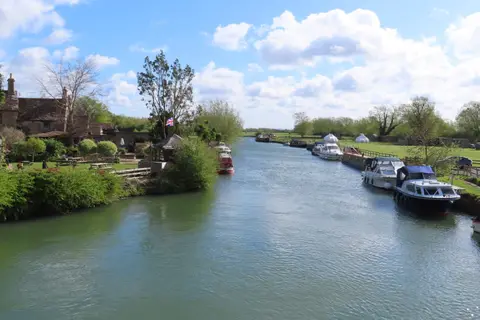

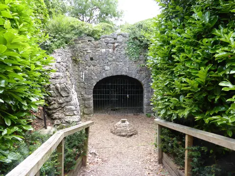

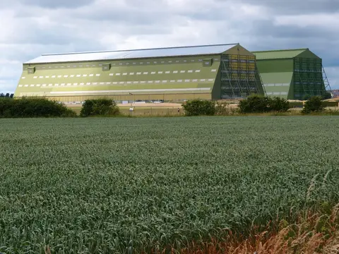
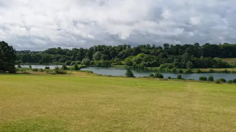
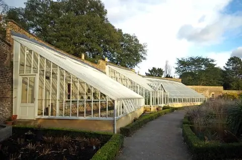
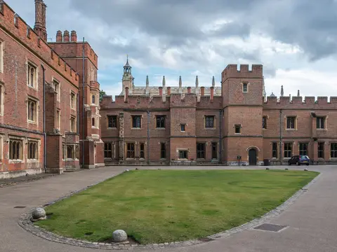
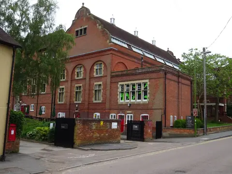
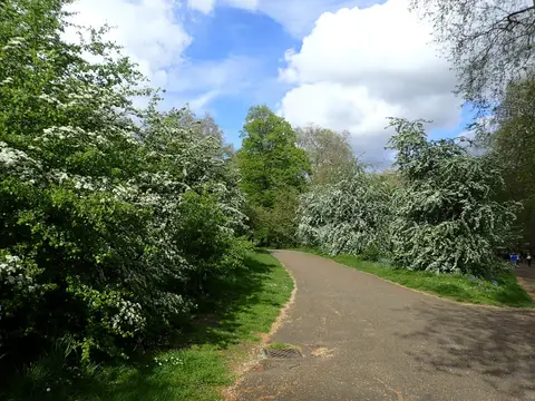
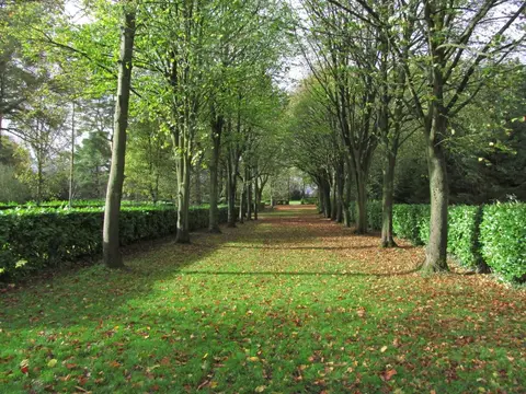

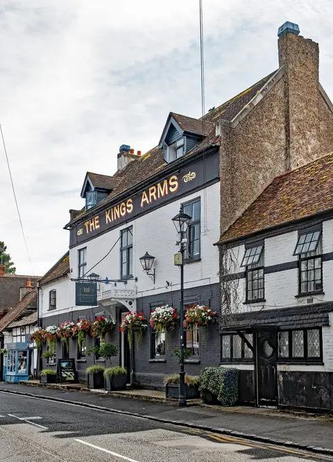
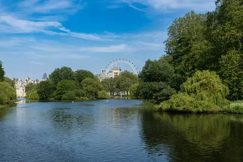

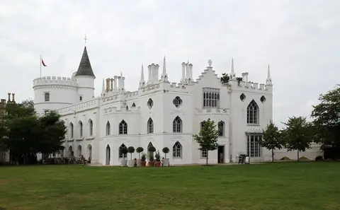
Also nearbygood places nearby, nearest first
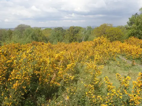
Everything else within 25 km (62) — reserves, earthworks & places to check before travelling
- Verulamium wall and ditchRoman town10.4 km N
- The Bricklayers ArmsPub10.8 km NW
- Ye Olde Fighting CocksPub10.8 km N
- Three Brewers of St AlbansAttraction11 km N
- Old Gorhambury HouseHouse11.1 km N
- Roughdown CommonSSSI11.2 km NW
- Fryent Country ParkCountry park11.3 km SE
- Denham Country ParkCountry park11.9 km SW
- Milton's CottageHouse & gardenaccess unclear13 km W
- Minet Country ParkCountry park14.4 km S
- Mad Squirrel BreweryBrewery14.8 km NW
- Black ParkCountry park15.3 km SW
- ArtichokeRestaurant15.6 km W
- Morven ParkCountry estate15.8 km E
- East Finchley CemeteryHouse & garden16 km SE
- Lake Farm Country ParkCountry park16 km S
- Stockley Country ParkCountry park16 km S
- Golders Green CrematoriumHouse & garden16.3 km SE
- Trent ParkCountry park16.3 km E
- Alford ArmsPub16.5 km NW
- BerkhamstedVillage16.5 km NW
- St Pancras and Islington CemeteryHouse & garden16.7 km E
- Croxley Common MoorSSSI3.1 km SW
- Whippendell WoodSSSIaccess unclear3.5 km W
- Bricket Wood CommonSSSI4.2 km N
- Bushey HeathCounty topaccess unclear4.4 km SE
- Harrow WealdSSSI4.7 km SE
- Bentley PriorySSSIaccess unclear5 km SE
- Moor ParkHouse & gardenaccess unclear5.1 km SW
- Westwood QuarrySSSIaccess unclear5.2 km NW
- Ruislip WoodsNational Nature Reserve6.6 km SW
- Moor Mill Quarry, WestSSSIaccess unclear6.8 km NE
- Dominican PrioryPrioryaccess unclear8 km NW
- Old Park WoodSSSIaccess unclear8.3 km SW
- Sarratt BottomSSSIaccess unclear8.5 km W
- Ruislip motteEarthworks of a former castleaccess unclear9 km S
- Harefield PitSSSIaccess unclear9.1 km SW
- Mid Colne ValleySSSI9.1 km SW
- Frogmore MeadowsSSSIaccess unclear9.5 km W
- Chenies Place (Woodside)House & gardenaccess unclear10.1 km W
- Sopwell House or Lee HallPrioryaccess unclear10.5 km N
- Abbey Gateway, St AlbansAbbeyaccess unclear11 km N
- Redwell WoodSSSIaccess unclear11.2 km NE
- SwakeleysHouse & garden11.4 km S
- Fray's Farm MeadowsSSSIaccess unclear11.4 km SW
- Denham Lock WoodSSSIaccess unclear11.5 km SW
- Boxmoor House Roman villaRoman archaeological siteaccess unclear12 km NW
- Old Rectory MeadowsSSSIaccess unclear12.1 km SW
- Castle Lime Works QuarrySSSIaccess unclear12.9 km NE
- South Mimms motteEarthworks of a former castleaccess unclear13 km NE
- Brent ReservoirSSSIaccess unclear13 km SE
- Battle of BarnetBattlefield13.3 km E
- Water End Swallow HolesSSSIaccess unclear13.7 km NE
- Gadebridge Roman villaRoman archaeological siteaccess unclear13.8 km NW
- Froghall BrickworksSSSIaccess unclear13.9 km W
- Kingcup Meadows and Oldhouse WoodSSSIaccess unclear13.9 km SW
- Hodgemoor WoodSSSIaccess unclear14.1 km W
- Bulstrode ParkHouse & gardenaccess unclear15.1 km SW
- Little Heath PitSSSI15.2 km NW
- RedbournVillage15.9 km N
- Stoke CommonSSSI16.2 km SW
- The Old Queens HeadPub16.5 km W
Ordered by how far each place is worth travelling for, then by distance. Distances are straight-line to the nearest edge of each place — paths wind, of course.