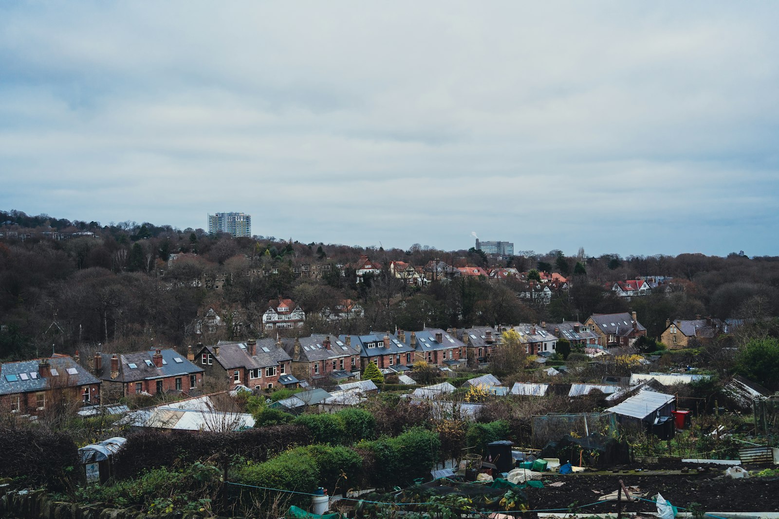
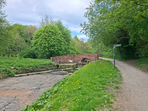
Photo BEN ELLIOTT / Unsplash
Places to explore near Sheffield
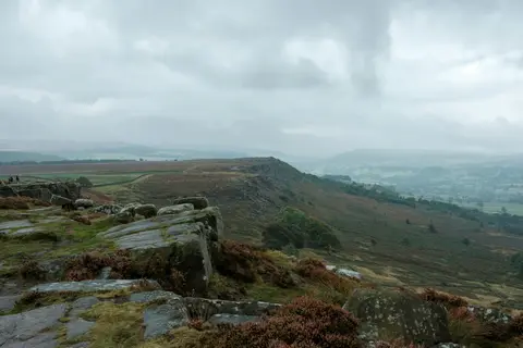
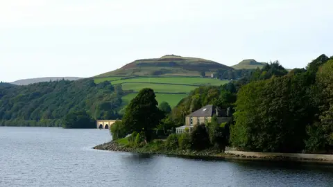
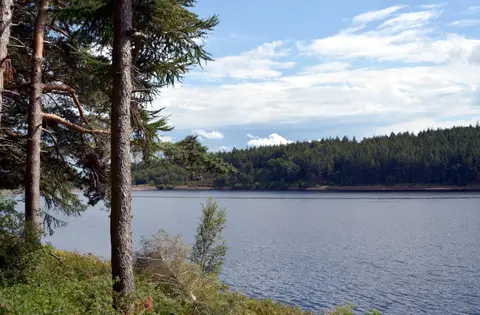
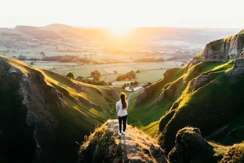
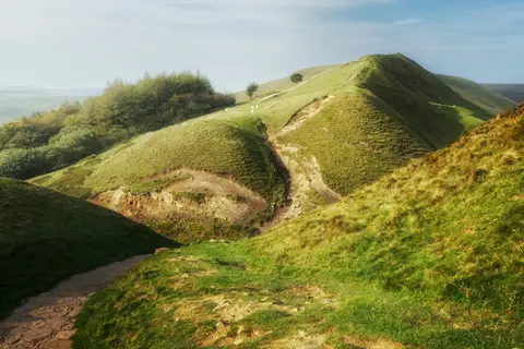
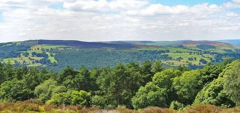
Steel built Sheffield, spread across seven hills where five rivers meet, and no English city sits closer to a national park. The gritstone edges of the Peak District begin almost at the tram's end — Stanage Edge and Froggatt Edge draw climbers by the hundred, Burbage Moor and Longshaw offer moorland walking, and Ladybower Reservoir fills the Derwent valley to the west. Beyond rises Kinder Scout, the high peat plateau where the 1932 mass trespass won the right to roam.
112 places within 25 km — the standouts first, nearest first within each group. 13 are national icons.
Worth the tripnational icons and local highlights within reach

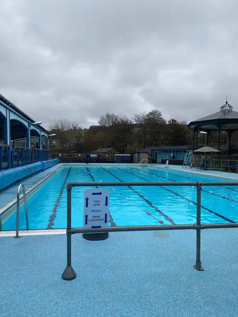
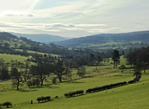
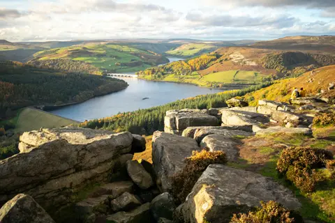
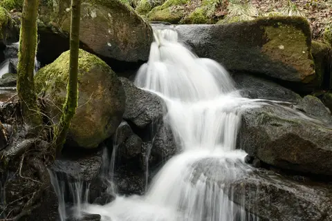
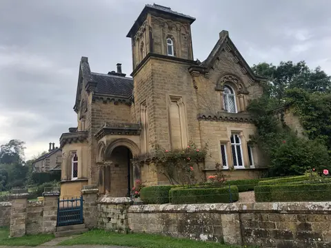
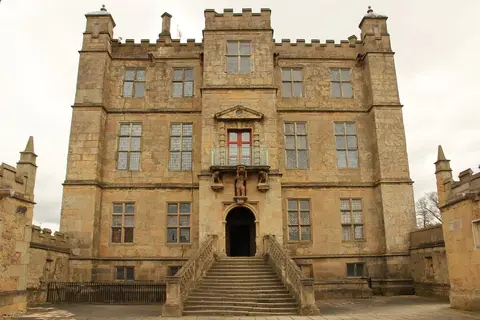
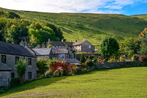
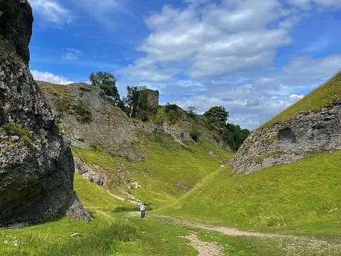
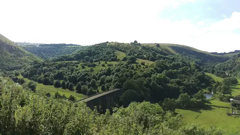
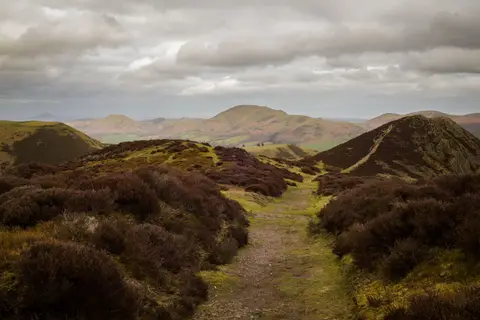
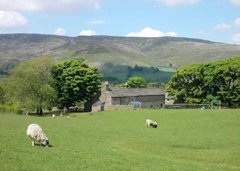
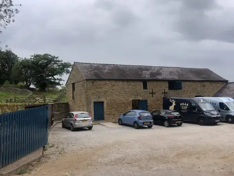
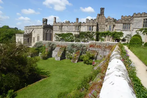
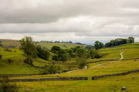
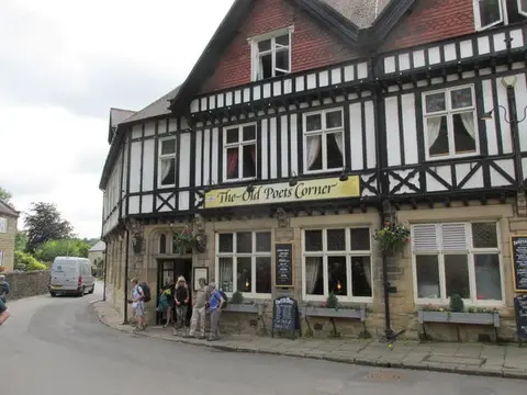
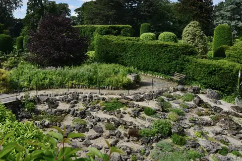
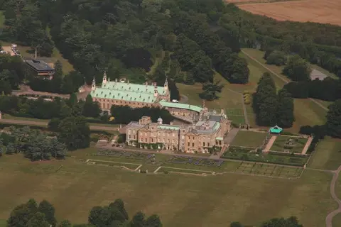
Also nearbygood places nearby, nearest first
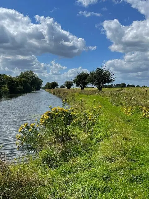
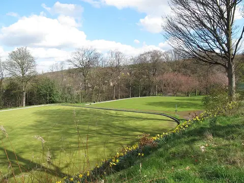
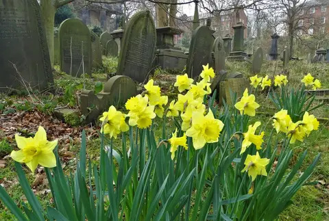
Everything else within 25 km (58) — reserves, earthworks & places to check before travelling
- Holy Trinity Old Church, WentworthChurch11.4 km N
- Renishaw Hall VineyardVineyard12.1 km SE
- Burbage MoorCountry estate12.4 km SW
- Curbar GapCountry estate12.7 km SW
- OutseatsCountry estate13 km W
- The Scotsman's Pack Country InnPub13.1 km SW
- Derwent Valley Heritage WayLong-distance path13.4 km SW
- Holme Brook Country ParkCountry park14 km S
- Thrybergh Country ParkCountry park14.6 km NE
- The Anglers RestPub14.9 km W
- Worsbrough Mill Country ParkCountry park15.3 km N
- Yorkshire Bridge InnPub15.3 km W
- Poolsbrook Country ParkCountry park15.5 km SE
- Queen's ParkHouse & garden16.6 km S
- Derwent and Howden MoorsCountry estate16.9 km W
- Miners' ArmsPub17.1 km SW
- Stoney MiddletonVillage17.2 km SW
- Neepsend BrickworksSSSI1.6 km N
- Neepsend Railway CuttingSSSIaccess unclear1.9 km NW
- Wincobank hillfortHillfortaccess unclear4.4 km NE
- Stannington RuffsSSSIaccess unclear4.9 km NW
- Wadsley Fossil ForestSSSIaccess unclear5.3 km NW
- Moss Valley MeadowsSSSIaccess unclear5.7 km SE
- Totley WoodSSSIaccess unclear5.9 km SW
- Moss Valley WoodsSSSIaccess unclear7.1 km S
- Eastern Peak District MoorsSSSI7.5 km SW
- Kimberworth motteEarthworks of a former castleaccess unclear8.1 km NE
- Bradgate BrickworksSSSIaccess unclear8.5 km NE
- Moss ValleySSSIaccess unclear8.6 km SE
- Castle Hill motte, High BradfieldCastleaccess unclear9.6 km NW
- Castle Hill motte (Derbyshire)Castleaccess unclear10.2 km S
- Bailey Hill motteEarthworks of a former castleaccess unclear10.3 km NW
- Carl Wark hillfortHillfort11 km SW
- Wharncliffe CragsSSSI11 km NW
- Canyards HillsSSSI11.9 km NW
- Yarncliff Wood, PadleySSSI12 km SW
- Cairnfield and embanked stone circleStone circle12.1 km SW
- Stanage Edge Roman roadRoman archaeological site12.1 km W
- Dark PeakSSSI12.1 km NW
- Camp Green ringworkEarthworks of a former castleaccess unclear13 km SW
- WortleyVillage13.1 km N
- GrindlefordVillage13.3 km SW
- Hordron Edge stone circleStone circle13.8 km W
- Dearne Valley WetlandsSSSI13.9 km N
- River Derwent at HathersageSSSIaccess unclear14.1 km SW
- Wet WithensStone circle15.2 km SW
- Abney & Bretton CloughsSSSI15.3 km SW
- BamfordVillage15.3 km W
- Tapton CastleCastleaccess unclear15.6 km S
- Fir Hill - Harthill FieldCounty topaccess unclear16 km SE
- Crabtree WoodSSSIaccess unclear16 km SE
- Castle Hill motte (South Yorkshire)Castleaccess unclear16.3 km E
- Hallam Barn GrasslandsSSSIaccess unclear16.7 km W
- Cherry Tree InnPub16.8 km N
- Coombs DaleSSSI17.1 km SW
- Stoney Middleton DaleSSSI17.2 km SW
- The Barrel InnPub17.2 km SW
- Jumble CoppiceSSSIaccess unclear17.3 km SW
Ordered by how far each place is worth travelling for, then by distance. Distances are straight-line to the nearest edge of each place — paths wind, of course.