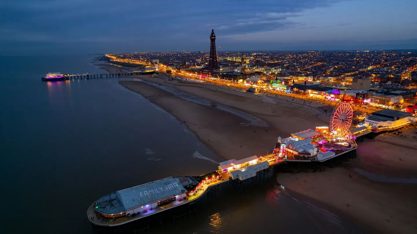
Blackpool TowerPhoto Mark mc neill / Unsplash
Places to explore near Preston
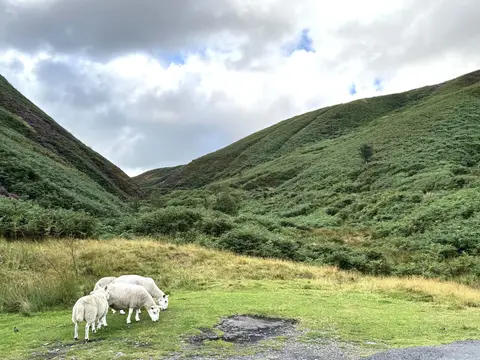
A Lancashire cotton city on the River Ribble, Preston still holds its Guild every twenty years and wears its Victorian confidence in the great glass hall of the Harris Museum. Green country lies close on every side. The Forest of Bowland rises to the north-east, a hushed upland of heather fells and deep cloughs, with Beacon Fell standing apart as a wooded lookout over the plain. West of the town the Ribble Estuary draws vast flocks of wintering wildfowl, and the Ribble Way traces the river from coast to source.
93 places within 25 km — the standouts first, nearest first within each group. 2 are national icons.
Worth the tripnational icons and local highlights within reach
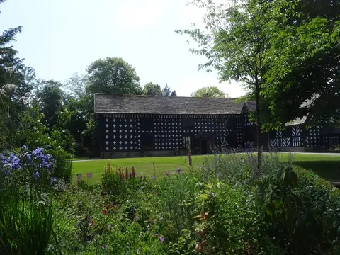
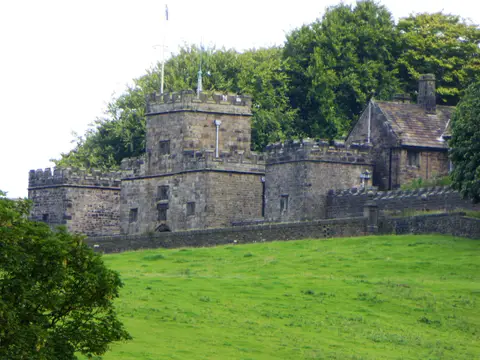
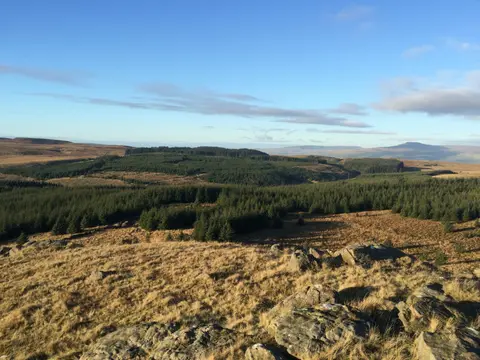
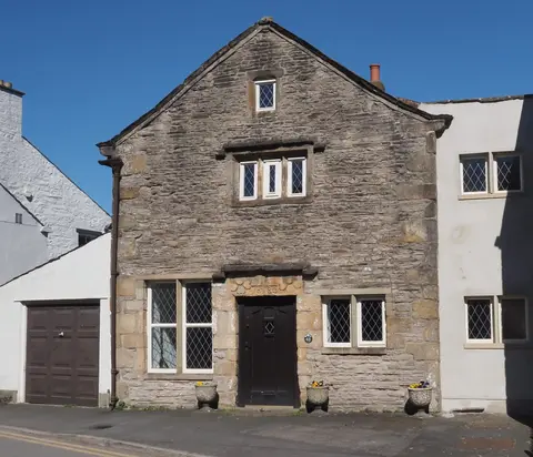
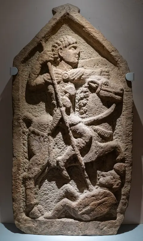
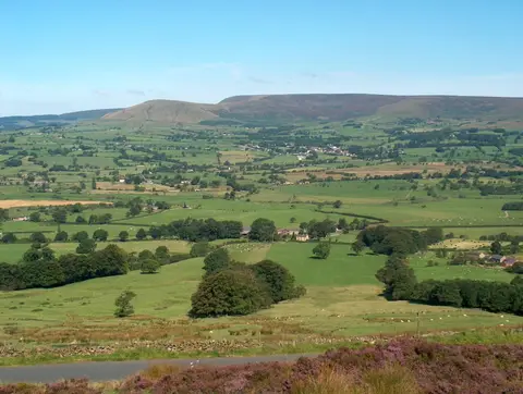
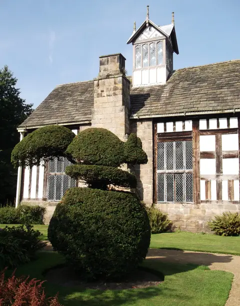
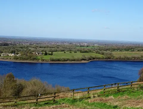
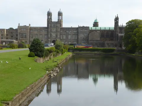
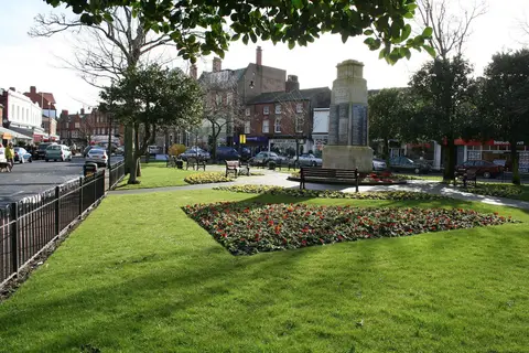

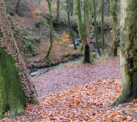
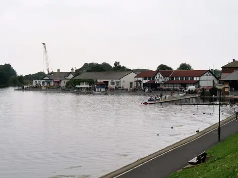
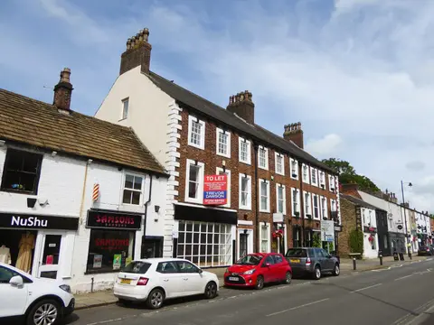
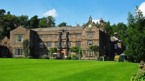
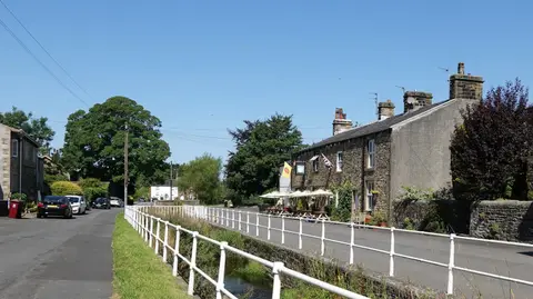
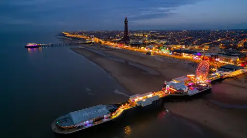
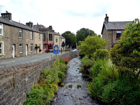
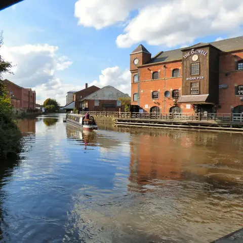
Also nearbygood places nearby, nearest first
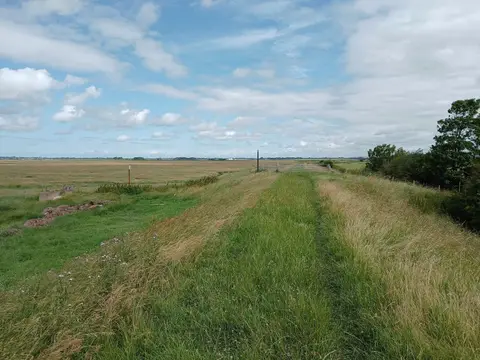
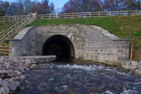
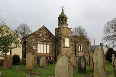
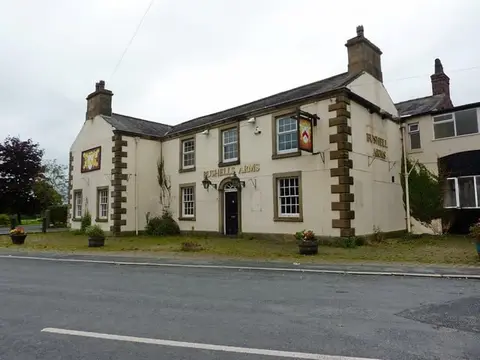
Everything else within 25 km (56) — reserves, earthworks & places to check before travelling
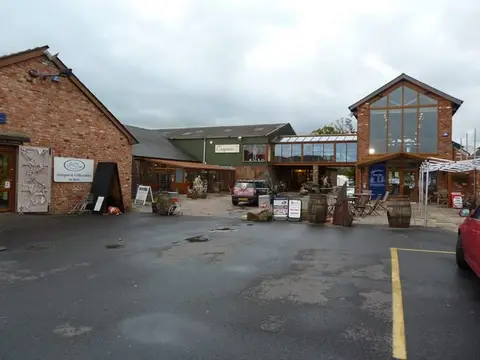
- JJ Sandham CreameryFarm & farm shop8.1 km N
- King Charles III England Coast PathNational Trail9.8 km SW
- Mrs Kirkham's Lancashire CheeseFarm & farm shop9.8 km N
- Ye Horns InnPub10 km N
- Witton Country ParkCountry park11.2 km E
- The MillstonePub11.4 km E
- Yarrow Valley Country ParkCountry park11.8 km S
- Barton Grange Farm ShopFarm & farm shop11.8 km N
- The White BullPub12.5 km NE
- Beacon Fell Country ParkCountry park12.8 km N
- Stydd GardensGarden12.9 km NE
- St Saviour's Church, StyddChurch13.1 km NE
- St Michael's, St Michael's on WyreChurch13.4 km NW
- Corporation ParkHouse & garden13.7 km E
- Wrea GreenVillage14.1 km W
- Mrs Dowson's Farm & Ice CreamFarm & farm shop14.6 km E
- The Farmers Arms (Great Eccleston)Pub15 km NW
- ChippingVillage15.1 km NE
- Brabin's ShopFarm & farm shop15.8 km NE
- Calder ValeVillage15.9 km N
- Dewlay CheesemakersFarm & farm shop16.1 km N
- GarstangVillage16.1 km N
- The Shireburn ArmsPub16.8 km NE
- Hurst GreenVillage16.8 km NE
- Lytham WindmillWindmill16.9 km W
- The Eagle & ChildPub17.1 km S
- Lever ParkCountry park17.7 km SE
- Lytham Hall GardensGarden18.1 km W
- St Cuthbert's Church, LythamChurch18.2 km W
- Terraced Gardens Rivington Country ParkCountry park18.4 km SE
- Penwortham CastleCastleaccess unclear1.5 km SW
- Red Scar and Tun Brook WoodsSSSIaccess unclear4.2 km E
- Beeston Brook PastureSSSIaccess unclear5.9 km E
- Darwen River SectionSSSIaccess unclear7 km E
- Newton MarshSSSIaccess unclear8.1 km W
- Ribble EstuaryNational Nature Reserve9.7 km SW
- LongridgeVillage10.3 km NE
- The Clog & BillycockPub11.4 km E
- The Derby ArmsPub11.7 km NE
- Ribchester Roman fortRoman archaeological siteaccess unclear12.3 km NE
- West Pennine MoorsSSSI12.5 km SE
- St Wilfrid's Church, RibchesterChurch12.5 km NE
- Rough Hey WoodSSSIaccess unclear12.9 km N
- St Michael's on WyreVillage13.8 km NW
- Charnock Richard PastureSSSIaccess unclear14.6 km S
- Lytham Coastal ChangesSSSIaccess unclear15.4 km W
- Pike StonesChambered tomb15.5 km SE
- Greenhalgh CastleCastleaccess unclear15.7 km N
- Bowland FellsSSSI15.7 km N
- The Cartford InnPub15.9 km NW
- Mere Sands WoodSSSIaccess unclear16.3 km SW
- Longridge Fell - Spire HillMarilyn16.4 km NE
- Wrightington Bar PastureSSSIaccess unclear16.4 km S
- Wyre EstuarySSSI17.8 km NW
- Harper Clough and Smalley Delph QuarriesSSSIaccess unclear17.9 km E
- Fair Snape FellMarilyn18.4 km N
Ordered by how far each place is worth travelling for, then by distance. Distances are straight-line to the nearest edge of each place — paths wind, of course.