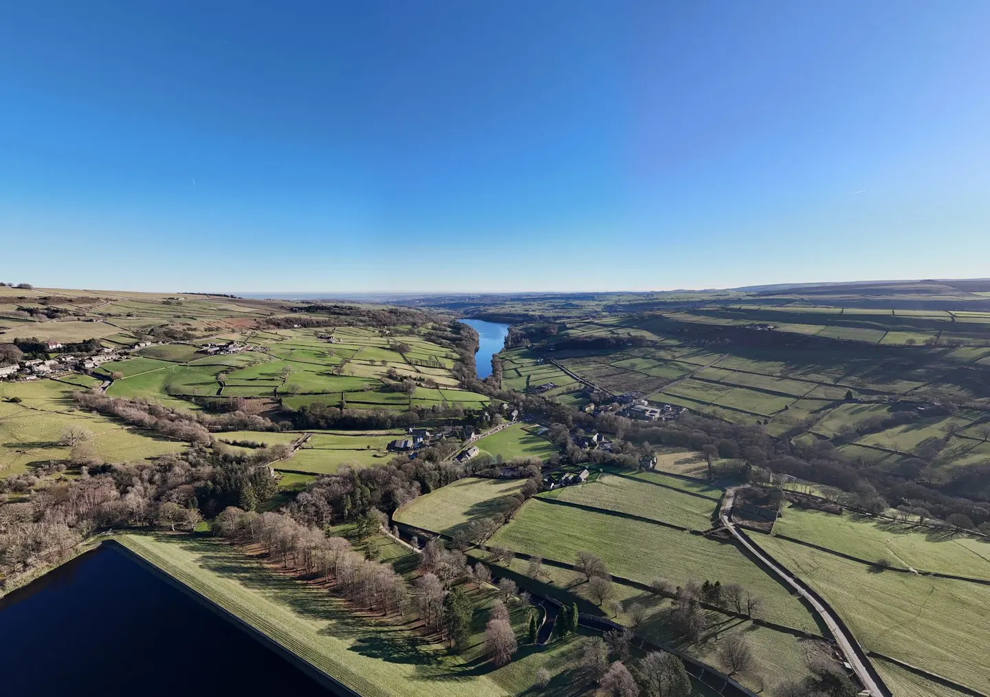
Places to explore near Hebden Bridge
A Pennine mill town wedged into the steep Calder valley, Hebden Bridge stacks its double-decker houses up slopes too sharp to build on flat. Cotton and fustian weaving filled the valley; galleries and independent shops fill it now. The wooded gorge of Hardcastle Crags runs north up Hebden Water past an old mill. On the tops sit the gritstone village of Heptonstall, where Sylvia Plath is buried, and the obelisk of Stoodley Pike. The Pennine Way crosses the moors above, on towards Brontë Haworth.
100 places within 25 km — the standouts first, nearest first within each group. 4 are national icons.
Worth the tripnational icons and local highlights within reach
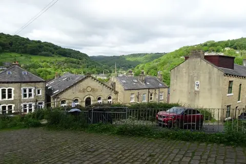
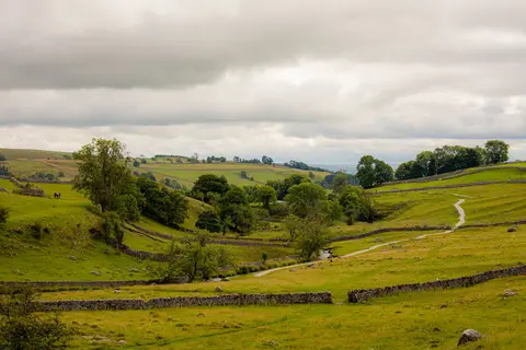
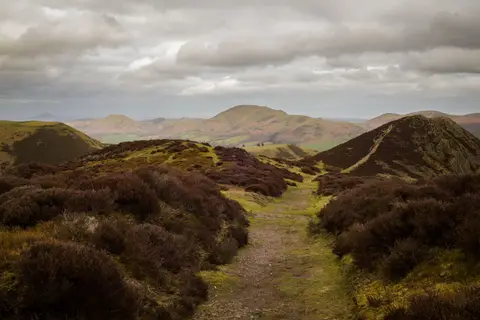
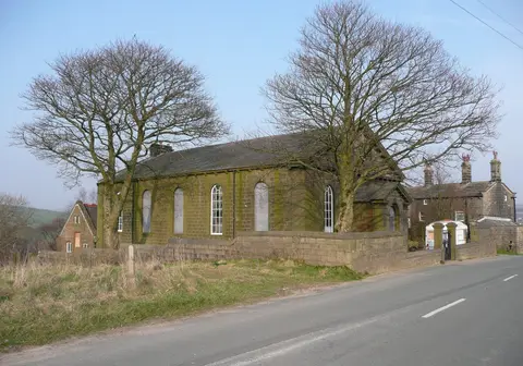
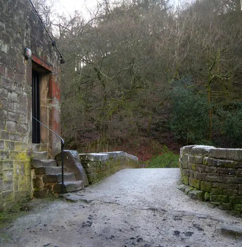
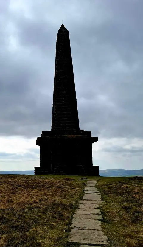
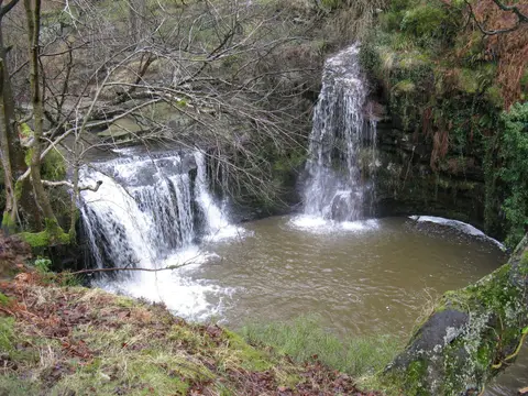
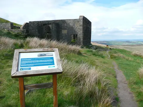
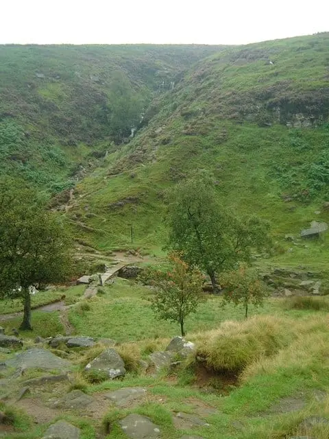
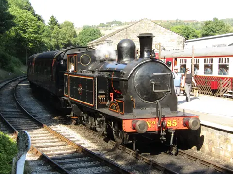
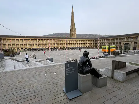
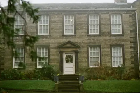
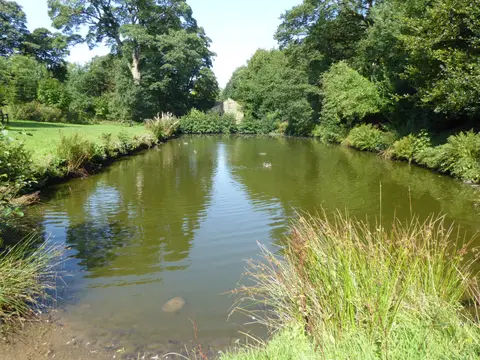
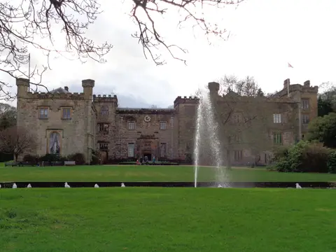
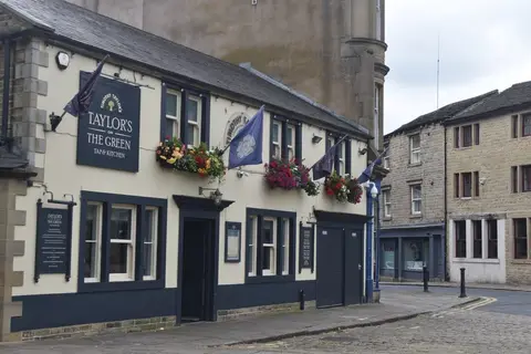
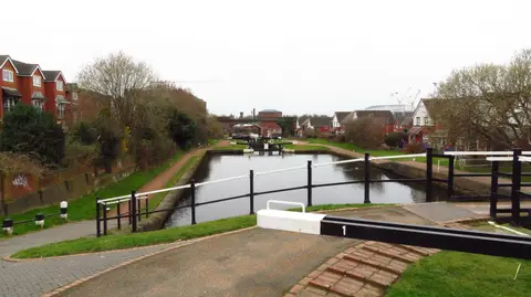
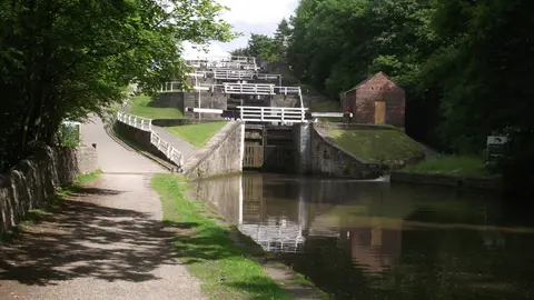

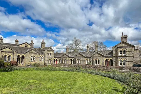
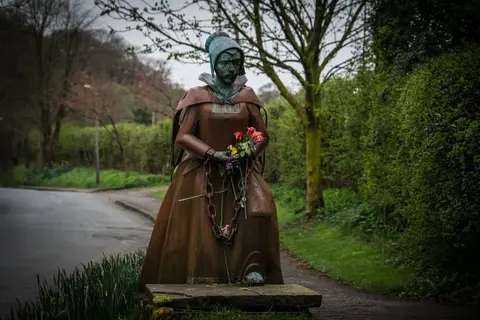
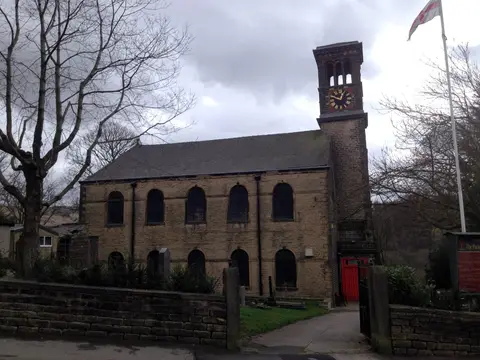
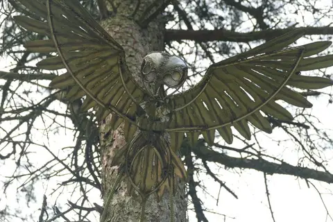
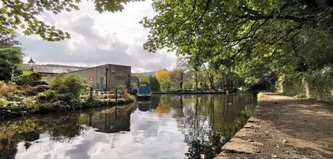
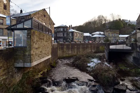
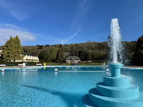
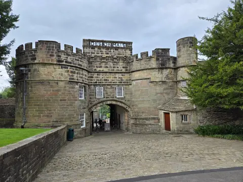
Also nearbygood places nearby, nearest first
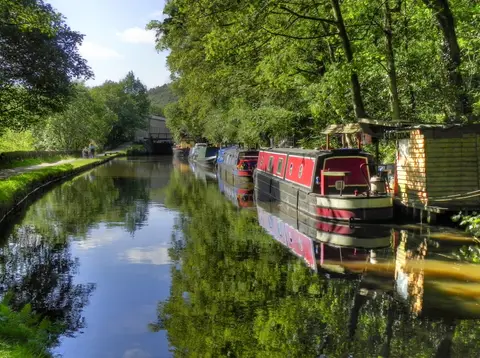
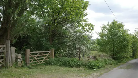
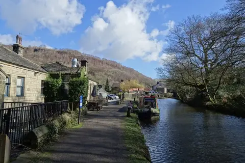
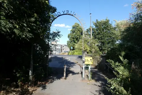
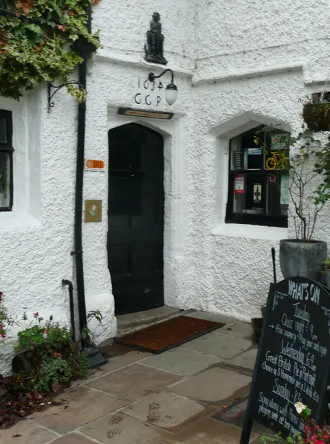
Everything else within 25 km (52) — reserves, earthworks & places to check before travelling
- Ogden Water Country ParkCountry park7.2 km NE
- Bronte WayLong-distance path8 km NE
- RippondenVillage8.9 km SE
- Penistone Hill Country ParkCountry park9.2 km N
- Peoples Park, HalifaxHouse & garden9.6 km E
- Haworth Old Hall InnPub10.4 km N
- The Fleece InnPub10.5 km N
- Shibden Mill InnPub10.9 km E
- Shibden Country ParkCountry park11 km E
- Blackstone EdgeCounty top11.2 km S
- Pendle WayLong-distance path11.5 km NW
- Hollingworth Country ParkCountry park12.6 km SW
- Way Stone EdgeCounty top13.3 km S
- Hollingworth LakeReservoir13.5 km SW
- Moorhouse's BreweryBrewery14.2 km W
- Huddersfield Narrow CanalCanal15.8 km SE
- St Peter's Church, BurnleyChurch15.9 km W
- St Bartholomew's Church, ColneChurch16.5 km NW
- MarsdenVillage16.7 km S
- East Riddlesden HallHouse & garden17 km NE
- Langroyd Country ParkCountry park17.2 km NW
- Broadhead CloughSSSI1.8 km S
- South Pennine MoorsSSSI1.8 km E
- Crimsworth DeanSSSIaccess unclear2 km N
- Old Church of St Thomas a BecketChurch2 km NW
- iglu sauna, Hebden BridgeSauna3.2 km W
- Roots & Rocks, Hardcastle CragsSauna3.2 km NW
- Withens CloughSSSI3.8 km S
- Cragg ValeVillage4.2 km S
- Castle Hill motte, Rosemary HallCastleaccess unclear6.2 km SE
- Sowerby BridgeVillage7.7 km SE
- Withins HeightCounty top7.9 km N
- Bradford Pennine GatewayNational Nature Reserve9.2 km N
- Blackstone Edge Roman roadRoman archaeological site9.8 km S
- Freeholds TopMarilyn10.2 km SW
- Boulsworth Hill - Lad LawMarilyn10.4 km NW
- St Michael and All Angels, HaworthChurch10.6 km N
- Halifax MinsterChurch10.7 km E
- The Old Bridge Inn (Ripponden)Pub11.1 km S
- Small stone circle on Delf HillStone circle11.2 km NW
- Twist CastleCastleaccess unclear12.2 km NW
- Cambodunum Roman fortRoman archaeological siteaccess unclear13.5 km SE
- Lee QuarrySSSI13.7 km SW
- Elland Bypass CuttingSSSIaccess unclear14.3 km SE
- Park CloughSSSI15.2 km S
- Castercliff hillfortHillfortaccess unclear15.4 km NW
- iglu sauna, SlaithwaiteSauna15.8 km SE
- SlaithwaiteVillage15.9 km SE
- Bingley South BogSSSIaccess unclear16.5 km NE
- Stonehead Beck ('Gill Beck')SSSIaccess unclear16.6 km N
- Dark PeakSSSI17.4 km S
- Hail Storm HillMarilyn17.6 km SW
Ordered by how far each place is worth travelling for, then by distance. Distances are straight-line to the nearest edge of each place — paths wind, of course.