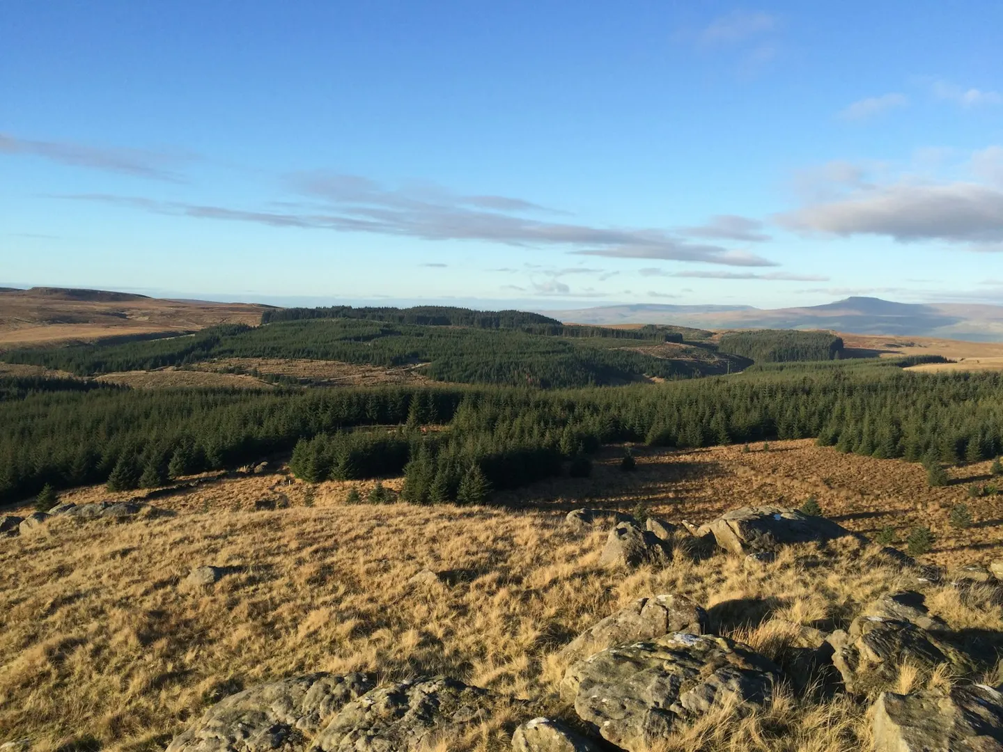
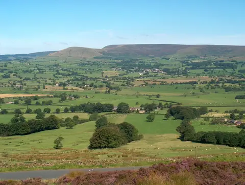
Forest of BowlandPhoto Robin Cross / Unsplash
Places to explore near Blackburn
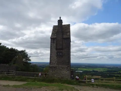
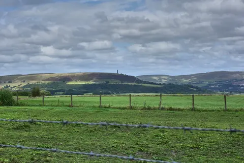
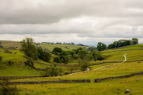
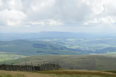
Cotton wove Blackburn into a mill town of tall chimneys and terraced streets, ringed by the moors that gave it the soft water and fast becks it ran on. The West Pennine Moors climb straight from the southern edge towards the tower on Darwen Hill and the reservoirs and terraced gardens of Rivington. Northward the land opens into the Ribble Valley, with the long whaleback of Pendle Hill beyond, heavy with witch-trial history. The heather uplands of the Forest of Bowland fill the horizon to the north.
92 places within 25 km — the standouts first, nearest first within each group. 1 is a national icon.
Worth the tripnational icons and local highlights within reach
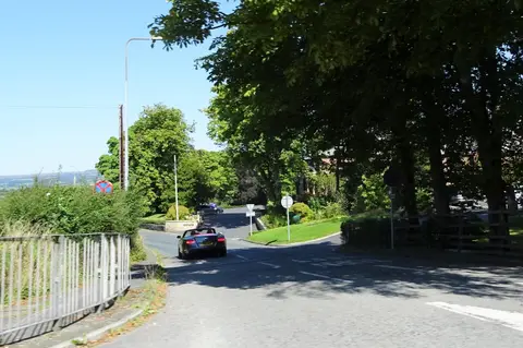
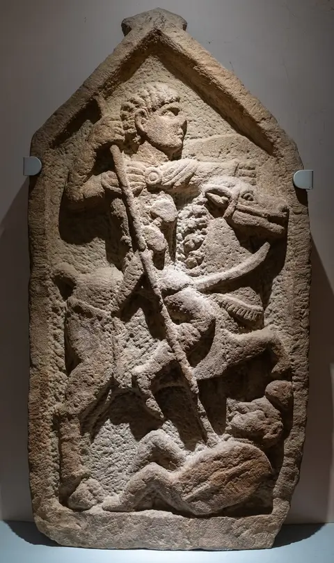
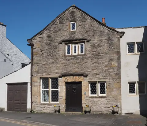
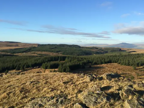
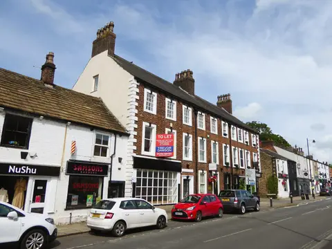
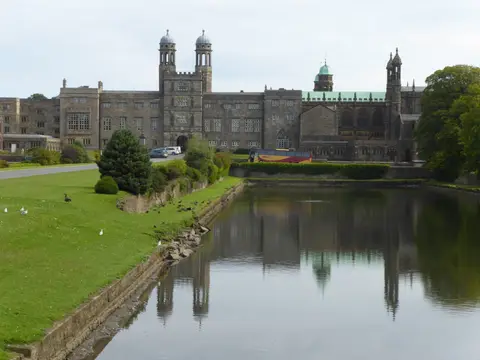
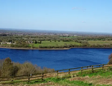
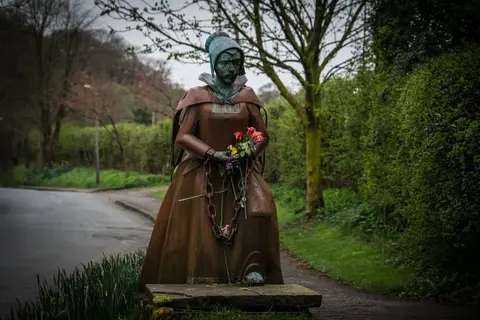
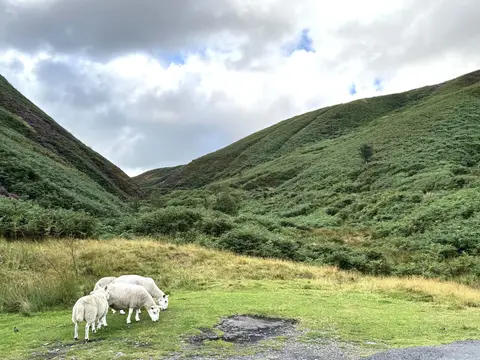
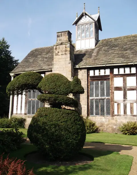
Also nearbygood places nearby, nearest first
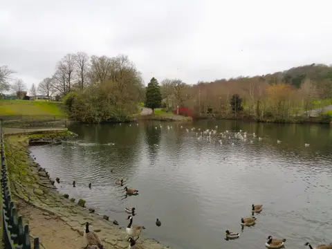
Everything else within 25 km (53) — reserves, earthworks & places to check before travelling
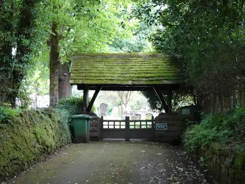
- Whalley Abbey GatehouseAbbey9.3 km NE
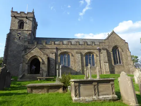
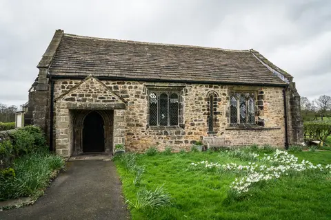
- St Mary's Church, WhalleyChurch9.5 km NE
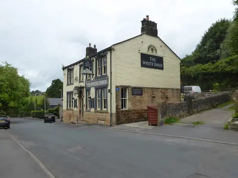
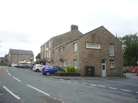
- The Shireburn ArmsPub9.8 km N
- Hurst GreenVillage9.8 km N
- The Aspinall ArmsPub11.1 km N
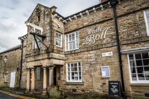
- The Strawbury DuckPub11.4 km S
- The Three FishesPub11.4 km N
- All Hallows Church, Great MittonChurch11.4 km N
- Cuerden Valley ParkCountry park11.5 km W
- Great MittonVillage11.5 km N
- Stubbins EstateCountry estate12.1 km SE
- Winter HillMarilyn13.3 km S
- Bronte WayLong-distance path13.5 km NE
- Gawthorpe HallHouse & garden13.6 km NE
- Smithills Country ParkCountry park13.6 km S
- Jumbles Country ParkCountry park14 km SE
- Avenham ParkHouse & garden14.3 km W
- Lever ParkCountry park14.3 km S
- Moor Park (Lancashire)House & garden14.4 km W
- Terraced Gardens Rivington Country ParkCountry park14.4 km S
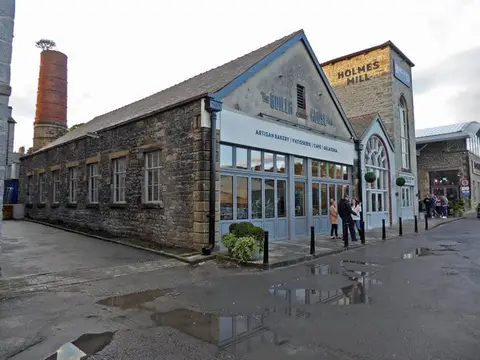
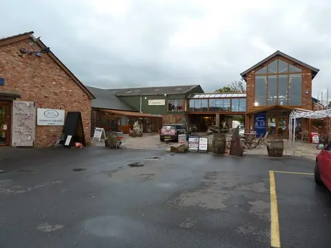
- Bowland Food Hall at Holmes MillFarm & farm shop14.6 km NE
- Miller ParkHouse & garden14.7 km W
- Yarrow Valley Country ParkCountry park14.9 km SW
- ClitheroeVillage14.9 km NE
- Pendle WayLong-distance path15 km NE
- The Clog & BillycockPub3.3 km W
- Harper Clough and Smalley Delph QuarriesSSSIaccess unclear4.9 km NE
- West Pennine MoorsSSSI5.6 km S
- Darwen River SectionSSSIaccess unclear6.5 km W
- Ribchester Roman fortRoman archaeological siteaccess unclear7.7 km NW
- St Wilfrid's Church, RibchesterChurch7.8 km NW
- Beeston Brook PastureSSSIaccess unclear8.7 km W
- Cock Wood GorgeSSSIaccess unclear8.8 km NE
- Whalley Cistercian abbeyAbbeyaccess unclear9.3 km NE
- Portfield hillfortHillfortaccess unclear9.7 km NE
- Red Scar and Tun Brook WoodsSSSIaccess unclear9.7 km NW
- The Freemasons at WiswellPub10.8 km NE
- Hapton CastleCastleaccess unclear11 km E
- Scholes Height & Bull HillCounty top11.6 km SE
- Light CloughSSSIaccess unclear11.7 km NE
- LongridgeVillage11.9 km NW
- Hodder River SectionSSSIaccess unclear12 km N
- Pike StonesChambered tomb12.2 km SW
- Cheetham CloseStone circle12.6 km S
- SabdenVillage13 km NE
- Longridge Fell - Spire HillMarilyn13.2 km N
- TurtonVillage13.2 km SE
- Goodshaw ChapelChapelaccess unclear13.3 km E
- Hodge CloughSSSIaccess unclear13.3 km SE
- Gale Clough and Shooterslee WoodSSSIaccess unclear13.5 km S
- The Derby ArmsPub13.6 km NW
- River Ribble at Edisford BridgeSwimming spot14.1 km N
- Lower Red Lees PastureSSSIaccess unclear14.4 km SE
Ordered by how far each place is worth travelling for, then by distance. Distances are straight-line to the nearest edge of each place — paths wind, of course.