Open accesson open access land, where the right to roam applies
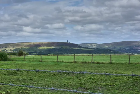
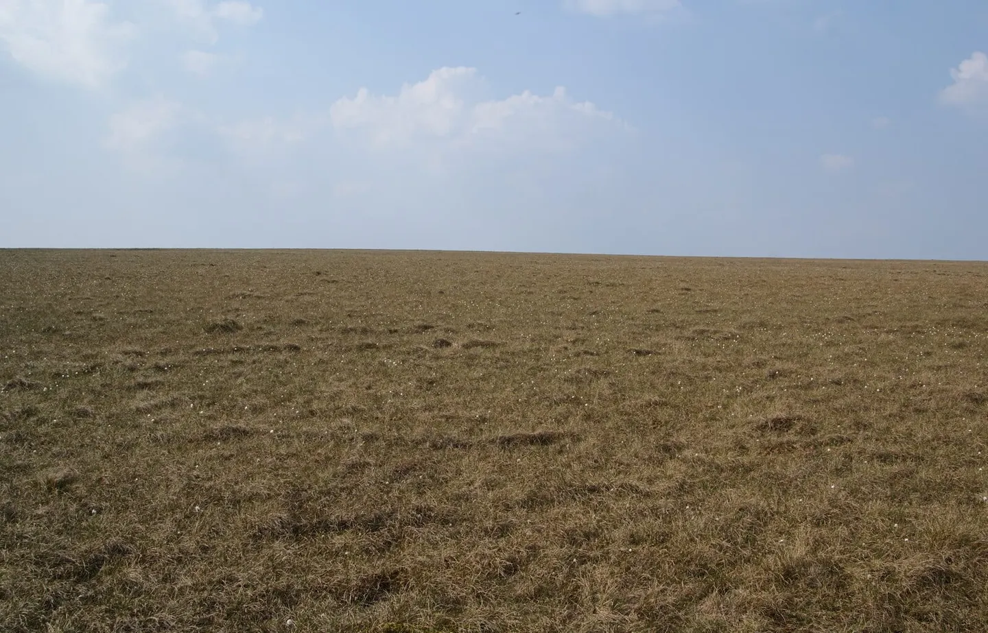
Scholes Height & Bull Hill rises to 415 m (1,362 ft) in Lancashire. It is the highest point of Bury. It is one of twelve hills the Albion Guide maps in Lancashire.
Nearby hills include Hail Storm Hill and Winter Hill. The nearest railway station is Entwistle, 3.1 km to the south-west.
More at hill-bagging.co.uk