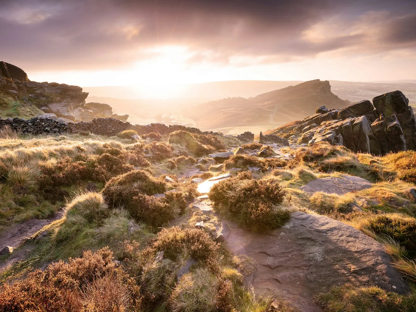
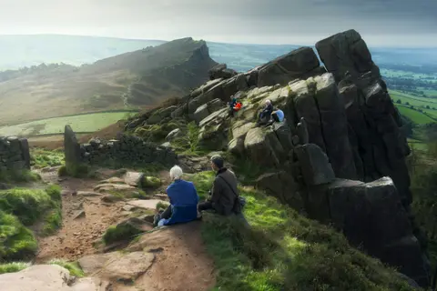
The RoachesPhoto Rob Bates / Unsplash
Places to explore near Stoke-on-Trent
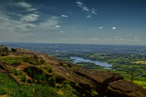
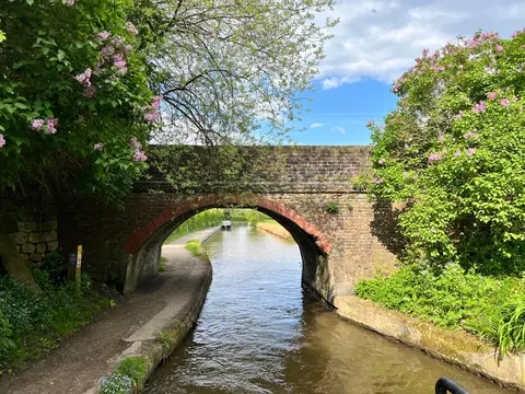
The Potteries city of six towns, Stoke-on-Trent built its name on bone china and bottle kilns fired along the River Trent, and the Caldon Canal still threads out of the centre towards the hills. The southern Peak District begins a short drive east, where Dovedale and the Manifold Valley cut their limestone dales, while the gritstone edge of The Roaches rears above Rudyard Lake to the north. Cannock Chase spreads its heath and forest to the south.
93 places within 25 km — the standouts first, nearest first within each group. 5 are national icons.
Worth the tripnational icons and local highlights within reach
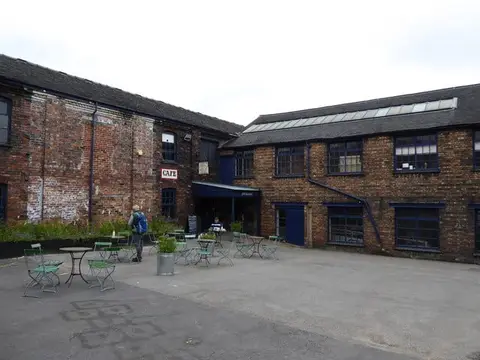
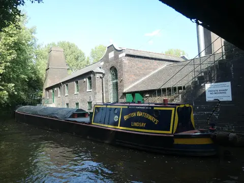
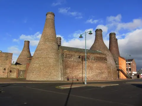
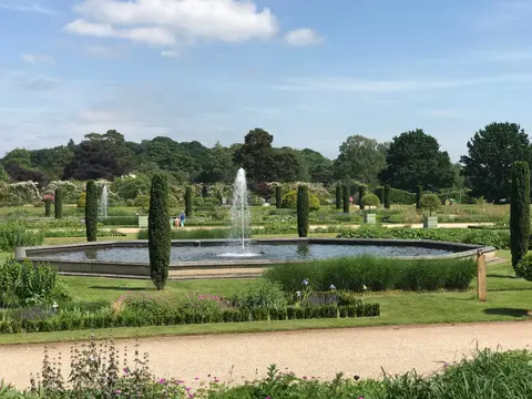
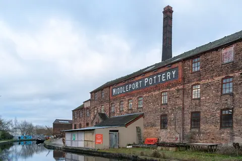
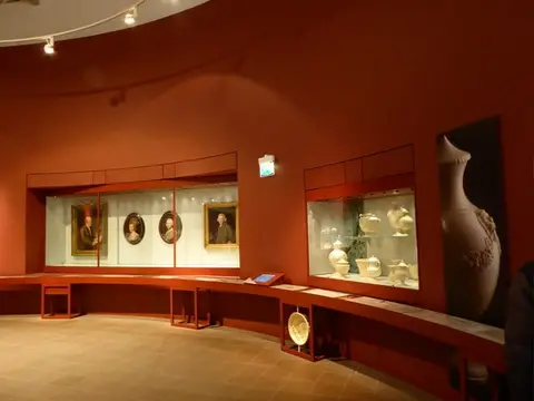
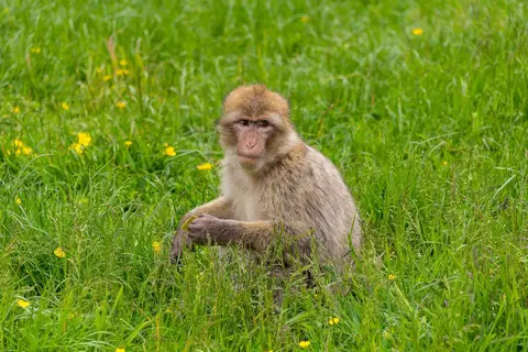

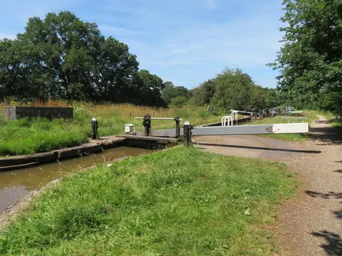
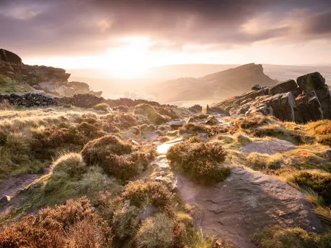
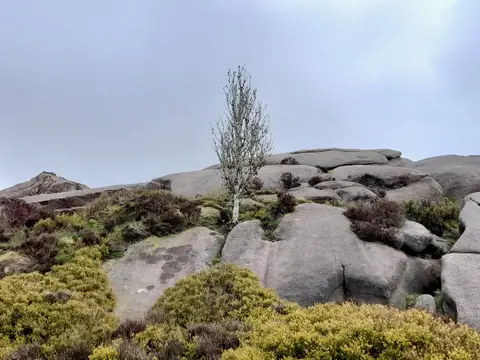
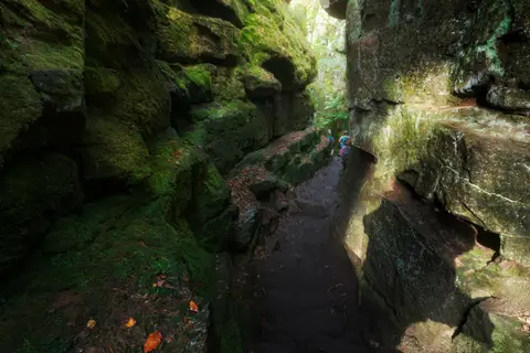

Also nearbygood places nearby, nearest first
Everything else within 25 km (55) — reserves, earthworks & places to check before travelling
- Downs BanksCountry estate8.3 km S
- Greenway Bank Country ParkCountry park10.1 km N
- Deep Hayes Country ParkCountry park10.2 km NE
- Consall Nature ParkCountry park10.3 km E
- Lymestone BreweryBrewery10.3 km S
- Gritstone TrailLong-distance path10.4 km NW
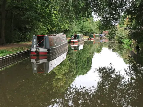
- Macclesfield CanalCanal10.6 km NW
- Staffordshire WayLong-distance path11.8 km NE
- CheddletonVillage12.4 km NE
- Consall Hall Landscape GardensGarden12.5 km E
- Povey's OatcakesFarm & farm shop12.8 km N
- St Giles' Catholic Church, CheadleChurch12.8 km E
- Ladderedge Country ParkCountry park12.9 km NE
- St Bertoline's ChurchChurch13.5 km NW
- Dorothy Clive GardenGarden13.6 km W
- Rode Hall GardensGarden13.7 km NW
- Biddulph Grange Country ParkCountry park13.9 km N
- HawksmoorNature reserve15.4 km E
- LeekVillage15.7 km NE
- Glebe Farm ShopFarm & farm shop16.8 km N
- St Mary's Church (Astbury)Church16.9 km N
- The Egerton ArmsPub17 km N
- OakamoorVillage17.2 km E
- King's and Hargreaves WoodsSSSIaccess unclear4 km SW
- Hulme QuarryNational Nature Reserve4.5 km E
- Hulton AbbeyMonasteryaccess unclear4.8 km NE
- Wetley MoorSSSI5.4 km NE
- Ford Green ReedbedSSSIaccess unclear6 km N
- Metallic Tileries, Park HouseSSSIaccess unclear6.2 km NW
- Meir HeathCounty topaccess unclear6.6 km SE
- Multivallate hillfort at Bury BankHillfortaccess unclear9.1 km S
- Churnet ValleySSSI9.9 km E
- Castle Hill Motte (Staffordshire)Castleaccess unclear10.1 km NW
- Berth HillHillfortaccess unclear11 km SW
- Heighley CastleCastleaccess unclear11 km W
- Maer PoolSSSIaccess unclear11.1 km SW
- The Boat Inn (Cheddleton)Pub12.3 km NE
- Combes ValleySSSIaccess unclear13 km NE
- Betley MereSSSIaccess unclear13.2 km W
- Roe Park WoodsSSSIaccess unclear13.2 km N
- The White Lion (Barthomley)Pub13.5 km NW
- Black Firs & Cranberry BogSSSIaccess unclear14.1 km W
- Froghall Meadow and PasturesSSSIaccess unclear14.2 km E
- Gannister QuarrySSSIaccess unclear14.2 km N
- Bailey's Wood ringworkEarthworks of a former castleaccess unclear14.5 km N
- Oakhanger MossSSSIaccess unclear14.9 km NW
- Whiston EavesSSSIaccess unclear15.4 km E
- Eccleshall CastleCastleaccess unclear16.3 km S
- Dimmings Dale & The RangerSSSI16.3 km E
- Dieu-la-Cres AbbeyAbbeyaccess unclear16.4 km NE
- EccleshallVillage16.7 km S
- Cop MereSSSIaccess unclear16.8 km SW
- Burnt WoodSSSI17 km SW
- Swineholes Wood and Black HeathSSSI17.2 km E
- The Mill at WorstonPub17.2 km S
Ordered by how far each place is worth travelling for, then by distance. Distances are straight-line to the nearest edge of each place — paths wind, of course.