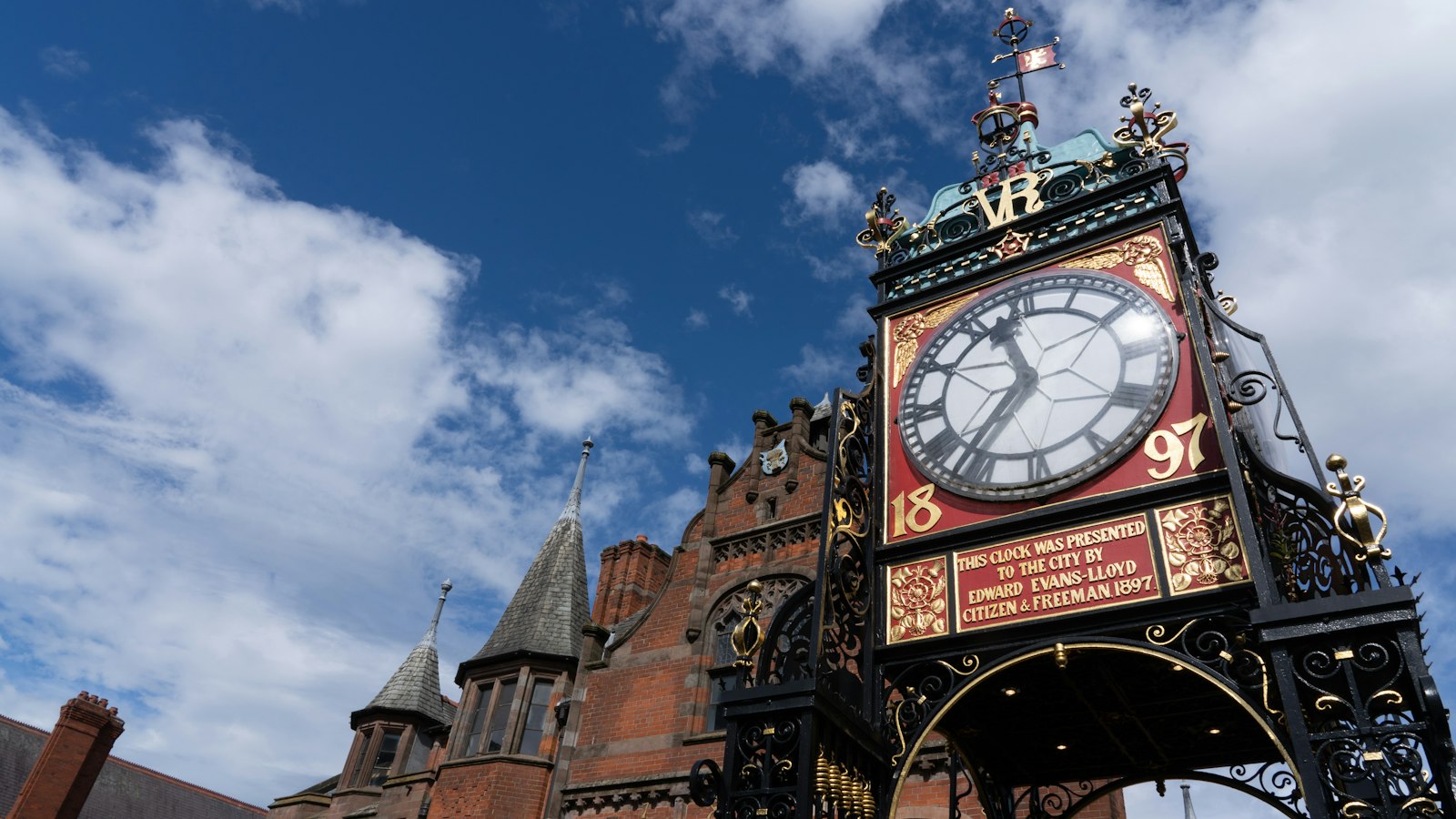
Photo Jonny Gios / Unsplash
Places to explore near Chester
Founded as the Roman fortress of Deva on a sandstone bluff above the Dee, Chester keeps the most complete circuit of city walls in Britain and the Rows — galleried medieval shopping tiers found nowhere else. The Cheshire sandstone ridge that carries the city runs south-east as a walkers' spine. The Sandstone Trail links the crag-top ruin of Beeston Castle to the wooded heights above Frodsham, with the old hunting woods of Delamere Forest spread between. The Dee marshes and the Wirral coast open west toward the Irish Sea.
99 places within 25 km — the standouts first, nearest first within each group. 2 are national icons.
Worth the tripnational icons and local highlights within reach
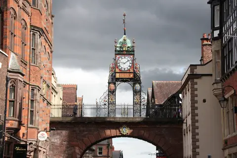
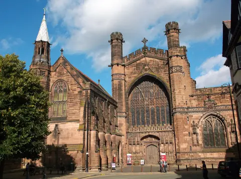
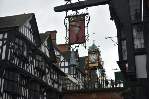
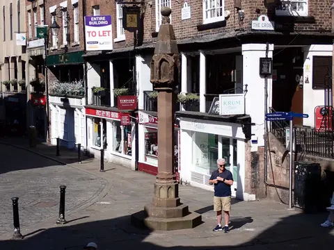
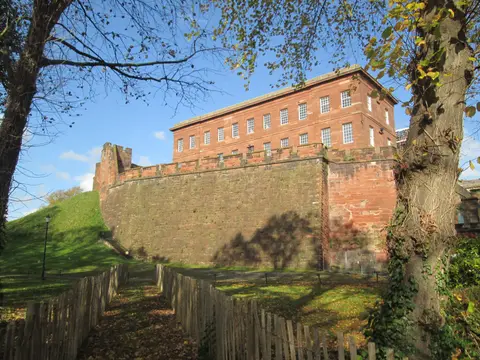
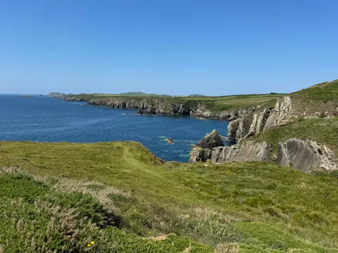
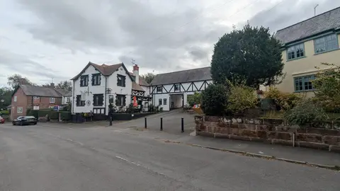
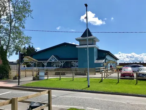
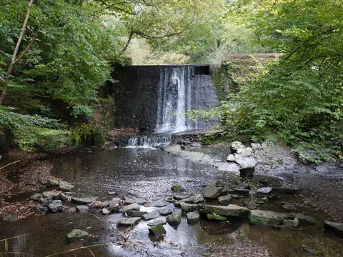
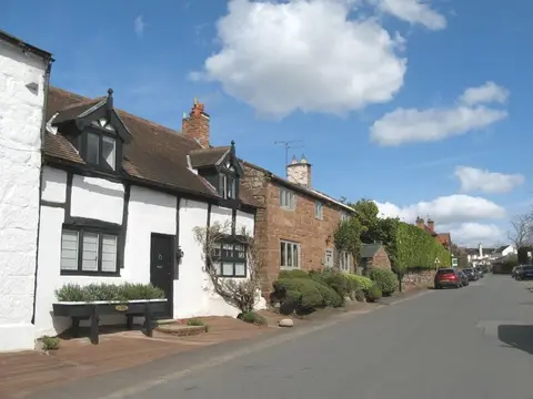
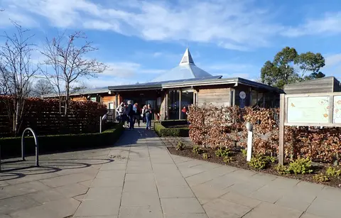
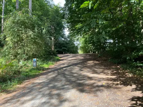
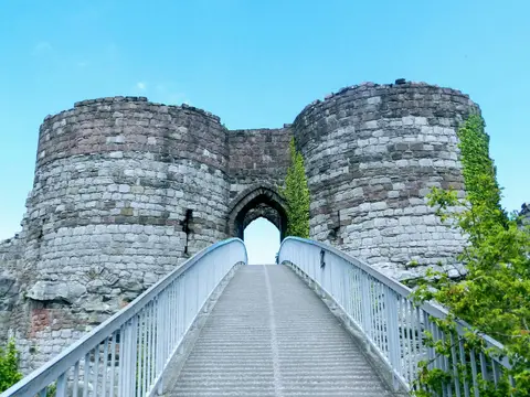
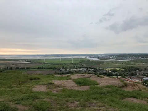
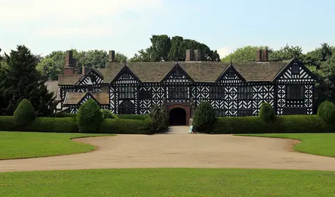
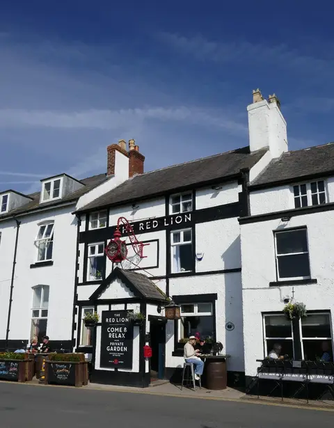
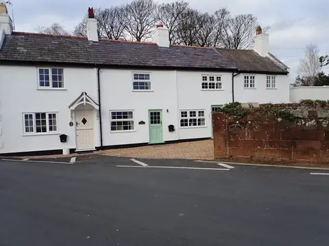
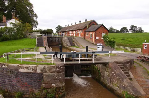
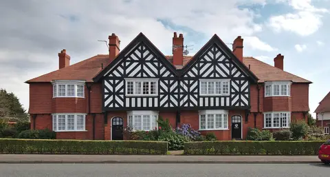
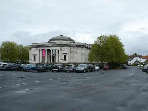
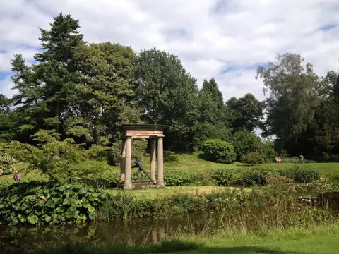
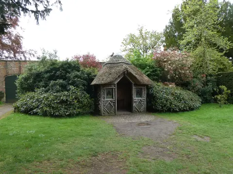
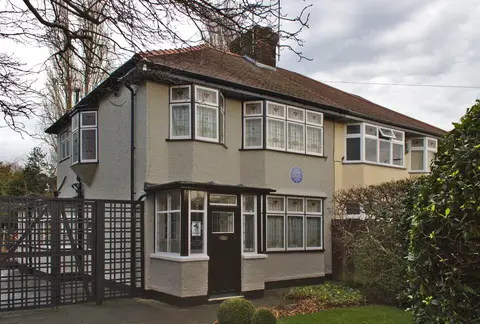
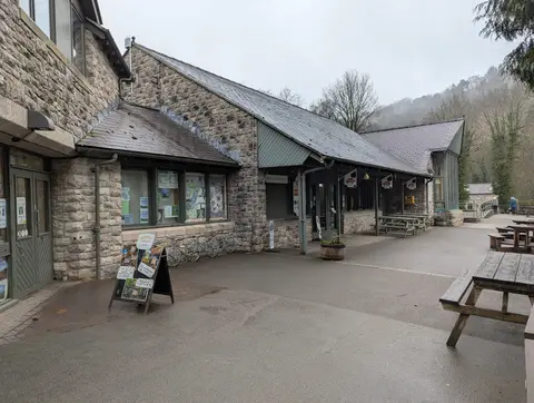
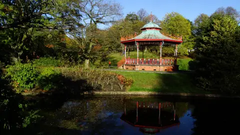
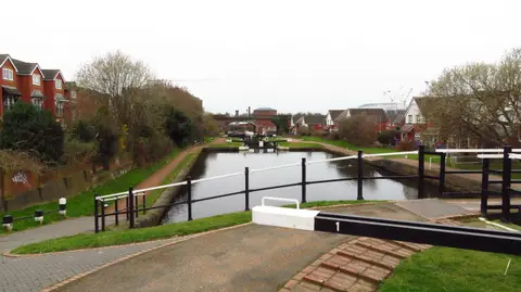
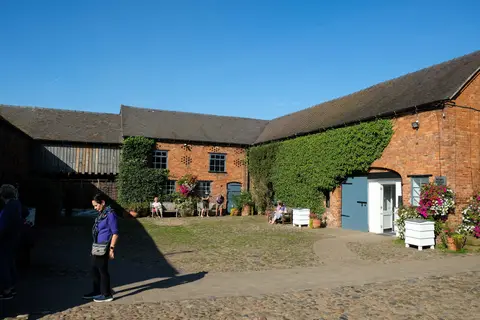
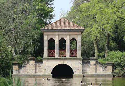
Also nearbygood places nearby, nearest first
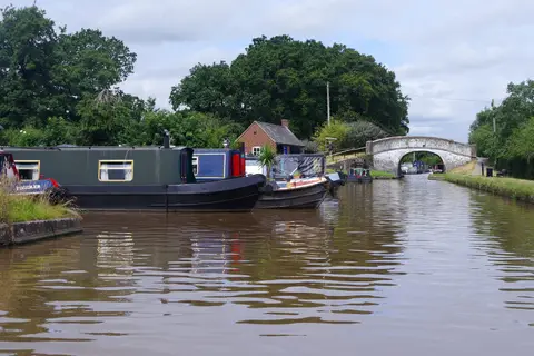
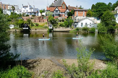
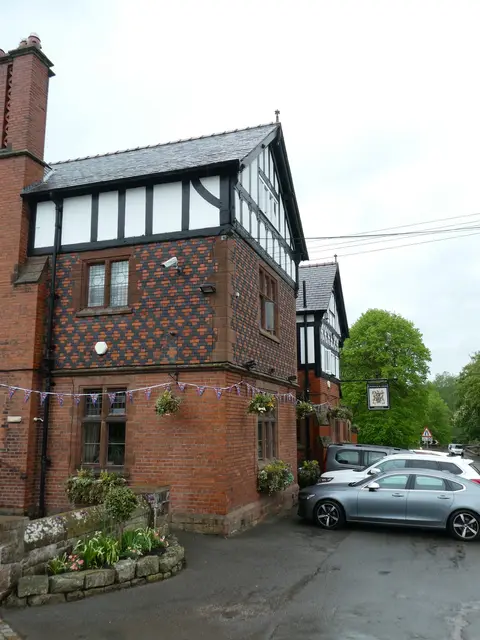
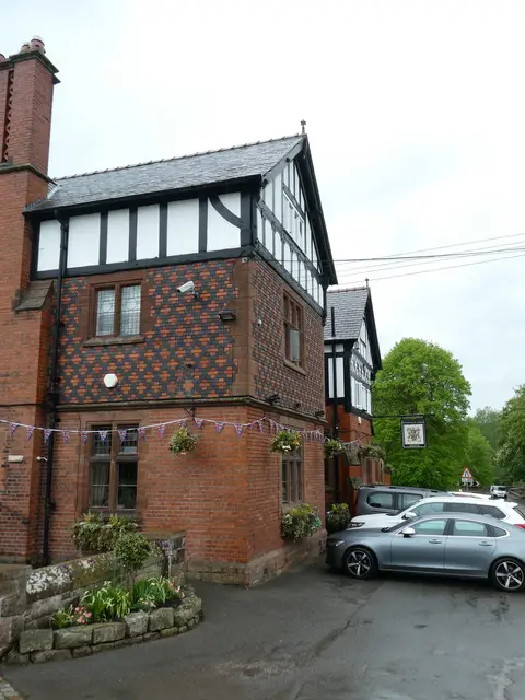
Everything else within 25 km (57) — reserves, earthworks & places to check before travelling
- Manchester Ship CanalCanal10.7 km N
- Rackery Farm ShopFarm & farm shop11.7 km SW
- Castell EwloeCastle11.8 km W
- FarndonVillage11.8 km S
- Weetwood AlesAttraction11.9 km E
- St Chad's ChurchChurch11.9 km S
- King Charles III England Coast PathNational Trail12.1 km NW
- Sandstone TrailLong-distance path12.2 km NE
- Burton Mill WoodsNature reserve12.3 km NW
- Helsby HillCountry estate12.5 km NE
- Holt (Holt)Village12.6 km S
- Bellis Brothers Farm ShopFarm & farm shop12.8 km S
- Castell CaergwrleCastle13.4 km SW
- Stretton WatermillWatermill14.1 km S
- Pant-yr-OchainPub14.3 km SW
- TarporleyVillage14.9 km E
- The Harp InnPub15.1 km NW
- The Swan (Tarporley)Pub15.2 km E
- Little AbbeyAbbeyaccess unclear0.2 km NW
- Sandy Lane, ChesterSwimming spot1.4 km E
- Caldy Valley Nature ParkCountry park1.8 km SE
- Old Rectory motteEarthworks of a former castleaccess unclear3.7 km S
- ChristletonVillage4.7 km E
- Eaton HallHouse & gardenaccess unclear5 km S
- Battle of Rowton HeathBattlefield6.1 km SE
- Aldford motteEarthworks of a former castleaccess unclear7 km S
- Shotwick CastleCastleaccess unclear7 km NW
- Dodleston motteEarthworks of a former castleaccess unclear7.1 km SW
- Pulford motteEarthworks of a former castleaccess unclear8.2 km S
- Hawarden CastleCastleaccess unclear8.6 km W
- Mersey EstuarySSSI10.7 km N
- Stanlaw AbbeyAbbeyaccess unclear11.3 km N
- The BearPub11.3 km SE
- Hallwood Farm Marl PitSSSIaccess unclear11.4 km NW
- TattenhallVillage11.4 km SE
- Holt Roman SettlementRoman bathsaccess unclear11.8 km S
- Dee Cliffs, FarndonSSSI11.8 km S
- Inner Marsh FarmSSSIaccess unclear11.8 km NW
- Helsby Hill promontory fortPromontory fortaccess unclear12.5 km NE
- Burton Point promontory fortPromontory fortaccess unclear12.5 km NW
- Dee EstuarySSSIaccess unclear12.5 km NW
- Kelsborrow CastlePromontory fortaccess unclear12.6 km E
- Holt CastleCastleaccess unclear12.6 km S
- All Saints' Church, GresfordChurch12.8 km SW
- GresfordVillage12.9 km SW
- St Winefride's Holy WellHoly wellaccess unclear13 km SE
- Black Lake, DelamereSSSI13.8 km E
- Tirley GarthHouse & gardenaccess unclear14 km E
- Woodhouse Hill CampHillfortaccess unclear14 km NE
- Dunsdale HollowSSSIaccess unclear14.4 km NE
- Hope MountainMarilynaccess unclear14.6 km SW
- Kingsley CastleCastleaccess unclear14.6 km NE
- Linmer MossSSSI14.7 km E
- Peckforton WoodsSSSIaccess unclear14.9 km SE
- Eddisbury hill fortHillfortaccess unclear15 km E
- The Cat & LionPub15.3 km S
- The Pheasant Inn (Higher Burwardsley)Pub15.3 km SE
Ordered by how far each place is worth travelling for, then by distance. Distances are straight-line to the nearest edge of each place — paths wind, of course.