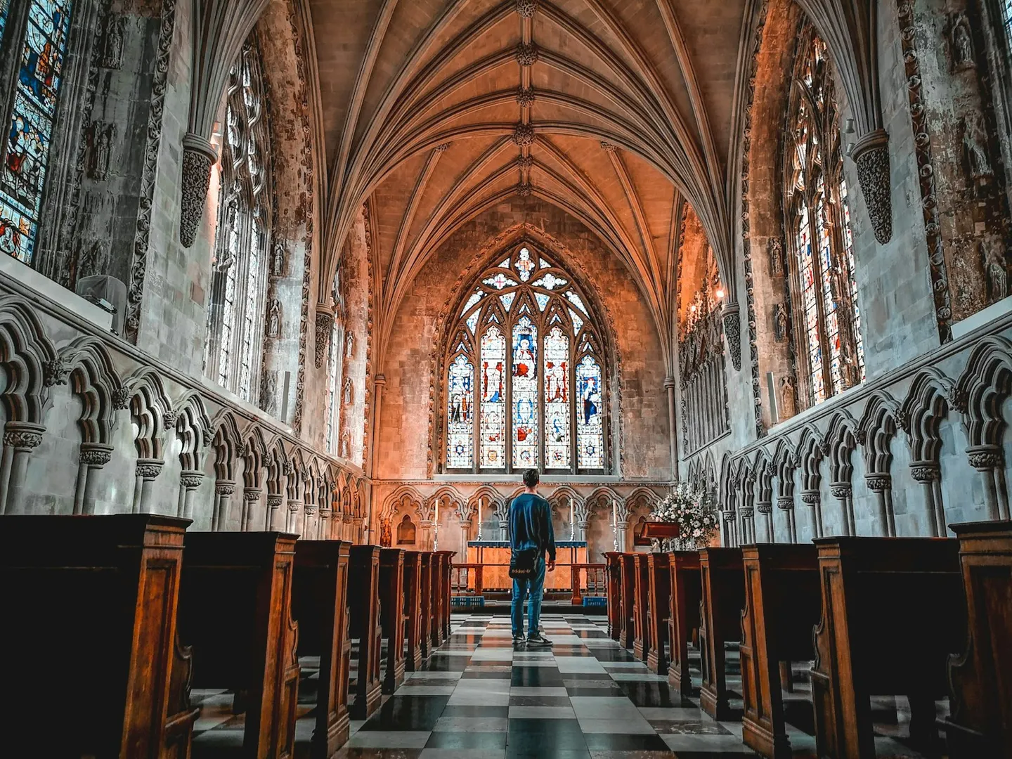
Places to explore near St Albans
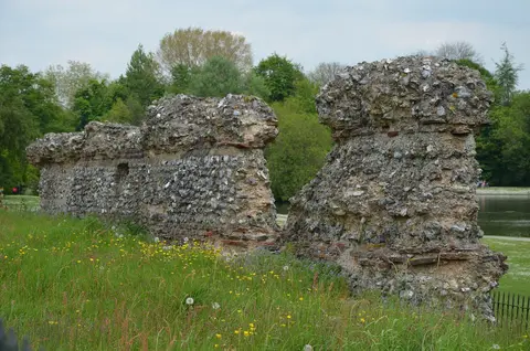
Roman Verulamium was one of the largest towns in Britain, and its walls and mosaics still lie in the parkland below modern St Albans; the cathedral above marks the spot where Alban, the first British martyr, was executed. The remains of the Roman city edge a lake in the valley of the Ver. North and west the chalk of the Chilterns begins, with the beech woods and commons of the Ashridge Estate running up to Ivinghoe Beacon and the flowery slopes of Aldbury Nowers.
103 places within 25 km — the standouts first, nearest first within each group. 2 are national icons.
Worth the tripnational icons and local highlights within reach
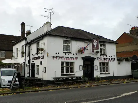
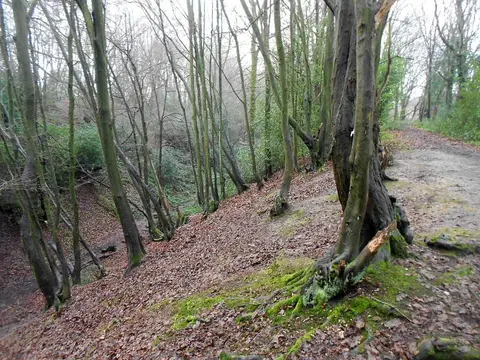
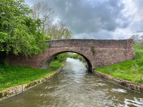
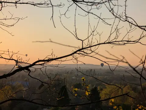
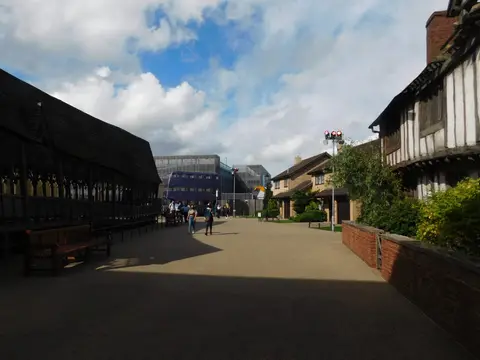
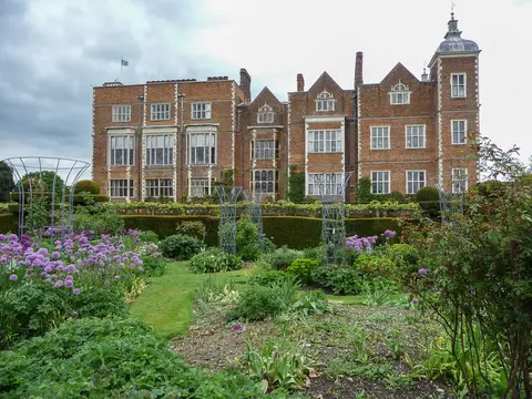
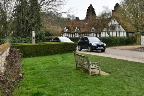
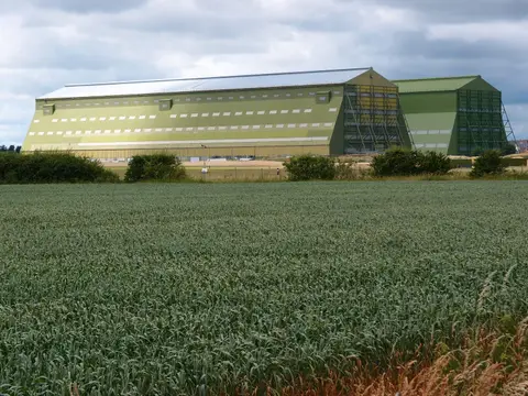
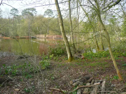
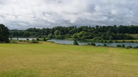
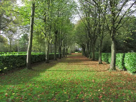
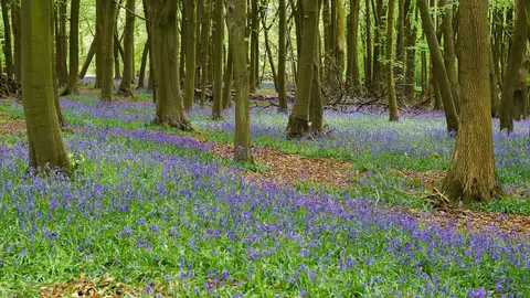
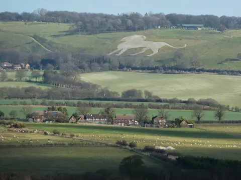
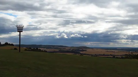
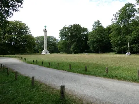
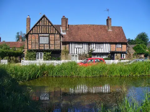

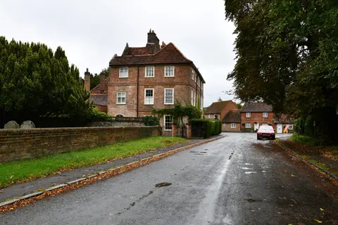
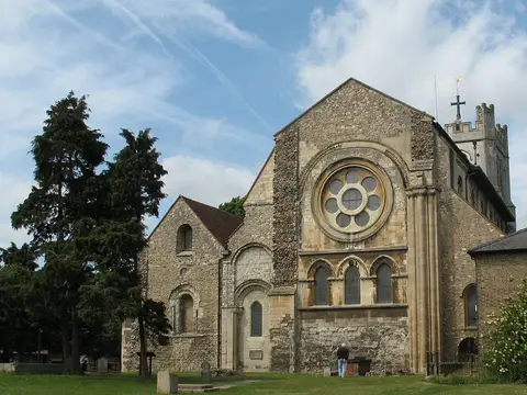
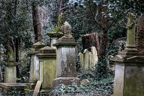
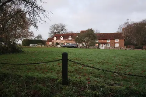
Also nearbygood places nearby, nearest first
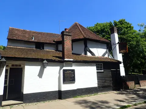
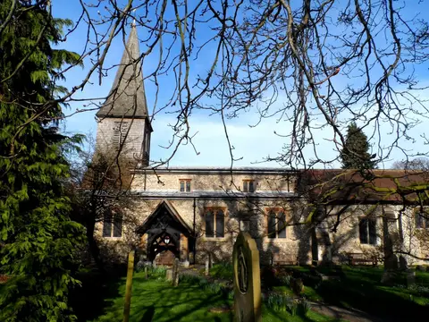
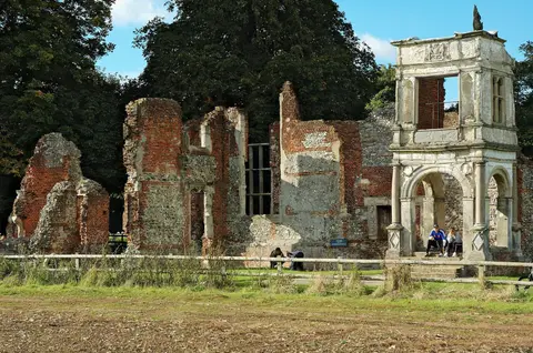
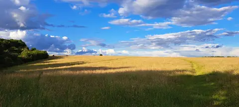
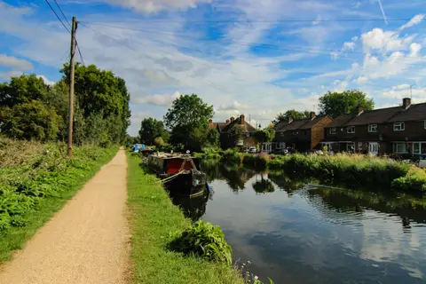
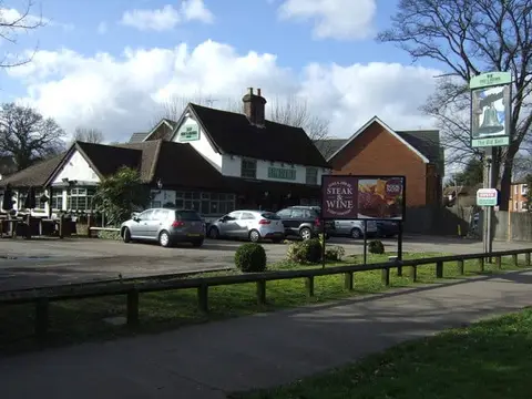
Everything else within 25 km (58) — reserves, earthworks & places to check before travelling
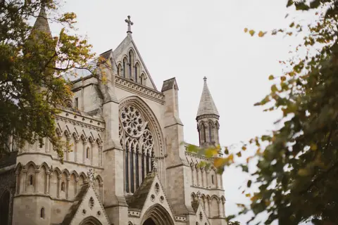
- St Etheldreda's ChurchChurch8.8 km E
- Roughdown CommonSSSI10 km W
- Shaw's CornerHouse & garden10.5 km NE
- Aldenham Country ParkCountry park11 km S
- London LOOPLong-distance path11.2 km S
- Mad Squirrel BreweryBrewery11.7 km W
- The White Hart (Welwyn)Pub12.1 km NE
- Morven ParkCountry estate12.7 km SE
- SarrattVillage13 km SW
- Northaw Great Wood Country ParkCountry park13.1 km E
- Alford ArmsPub13.3 km W
- Stanmore Country ParkCountry park13.6 km S
- Luton Hoo Walled GardenHouse & garden13.9 km NW
- The Bricklayers ArmsPub14.3 km SW
- Lee NavigationRiver navigation15.2 km E
- The Bell (Studham)Pub15.2 km NW
- BerkhamstedVillage15.2 km W
- The LambPub15.9 km W
- Trent ParkCountry park16.4 km SE
- Abbey Gateway, St AlbansAbbeyaccess unclear0.4 km W
- Sopwell House or Lee HallPrioryaccess unclear0.9 km S
- Moor Mill Quarry, WestSSSIaccess unclear4.5 km S
- Bricket Wood CommonSSSI5.6 km S
- RedbournVillage6.5 km NW
- WheathampsteadVillage7.4 km NE
- Redwell WoodSSSIaccess unclear7.6 km SE
- Water End Swallow HolesSSSIaccess unclear8.5 km E
- Castle Lime Works QuarrySSSIaccess unclear9.2 km SE
- South Mimms motteEarthworks of a former castleaccess unclear9.4 km SE
- Dominican PrioryPrioryaccess unclear9.4 km SW
- Gadebridge Roman villaRoman archaeological siteaccess unclear9.8 km W
- Sherrardspark WoodSSSIaccess unclear10 km NE
- Boxmoor House Roman villaRoman archaeological siteaccess unclear11 km W
- Westwood QuarrySSSIaccess unclear11 km SW
- Whippendell WoodSSSIaccess unclear11.2 km SW
- Luton HooHouse & gardenaccess unclear11.7 km N
- Dicket Mead Roman villaRoman archaeological siteaccess unclear12.4 km NE
- Lockleys Roman villaRoman archaeological siteaccess unclear12.7 km NE
- Little Heath PitSSSI13 km W
- TewinburySSSIaccess unclear13.1 km NE
- Someries CastleCastleaccess unclear13.2 km N
- Bushey HeathCounty topaccess unclear13.3 km S
- Croxley Common MoorSSSI13.6 km SW
- Bentley PriorySSSIaccess unclear14 km S
- Battle of BarnetBattlefield14.1 km SE
- Harrow WealdSSSI14.2 km S
- Sarratt BottomSSSIaccess unclear14.2 km SW
- Ashridge Commons and WoodsSSSI14.5 km W
- Frogmore MeadowsSSSIaccess unclear15 km SW
- Berkhamsted motteEarthworks of a former castle15.2 km W
- St Paul's Walden BuryHouse & gardenaccess unclear15.3 km N
- Dallow Downs and Winsdon HillSSSIaccess unclear15.3 km NW
- Knebworth WoodsSSSI15.5 km NE
- Chenies Place (Woodside)House & gardenaccess unclear15.7 km SW
- Moor ParkHouse & gardenaccess unclear15.8 km SW
- Alpine MeadowSSSIaccess unclear16 km W
- Broxbourne WoodsNational Nature Reserve16.2 km E
- Wormley-Hoddesdonpark Wood SouthSSSI16.2 km E
Ordered by how far each place is worth travelling for, then by distance. Distances are straight-line to the nearest edge of each place — paths wind, of course.