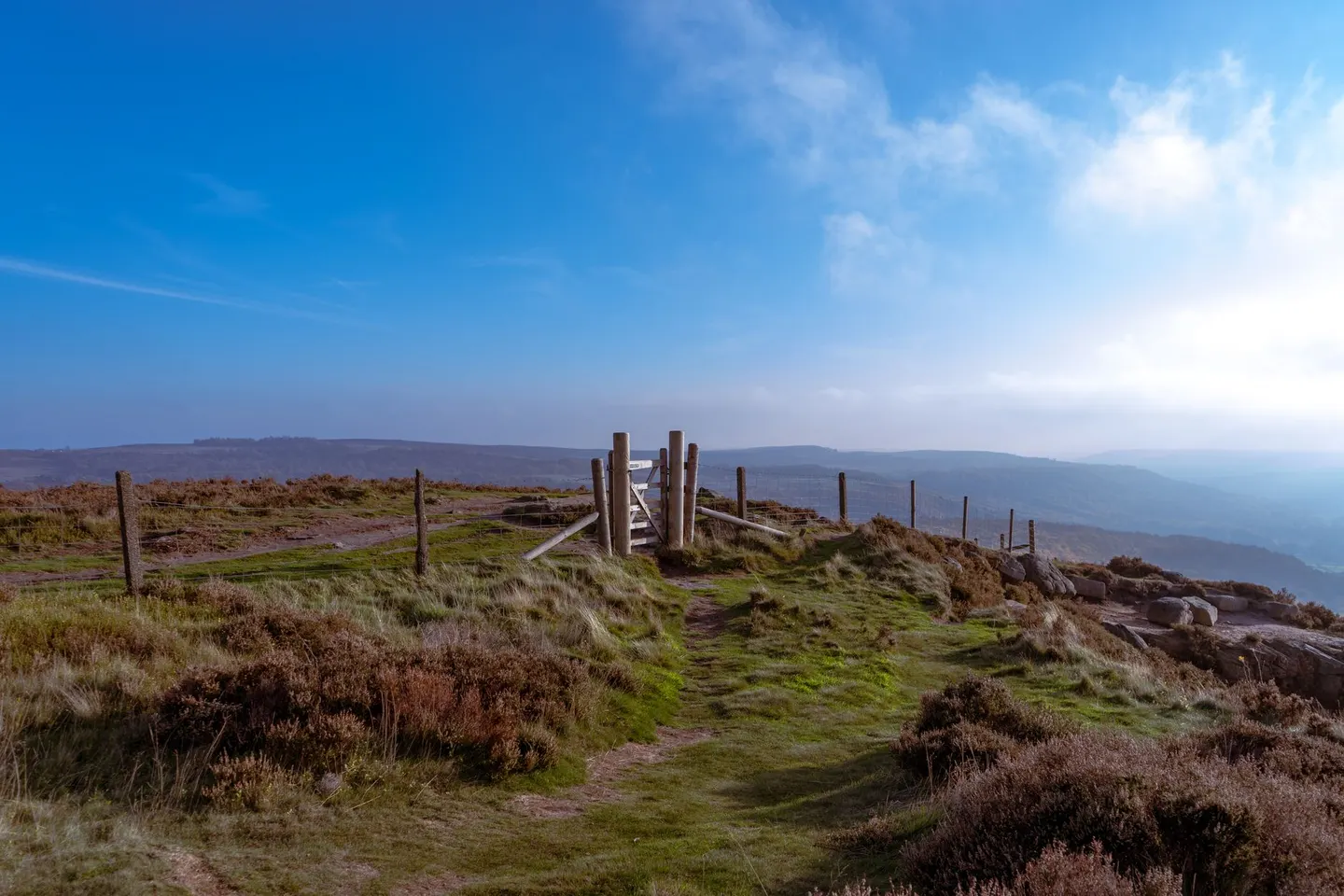
North York MoorsPhoto ANA TINCA / Pexels
Places to explore near Pickering
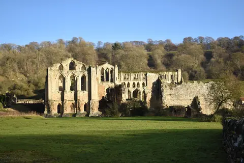
A market town on the southern edge of the North York Moors, Pickering keeps its Norman castle and a parish church lined with rare medieval wall paintings. The preserved steam railway runs north from the station through the wooded cleft of Newtondale towards Whitby, past the vast natural hollow of the Hole of Horcum and the moorland village of Levisham. West along the escarpment lie the great abbey ruin at Rievaulx and the castle at Helmsley, with the sudden view from Sutton Bank beyond.
97 places within 25 km — the standouts first, nearest first within each group. 3 are national icons.
Worth the tripnational icons and local highlights within reach
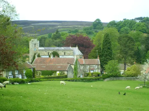
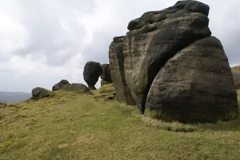
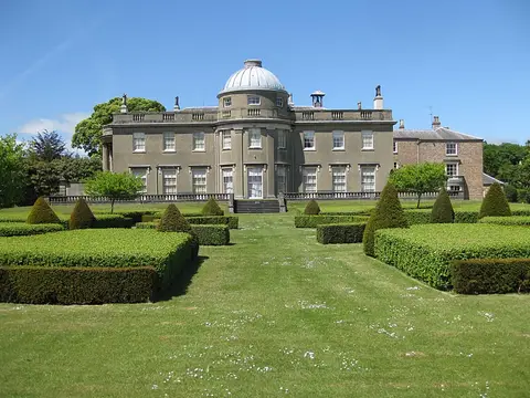
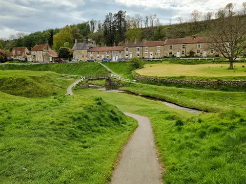
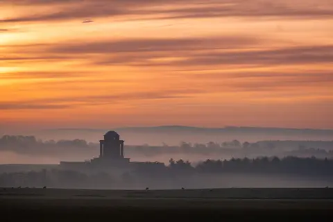
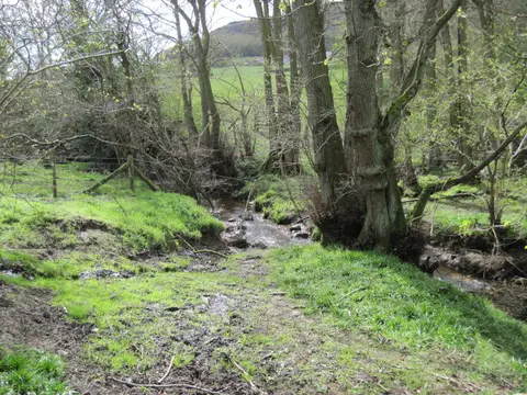
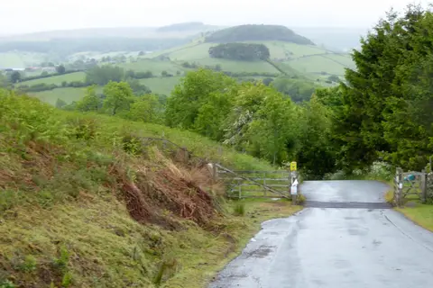
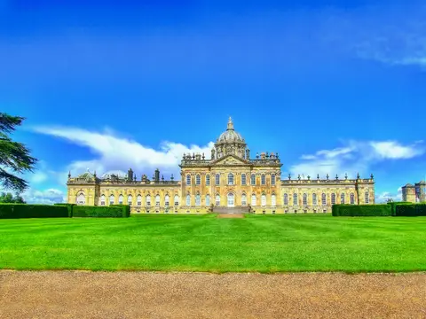
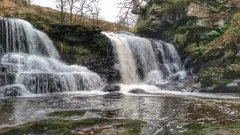
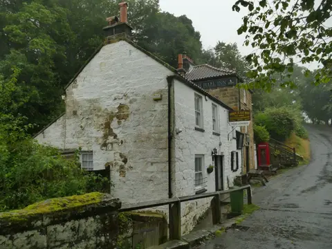
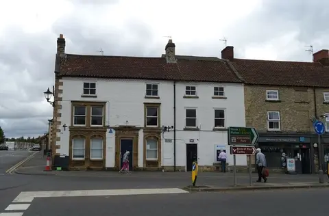
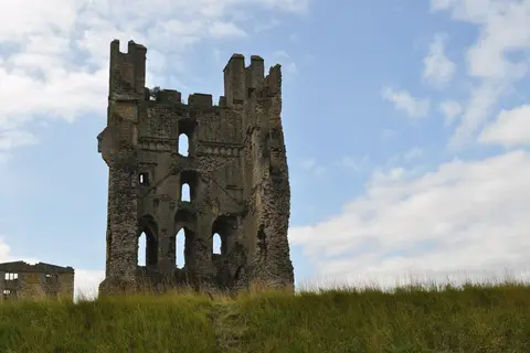
Also nearbygood places nearby, nearest first
Everything else within 25 km (58) — reserves, earthworks & places to check before travelling
- St Mary's Priory Church, Old MaltonPriory11.5 km S
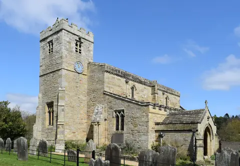
- St Gregory's Minster, KirkdaleChurch12.2 km W
- Yorkshire Wolds WayNational Trail13 km SE
- Nunnington HallHouse & garden13.5 km W
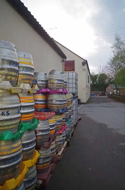
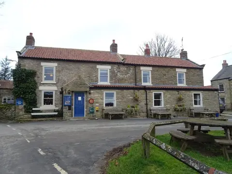
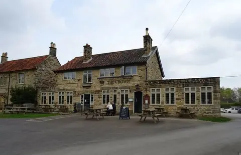
- The White Horse Farm InnPub13.6 km NW
- Rosedale AbbeyVillage14 km NW
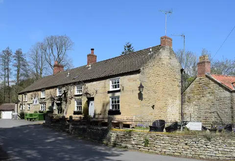
- The Anvil InnPub14.5 km E
- The Star Inn (Harome)Pub15.2 km W
- HaromeVillage15.2 km W
- Restaurant MýseRestaurant15.4 km SW
- Beadlam Grange Farm ShopFarm & farm shop15.6 km W
- Pickering CastleEarthworks of a former castle0.5 km N
- Beacon Hill siege castleEarthworks of a former castleaccess unclear0.6 km NW
- Newbridge QuarrySSSIaccess unclear1.1 km N
- NewtondaleSSSI1.8 km N
- Haugh and Gundale SlacksSSSI1.9 km N
- Ellerburn BankSSSI5.3 km E
- Ellers Wood and Sand DaleSSSI5.5 km E
- Bull IngsSSSIaccess unclear5.9 km NW
- Cropton Banks and Howlgate Head WoodsSSSIaccess unclear5.9 km NW
- The PortergateRoman archaeological siteaccess unclear6.2 km N
- NabgateSSSI6.4 km E
- The New Inn (Cropton)Pub6.4 km NW
- Green Lane PitSSSIaccess unclear6.6 km W
- Seive Dale FenSSSI6.6 km NE
- Cropton Hall GarthEarthworks of a former castleaccess unclear6.8 km NW
- Golden Hill PitSSSIaccess unclear7.4 km W
- Low CrossStanding stoneaccess unclear7.6 km NW
- Cawthorn MoorSSSI7.8 km N
- Flamborough Rigg Roman roadRoman archaeological siteaccess unclear8.5 km N
- The Ings, AmotherbySSSIaccess unclear9.5 km SW
- Ebberston HallHouse & gardenaccess unclear9.7 km E
- Bride StonesSSSI9.7 km NE
- Troutsdale and Rosekirk Dale FensSSSI10.5 km E
- Fairy Call BeckSSSI10.6 km NW
- KirkbymoorsideVillage10.6 km W
- Yedingham PrioryPrioryaccess unclear10.7 km SE
- Pickering Moor Roman roadRoman archaeological site11.4 km N
- Blakey Topping standing stonesStone row11.9 km NE
- Kirkdale CaveSSSIaccess unclear12 km W
- Derventio BrigantumRoman archaeological siteaccess unclear12.3 km S
- Malton CastleSite of a former castleaccess unclear12.4 km S
- Wintringham MarshSSSIaccess unclear12.8 km SE
- Slingsby CastleCastleaccess unclear13.7 km SW
- Sleightholme DaleSSSIaccess unclear13.7 km W
- Wheeldale Roman RoadRoman archaeological site14.1 km N
- Castle Hill fortified houseCastleaccess unclear14.8 km E
- East Heslerton BrowSSSI15 km SE
- Wath QuarrySSSIaccess unclear15.2 km SW
- The Pheasant HotelPub15.2 km W
- Ruston Cottage PastureSSSIaccess unclear15.5 km E
- Nunnington Cutting and QuarriesSSSIaccess unclear15.6 km W
- Three DykesSSSIaccess unclear15.7 km S
- Nine Spring DaleSSSI16 km SE
- LadyhillsSSSIaccess unclear16.2 km SE
- Beadlam Roman VillaRoman villaaccess unclear16.3 km W
- Beck HoleSSSI16.3 km N
- St Helen & All Saints Church, WykehamPrioryaccess unclear16.6 km E
Ordered by how far each place is worth travelling for, then by distance. Distances are straight-line to the nearest edge of each place — paths wind, of course.