
Angel of the NorthPhoto Boris YUE / Unsplash
Places to explore near Durham
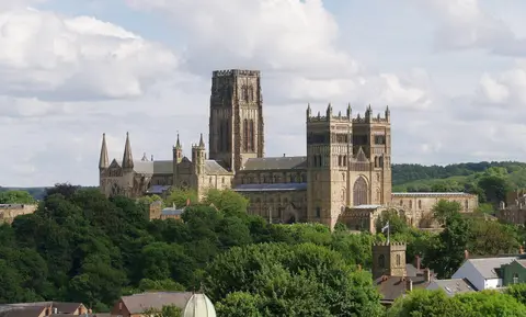
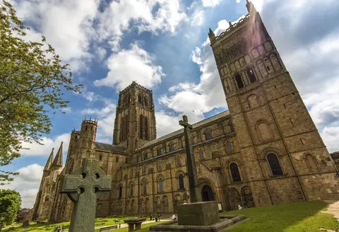
Durham grew around a great loop of the River Wear, where the Norman Durham Cathedral and its castle share a rock peninsula that together form a World Heritage Site — the cathedral holds the shrine of St Cuthbert. West of the city the land climbs into the North Pennines, England's high, quiet backbone. The Weardale Way follows the Wear towards its source, Teesdale opens to the south with its rare alpine flowers, and the river there tips over High Force, among the mightiest waterfalls in England.
100 places within 25 km — the standouts first, nearest first within each group. 7 are national icons.
Worth the tripnational icons and local highlights within reach


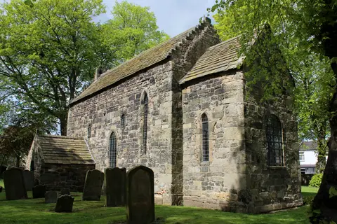
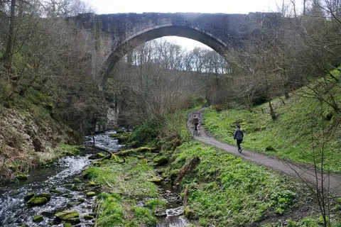

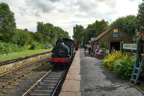
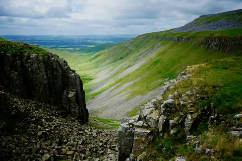
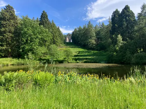
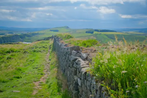



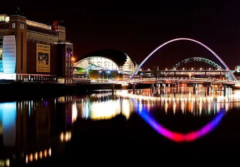
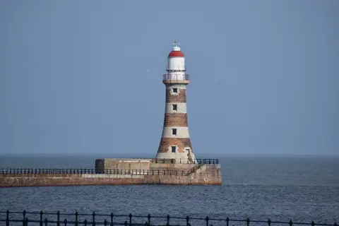
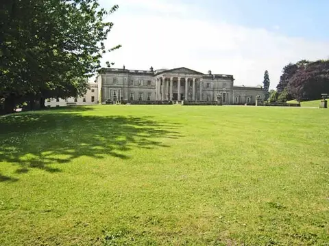
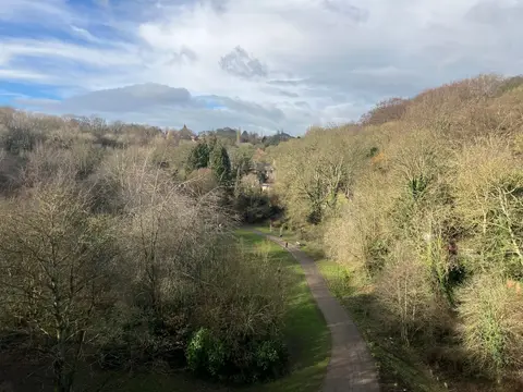
Also nearbygood places nearby, nearest first
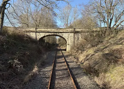
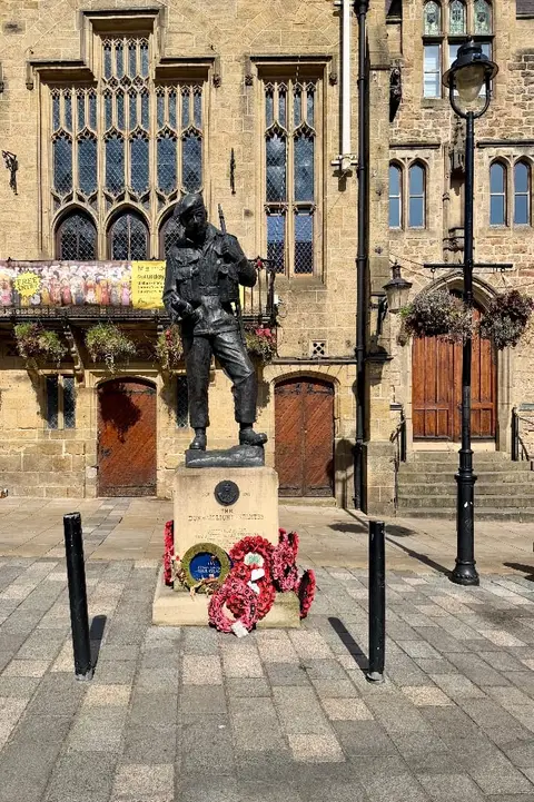
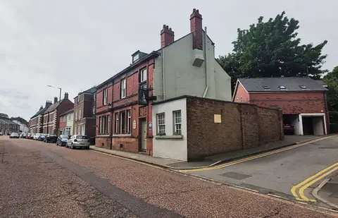
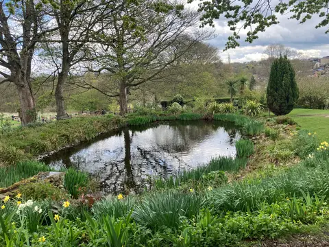
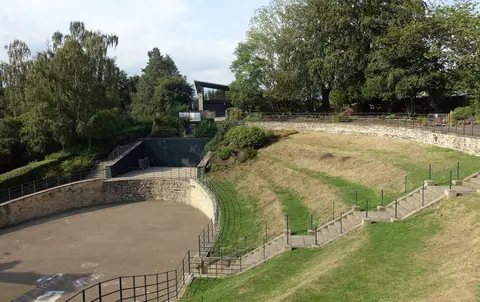
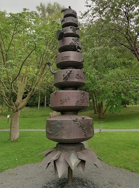
Everything else within 25 km (63) — reserves, earthworks & places to check before travelling
- BrancepethVillage6.1 km SW
- Waldridge Fell Country ParkCountry park6.7 km N
- St Brandon's Church, BrancepethChurch6.8 km SW
- Whitworth Hall Country ParkCountry park7.3 km SW
- Broom House Farm ShopFarm & farm shop7.8 km NW
- Hetton Lyons Country ParkCountry park9.3 km NE
- James Steel ParkCountry park11.7 km N
- Herrington Country ParkCountry park12 km NE
- Weardale CheeseFarm & farm shop12.5 km SW
- Auckland Castle deer shelterCastle13.3 km SW
- Windlestone Hall Country ParkCountry park13.3 km S
- The Shakespeare TavernPub0.1 km E
- The Head of SteamPub0.3 km NW
- Ye Olde Elm TreePub0.4 km W
- Maiden Castle (County Durham)Castleaccess unclear1.2 km SE
- Battle of Neville's CrossBattlefield1.6 km W
- Brasside PondSSSIaccess unclear2.9 km NE
- Butterby OxbowSSSIaccess unclear3.2 km S
- Croxdale HallHouse & gardenaccess unclear4.2 km S
- Moorhouse WoodsNature reserve4.8 km NE
- Sherburn HillSSSIaccess unclear5.2 km E
- Cassop ValeSSSI6 km SE
- Pittington HillSSSI6 km E
- CassopNational Nature Reserve6.2 km SE
- High MoorsleySSSIaccess unclear6.5 km NE
- Moorsley BanksSSSIaccess unclear6.8 km NE
- Crime Rigg QuarrySSSIaccess unclear6.9 km E
- Quarrington Hill GrasslandsSSSIaccess unclear7.7 km SE
- Joe's PondSSSIaccess unclear8.1 km NE
- Chester-le-StreetVillage8.7 km N
- Pig HillSSSIaccess unclear8.8 km E
- Concangium Roman fortRoman archaeological siteaccess unclear8.9 km N
- St Mary & St Cuthbert, Chester-le-StreetChurch8.9 km N
- Dabble BankSSSIaccess unclear9 km E
- Hetton BogsSSSIaccess unclear9.1 km NE
- Raisby Hill GrasslandSSSIaccess unclear9.2 km SE
- Raisby Hill QuarrySSSIaccess unclear9.5 km SE
- Castle Steads campCastleaccess unclear9.6 km W
- The BottomsSSSIaccess unclear9.6 km SE
- The CarrsSSSIaccess unclear9.7 km S
- Town Kelloe BankSSSIaccess unclear9.8 km SE
- Eppleton GrasslandSSSI10.2 km NE
- ThrislingtonNational Nature Reserve10.3 km S
- Wingate QuarrySSSI10.6 km SE
- Bishop Middleham QuarrySSSIaccess unclear11.2 km SE
- Trimdon Limestone QuarrySSSIaccess unclear11.2 km SE
- Tuthill QuarrySSSIaccess unclear11.2 km E
- Hesledon Moor WestSSSIaccess unclear11.4 km E
- Green Croft and Langley MoorSSSI11.5 km NW
- High Haining HillSSSIaccess unclear11.6 km NE
- Lanchester Roman fortRoman archaeological siteaccess unclear11.9 km W
- H3O Beach Saunas, SharpleySauna12.3 km NE
- Warden LawCounty topaccess unclear12.5 km NE
- Middleham Castle (County Durham)Castleaccess unclear12.6 km SE
- Charity LandSSSIaccess unclear12.6 km SE
- Herrington HillSSSIaccess unclear12.6 km NE
- Binchester Roman fortRoman archaeological siteaccess unclear12.8 km SW
- Hesledon Moor EastSSSIaccess unclear12.9 km E
- Fishburn GrasslandSSSIaccess unclear13 km SE
- Dawson's Plantation QuarrySSSIaccess unclear13.7 km NE
- Pockerley Farm PondSSSIaccess unclear13.9 km N
- Ridley GillSSSIaccess unclear14 km N
- South Causey InnPub14 km NW
Ordered by how far each place is worth travelling for, then by distance. Distances are straight-line to the nearest edge of each place — paths wind, of course.