Island of the Menai bridges, Beaumaris and a coast path all the way round.
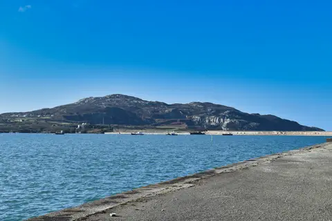
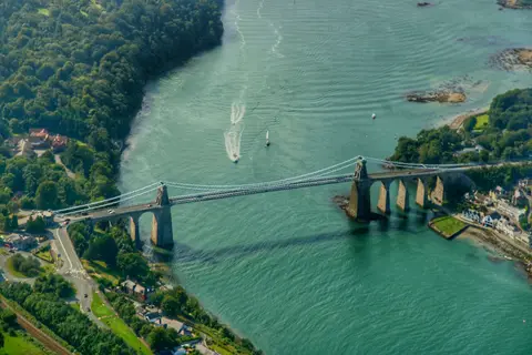
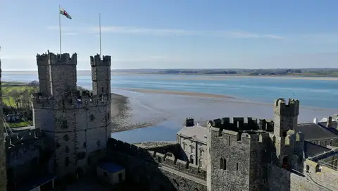
The road onto Anglesey, Ynys Môn in Welsh, crosses two bridges over the Menai Strait — the Menai Suspension Bridge, finished in 1826 to Thomas Telford’s design and the longest single span in the world at the time, and the Britannia road-and-rail bridge alongside it, rebuilt after a fire in 1970. Anglesey is the largest island in Wales, mostly flat farmland behind a coast path that runs the whole way round it, and Beaumaris Castle, at its eastern corner, is the last of Edward I’s great Welsh castles, its rings of walls and towers never quite finished before the money ran out.
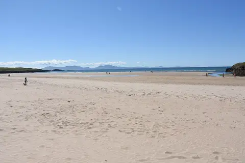
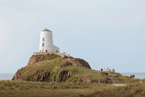
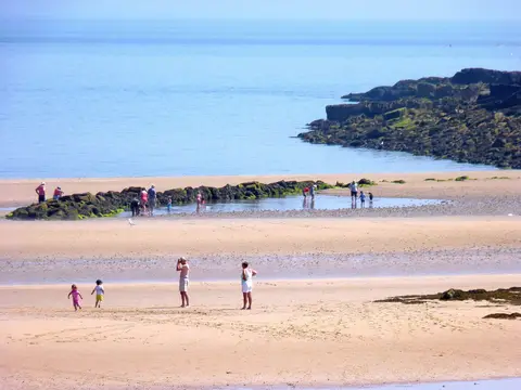
Newborough Beach, on the south-west coast, backs onto a forest planted last century to hold the dunes in place, with a track through the trees out to the tidal Llanddwyn Island and views across to Eryri. The whole island is recognised as a UNESCO Global Geopark, GeoMôn, for its rocks, some of the oldest in Britain, and the Wales Coast Path follows the coastline all the way round, flat enough to walk in short stretches without much climbing.
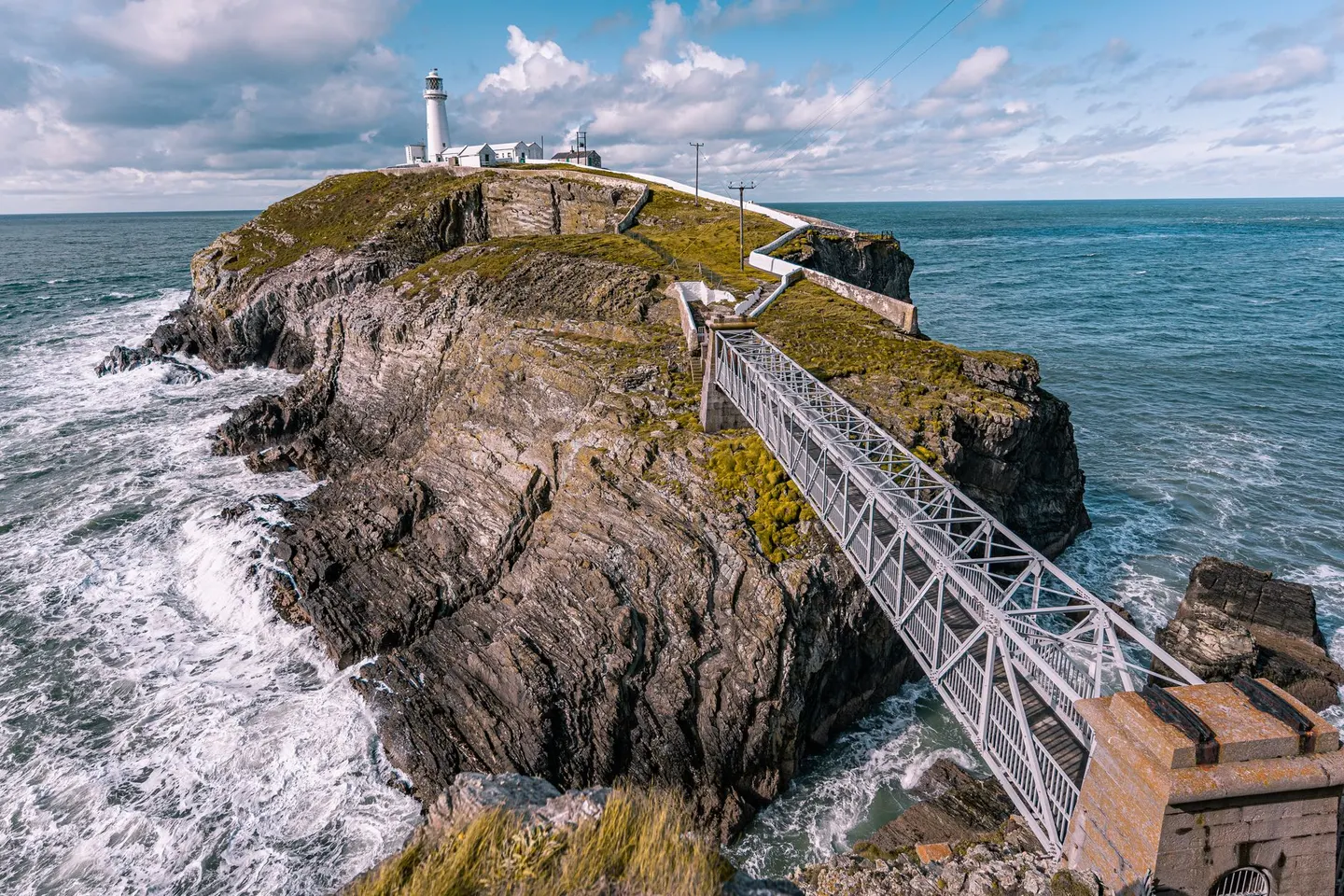
West of Llangefni, the county town, an embankment built by Telford carries the road and railway onto Holy Island, Anglesey, where trains for the Dublin ferries finish at Holyhead. On its far side, guillemots, razorbills and choughs nest on the cliffs at South Stack, around a lighthouse reached across a footbridge and down a long flight of steps.