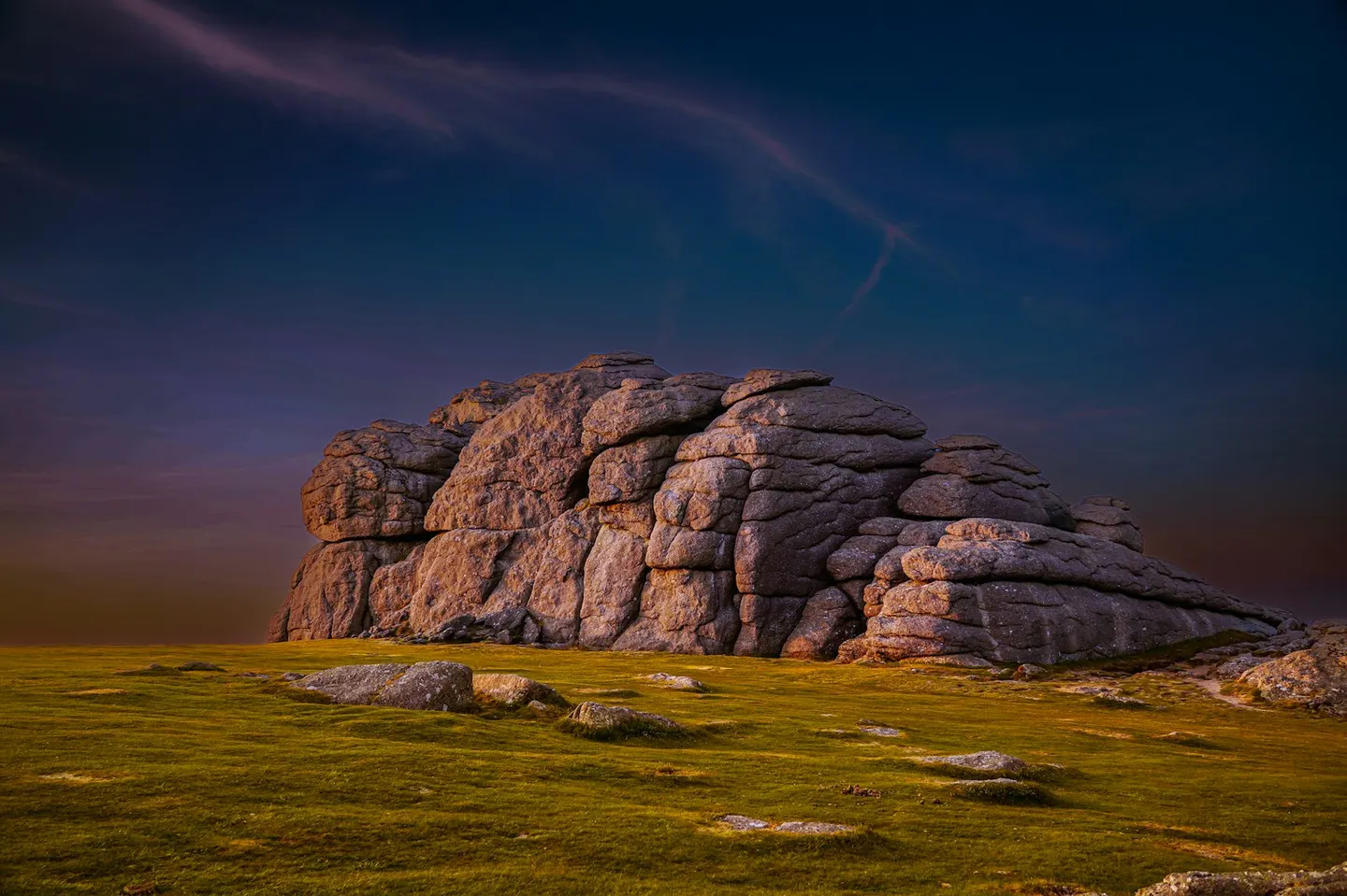
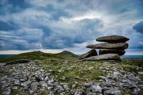
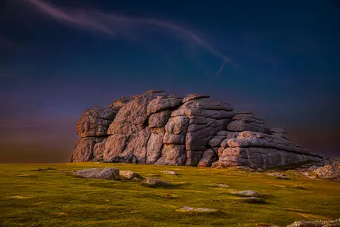
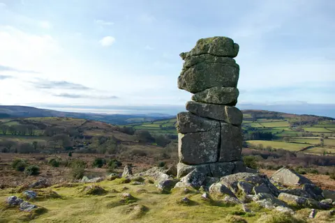
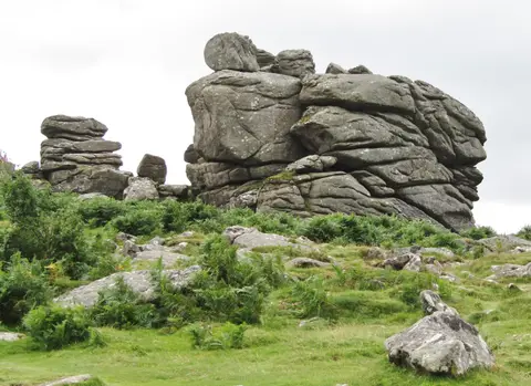
HaytorPhoto Nick Fewings / Unsplash
Places to explore near Exeter
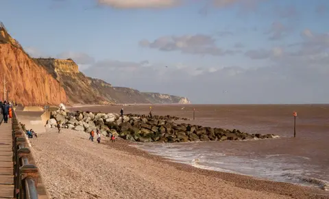
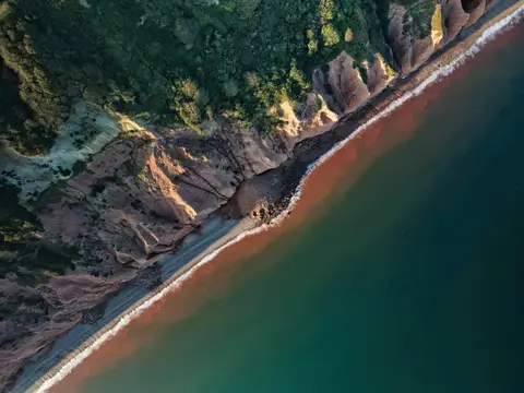
Devon's county town began as the Roman city of Isca, and its medieval cathedral, quayside and surviving stretch of Roman wall still anchor the centre on the River Exe. Two national landscapes lie within half an hour. The granite tors of Dartmoor rise to the west — Haytor and Hound Tor among the closest — while the red cliffs of East Devon mark the start of the Jurassic Coast. The Exe Estuary draws wintering birds downstream to Exmouth, and Haldon Forest crowns the ridge just south.
101 places within 25 km — the standouts first, nearest first within each group. 4 are national icons.
Worth the tripnational icons and local highlights within reach
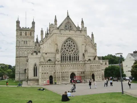
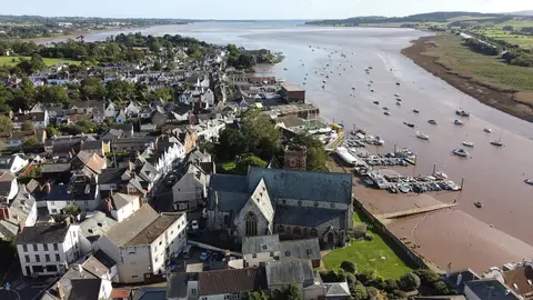
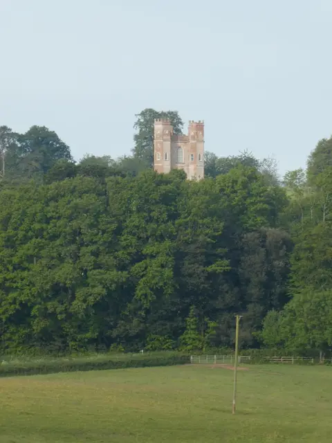
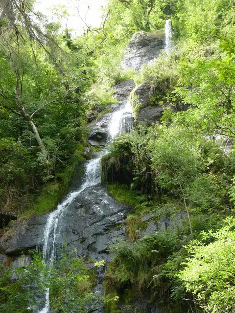
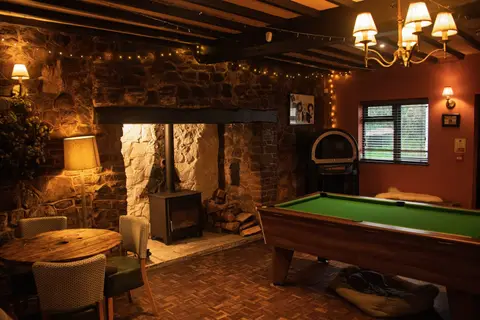
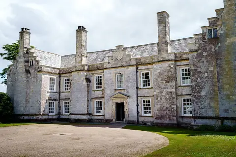
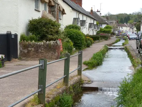
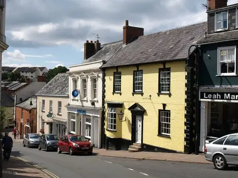
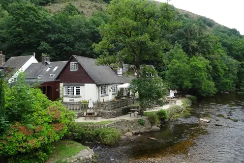
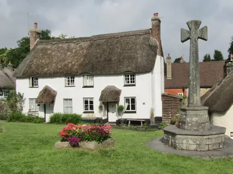
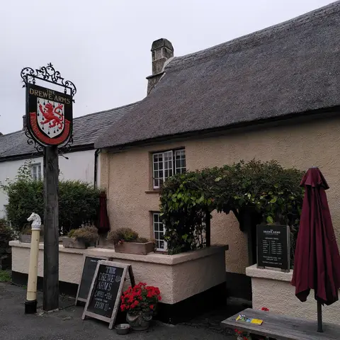
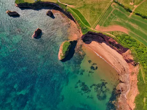
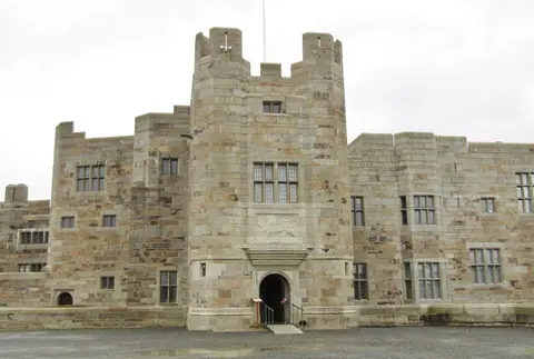
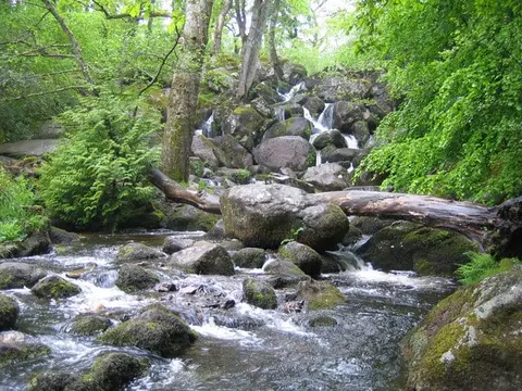
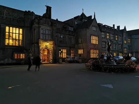
Also nearbygood places nearby, nearest first

Everything else within 25 km (61) — reserves, earthworks & places to check before travelling
- Sandford OrchardsFarm & farm shop11.1 km NW
- Teign Valley WoodsSSSI11.6 km W
- DunsfordVillage11.9 km W
- A la RondeHouse & garden12.2 km SE
- Lower Halsdon FarmCountry estate12.5 km SE
- Whimple Heritage CentreAttraction12.9 km E
- Courtney's of WhimpleFarm & farm shop12.9 km E
- Prickly PearCountry estate14 km E
- Ugbrooke ParkHouse & garden15 km S
- Dawlish WarrenSwimming spot15 km SE
- Little Haldon HeathsSSSI15.1 km S
- The Duck at YeofordPub15.4 km NW
- Yearlstone VineyardVineyard15.5 km N
- Lily Farm VineyardVineyard15.9 km SE
- Bicton Park Botanical GardensGarden16.2 km SE
- Two Moors WayLong-distance path16.9 km W
- East DevonHeritage Coast17.1 km SE
- Dartmoor Whisky DistilleryDistillery17.2 km SW
- Law Library, Cathedral YardCathedralaccess unclear0.2 km NW
- Rougemont Castle (Devon)Castleaccess unclear0.5 km NW
- St Nicholas' Priory (Devon)Prioryaccess unclear0.6 km W
- Danes CastleCastleaccess unclear0.9 km NW
- Bonhay Road CuttingSSSIaccess unclear0.9 km W
- St Katherine's PrioryPrioryaccess unclear2.3 km NE
- Signal stationRoman archaeological siteaccess unclear2.8 km N
- Stoke WoodsSSSI3.1 km N
- Stoke Hill CampHillfortaccess unclear3.2 km N
- Brampford SpekeSSSIaccess unclear5.4 km N
- Cotley CastleCastleaccess unclear6.9 km SW
- Webberton Cross QuarriesSSSIaccess unclear7 km SW
- Haldon ForestSSSI7.5 km SW
- Tower Wood QuarrySSSI8.2 km SW
- Buller's Hill QuarrySSSI8.8 km SW
- St Michael, DoddiscombsleighChurch8.8 km SW
- St John the Baptist, Higher AshtonChurch10.3 km SW
- Ryecroft QuarrySSSIaccess unclear11 km SW
- Mamhead ParkHouse & gardenaccess unclear11.4 km S
- Spara BridgeSSSIaccess unclear11.4 km SW
- Pebblebed HeathsNational Nature Reserve11.7 km E
- Posbury ClumpSSSIaccess unclear11.9 km NW
- You Can Sauna, MamheadSauna12 km S
- Woodbury CastleCastle12.1 km SE
- Posbury campCastleaccess unclear12.3 km W
- Cadbury CastleCastleaccess unclear12.8 km N
- Christ CrossMarilynaccess unclear13.4 km N
- Great Haldon HeathsSSSI13.4 km S
- Crockham QuarrySSSIaccess unclear13.7 km SW
- Lower Dunscombe Farm QuarrySSSIaccess unclear13.9 km S
- Chudleigh Caves and WoodsSSSIaccess unclear14.4 km S
- Castle Dyke campCastleaccess unclear14.7 km S
- Devon Community Sauna, ExmouthSauna14.9 km SE
- ExmouthSwimming spot15.2 km SE
- Belbury CastleEarthworks of a former castleaccess unclear15.3 km E
- Dawlish CliffsSSSIaccess unclear15.4 km S
- Castle Dyke, Little HaldonCastleaccess unclear15.5 km S
- Luscombe CastleHouse & gardenaccess unclear15.8 km S
- Wooston CastleCastleaccess unclear16 km W
- Dawlish TownSwimming spot16.3 km S
- Sandy BaySwimming spot16.8 km SE
- Chudleigh Knighton HeathSSSI16.8 km SW
- Dawlish Coryton CoveSwimming spot16.9 km S
Ordered by how far each place is worth travelling for, then by distance. Distances are straight-line to the nearest edge of each place — paths wind, of course.