Places to explore near Swindon
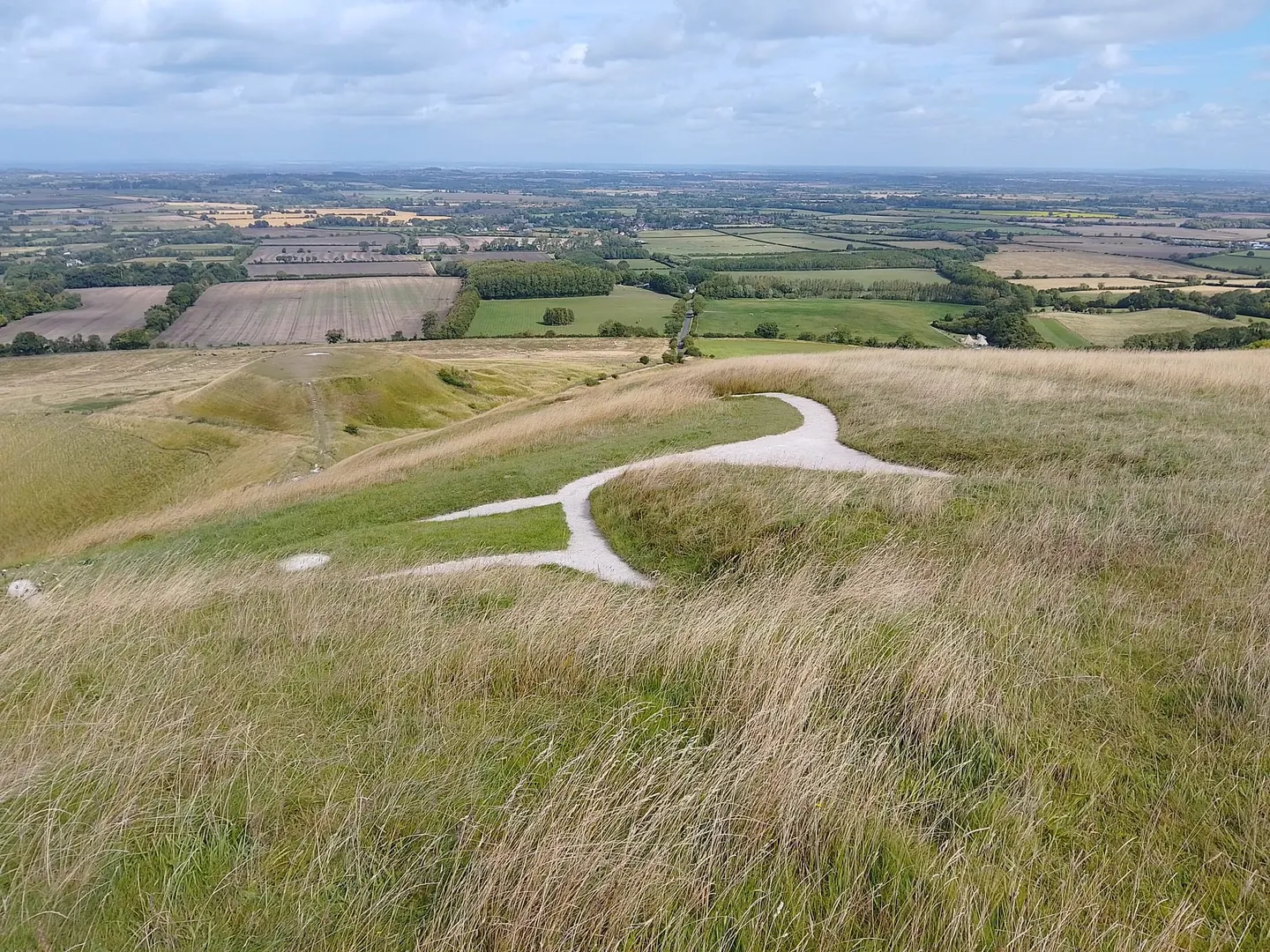
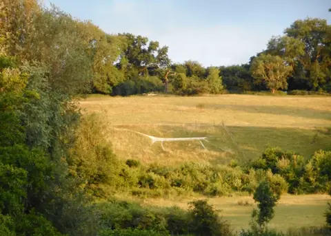
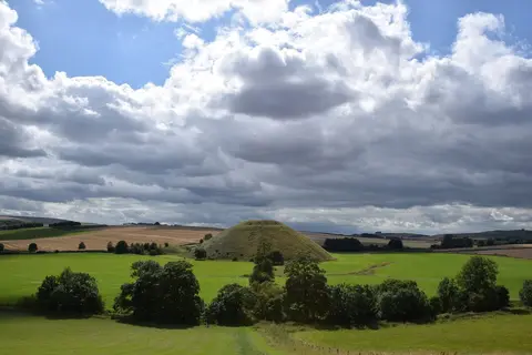
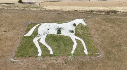
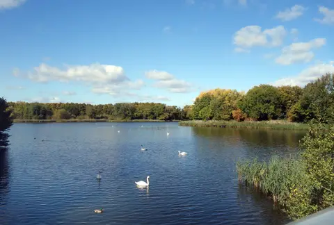
A Wiltshire market town transformed by the Great Western Railway, whose works and model village still mark its heart, Swindon sits on the northern edge of the chalk. The North Wessex Downs roll away south, crossed by The Ridgeway, Britain's oldest road, past the Iron Age ramparts of Barbury Castle. Deeper into the downs lie the great henge at Avebury and the mound of Silbury Hill, and the Uffington White Horse gallops across a hillside to the east. Coate Water sits on the town's own edge.
107 places within 25 km — the standouts first, nearest first within each group. 4 are national icons.
Worth the tripnational icons and local highlights within reach
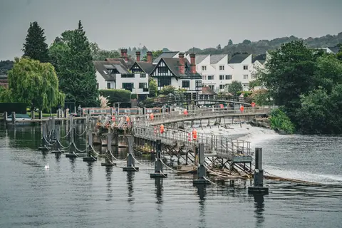
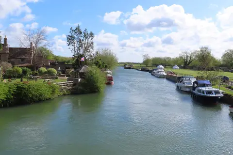
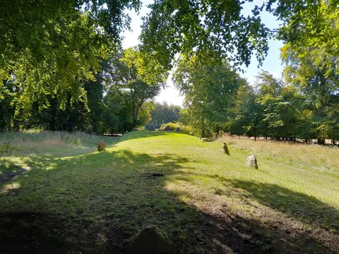
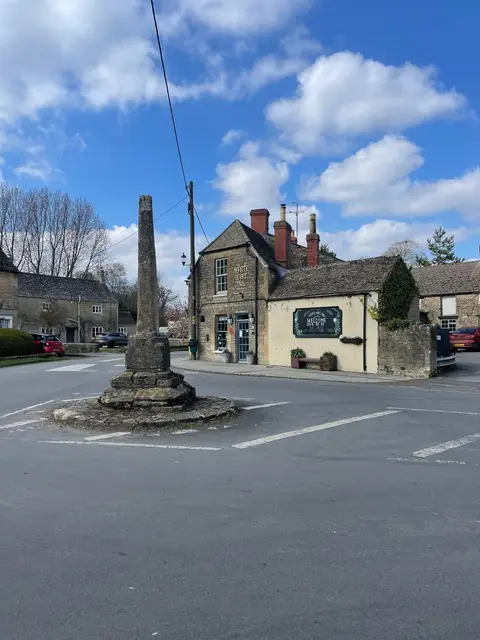
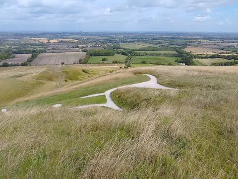
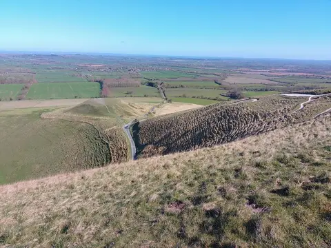
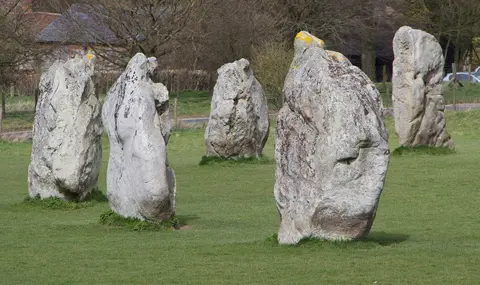
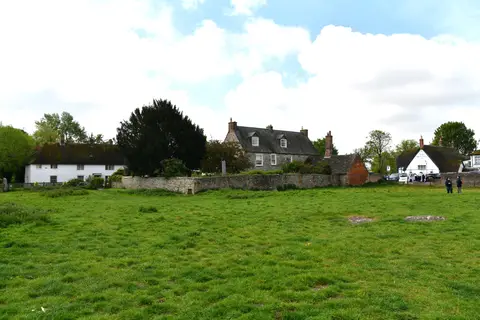
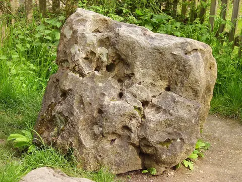
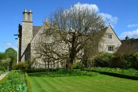
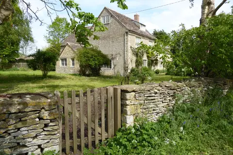
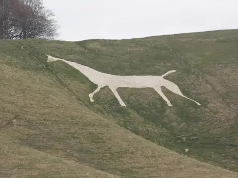
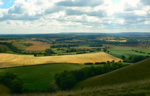
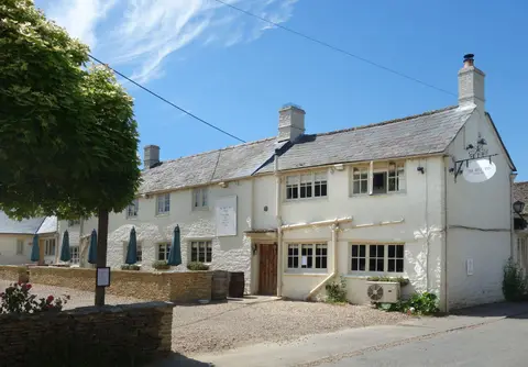
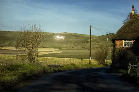
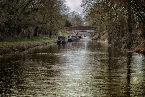

Also nearbygood places nearby, nearest first
Everything else within 25 km (55) — reserves, earthworks & places to check before travelling
- Wessex RidgewayLong-distance path12.8 km S
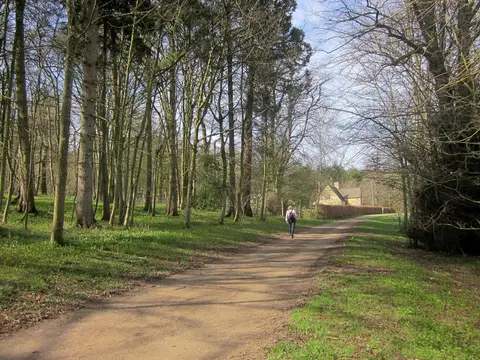
- Ashdown HouseHouse & garden13.2 km E
- AldbourneVillage14.2 km SE
- Buscot and Coleshill EstatesCountry estate14.9 km NE
- Whitehorse HillCounty top15 km E
- St John the Baptist, IngleshamChurch15 km N
- PiggledeneSSSI15.2 km S
- Poulton Hill EstateVineyard15.3 km N
- Alexander Keiller Museum, AveburyAttraction15.4 km S
- Keynes Country ParkCountry park16.2 km NW
- Great Quarry, SwindonSSSIaccess unclear0.7 km S
- Okus QuarrySSSIaccess unclear0.9 km SW
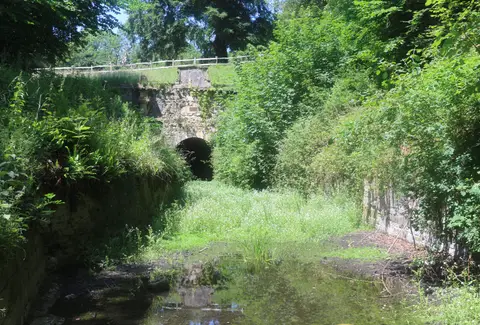
- Old Town Railway Cutting, SwindonSSSIaccess unclear1 km S
- Burderop WoodSSSIaccess unclear3.2 km S
- Day House Lane Stone CircleStone circleaccess unclear3.5 km SE
- Clout's WoodSSSIaccess unclear4.6 km S
- Haydon MeadowSSSI5.5 km NW
- Bincknoll Dip WoodsSSSIaccess unclear5.9 km SW
- St Mary's Church, PurtonChurch6.2 km NW
- Liddington CastleCastleaccess unclear7.3 km SE
- Goldborough Farm MeadowsSSSIaccess unclear7.4 km SW
- Restrop Farm and Brockhurst WoodSSSIaccess unclear7.6 km W
- Wootton Bassett Mud SpringSSSIaccess unclear7.9 km W
- Liddington HillCounty topaccess unclear8 km SE
- Ringsbury CampHillfortaccess unclear8.1 km W
- Broad TownVillage8.2 km SW
- Barbury CastleCastleaccess unclear8.5 km S
- Tuckmill MeadowsSSSI10.1 km NE
- Stoke Common MeadowsSSSIaccess unclear10.4 km NW
- Winterbourne Bassett Stone CircleStone circleaccess unclear10.6 km SW
- Bury Hill hillfortHillfortaccess unclear11 km NW
- North Meadow, CrickladeNational Nature Reserve11.2 km NW
- Fyfield DownSSSI12.5 km S
- Elmlea MeadowsSSSIaccess unclear12.6 km NW
- Alfred's CastleCastleaccess unclear12.7 km E
- Distillery Farm MeadowsSSSIaccess unclear13 km NW
- Ravensroost WoodSSSIaccess unclear13.1 km W
- Ashdown ParkSSSI13.2 km E
- Hardwell CampPromontory fortaccess unclear13.7 km E
- Lewisham CastleCastleaccess unclear13.9 km SE
- Hall's CloseEarthworks of a former castleaccess unclear14.4 km NW
- Pike CornerSSSIaccess unclear14.4 km NW
- Windmill Hill, AveburyAncient site14.6 km SW
- Parkfarm DownSSSIaccess unclear14.6 km E
- Uffington CastleHillfort14.8 km E
- Fognam Chalk QuarrySSSIaccess unclear15 km E
- Acres Farm MeadowSSSIaccess unclear15.1 km NW
- Fernham MeadowsSSSIaccess unclear15.2 km NE
- Wildmoorway MeadowsSSSIaccess unclear15.2 km NW
- Emmett Hill MeadowsSSSIaccess unclear15.3 km NW
- Falkner's CircleStone circleaccess unclear15.6 km S
- Whelford MeadowSSSIaccess unclear15.6 km N
- Clattinger FarmSSSIaccess unclear16.1 km NW
- Cloatley FarmSSSIaccess unclear16.1 km W
- Bradenstoke PrioryPrioryaccess unclear16.4 km W
Ordered by how far each place is worth travelling for, then by distance. Distances are straight-line to the nearest edge of each place — paths wind, of course.