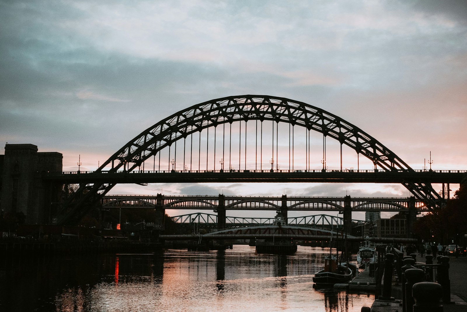
Photo Loujane Alasi / Unsplash
Places to explore near Newcastle upon Tyne
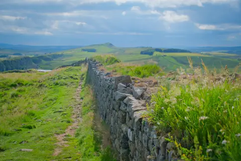
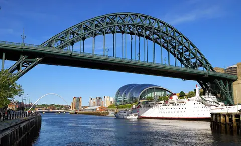
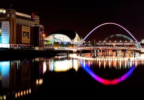
Coal and shipbuilding made Newcastle, and its bridges still stride the deep gorge of the Tyne, the river that named the city. Antony Gormley's Angel of the North stands guard to the south. Beyond, the empty uplands of Northumberland run to The Cheviot and the forest and dark skies of Kielder Water. East and north lies a coast of castles and clean sand, from Tynemouth up the Northumberland Coast, while Hadrian's Wall sets off westward from the city.
96 places within 25 km — the standouts first, nearest first within each group. 9 are national icons.
Worth the tripnational icons and local highlights within reach
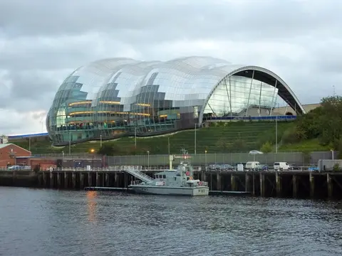
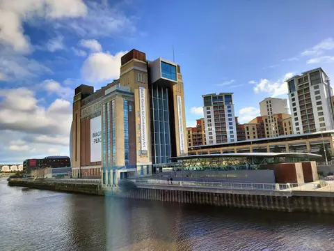
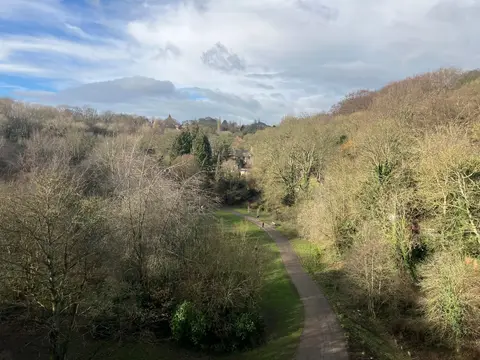

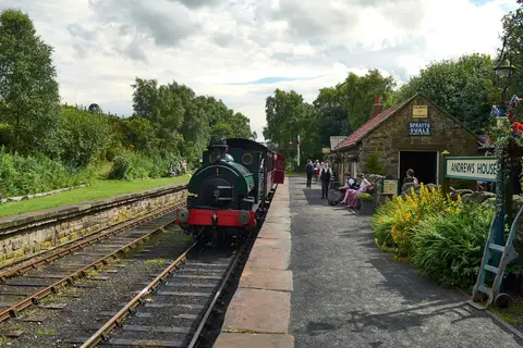
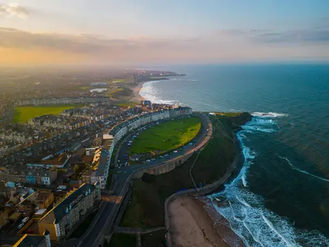
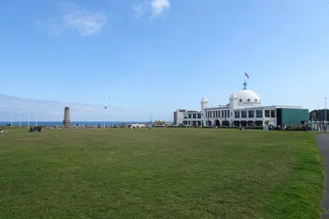
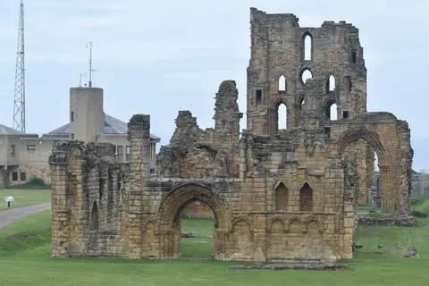
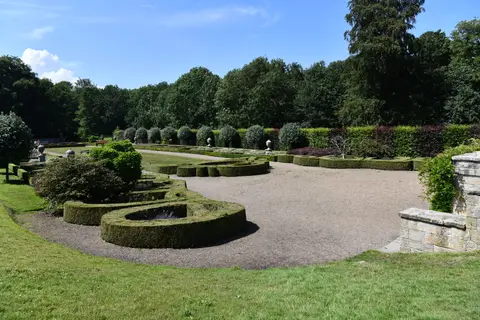
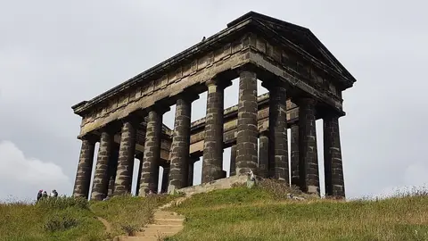
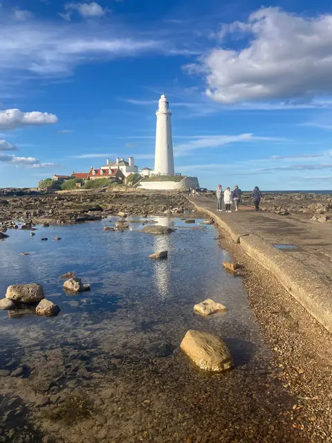
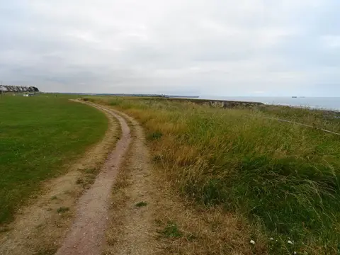
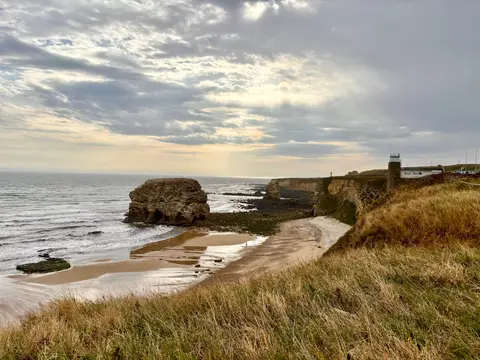
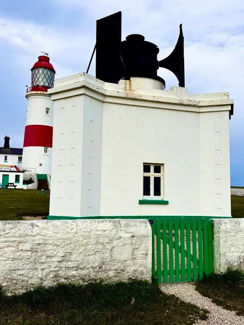
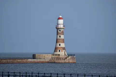
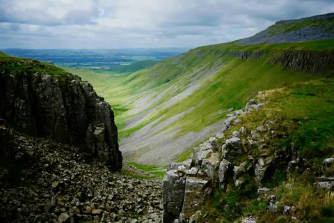
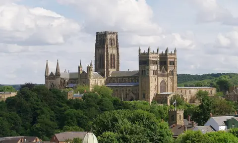
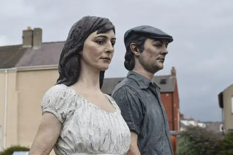
Also nearbygood places nearby, nearest first
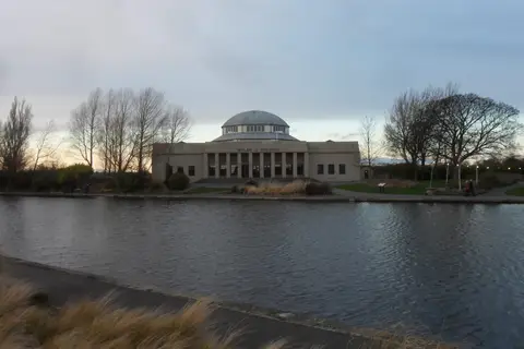
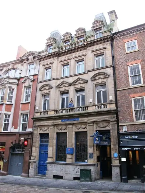
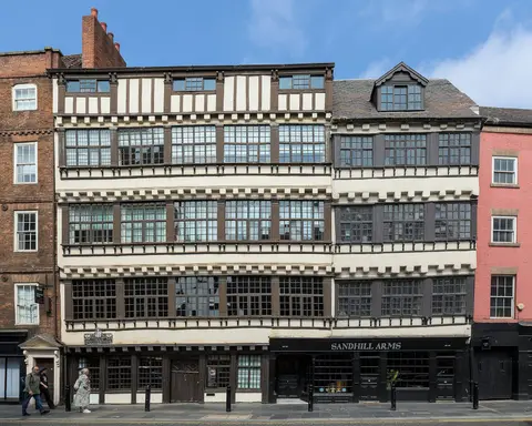
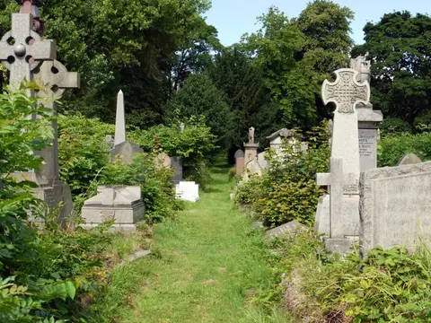
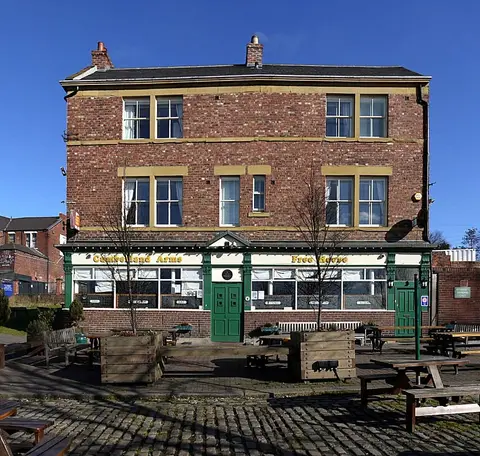
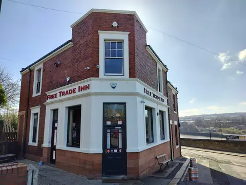
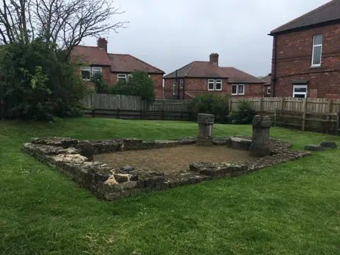
Everything else within 25 km (58) — reserves, earthworks & places to check before travelling
- Saltwell ParkGarden3.9 km S
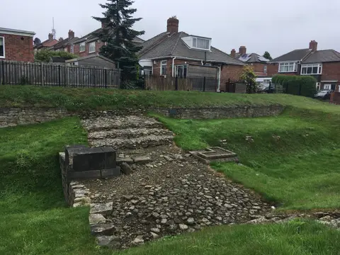
- Denton Hall Turret, Hadrian's WallFrontier wall5 km W
- Derwenthaugh Country ParkCountry park5.1 km SW
- Derwent Walk Country ParkCountry park5.4 km SW
- Rising Sun Country ParkCountry park5.9 km NE
- Weetslade Country ParkCountry park7.5 km N
- Tyne Green Country ParkCountry park8.2 km W
- St Paul's Church, JarrowChurch9.3 km E
- Tyne Riverside Country ParkCountry park9.8 km W
- Gibside ChapelChurch9.9 km SW
- Washington Old HallHouse & garden10.6 km SE
- Heddon-on-the-Wall, Hadrian's WallFrontier wall11.3 km W
- King Charles III England Coast PathNational Trail11.4 km E
- George Stephenson's BirthplaceHouse & garden11.9 km W
- James Steel ParkCountry park12.2 km SE
- Weardale WayLong-distance path12.5 km SE
- Northumberland Cheese CompanyFarm & farm shop12.5 km N
- Hylton CastleCastle12.9 km SE
- Durham Coast SSSISSSI13 km E
- WylamVillage13 km W
- The FriarsFriaryaccess unclear0.7 km S
- St Nicholas' Cathedral, NewcastleChurch1 km SE
- The Bridge TavernPub1.2 km SE
- The Broad CharePub1.3 km SE
- Bill Quay Community Farm Country ParkCountry park5 km SE
- Gosforth ParkSSSIaccess unclear5.2 km N
- Shibdon PondSSSIaccess unclear5.3 km W
- Washingwells Roman fortRoman archaeological siteaccess unclear5.4 km SW
- Ravensworth quadrangular castleCastleaccess unclear5.9 km S
- Westerhope Hill HeadsCounty topaccess unclear6.1 km W
- Lower Derwent MeadowsSSSI6.3 km SW
- Thornley WoodSSSI7.5 km SW
- Battle of Newburn FordBattlefield8.3 km W
- Big WatersSSSIaccess unclear8.5 km N
- Hallow HillSSSI8.5 km W
- Ryton WillowsSSSI8.5 km W
- Silverlink ParkCounty topaccess unclear8.7 km NE
- Causey Bank MiresSSSIaccess unclear9 km SW
- Ridley GillSSSIaccess unclear9.1 km S
- Pockerley Farm PondSSSIaccess unclear9.6 km S
- Brenkley MeadowsSSSIaccess unclear9.7 km N
- Arcot Hall Grassland and PondsSSSIaccess unclear10.2 km N
- Prestwick CarrSSSIaccess unclear10.4 km NW
- Darras Hall GrasslandSSSIaccess unclear10.8 km NW
- Vicar's PeleTower houseaccess unclear11.3 km NW
- Close House RiversideSSSIaccess unclear11.3 km W
- Strother HillsSSSIaccess unclear11.3 km SW
- South Causey InnPub11.3 km SW
- Boldon HillsCounty topaccess unclear11.4 km SE
- West Farm Meadow, BoldonSSSIaccess unclear11.4 km E
- ArbeiaRoman archaeological siteaccess unclear12.3 km E
- Holywell PondSSSIaccess unclear12.4 km NE
- Northumberland ShoreSSSI12.4 km E
- H3O Beach Saunas, Little HavenSauna12.7 km E
- New Hartley PondsSSSIaccess unclear12.8 km NE
- Littlehaven BeachSwimming spot12.9 km E
- Hylton Castle CuttingSSSIaccess unclear12.9 km SE
- Platform 2Pub12.9 km E
Ordered by how far each place is worth travelling for, then by distance. Distances are straight-line to the nearest edge of each place — paths wind, of course.