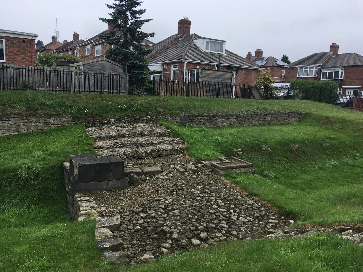
A Roman gateway of stone piers where a road once crossed the Vallum, the ditch that marked the rear of Hadrian's Wall's military zone
Open accessfree to visit at any reasonable time
Substantial ruinsruined, but plenty survives above ground
Just south of where Benwell’s Roman fort once stood, a stretch of Roman paving marks where the approach road crossed the Vallum, the Romans’ ditch-and-bank boundary line behind Hadrian’s Wall, the only crossing point still visible anywhere along its length. Halfway across was a gate, a stone archway on two heavy piers. Three layers of resurfacing point to heavy use over the years, the top layer holding a coin from the 270s AD. One of the paving stones was reused from a carved cornice, evidence the gate still had working wooden doors that late in the Wall’s life. The western gate-pier base, the pivot stone and the part-filled Vallum ditch alongside are open to see from outside, close to Benwell Roman Temple.