Areas
Routes
Natural spots
Historic places
Villages & landmarks
Near you
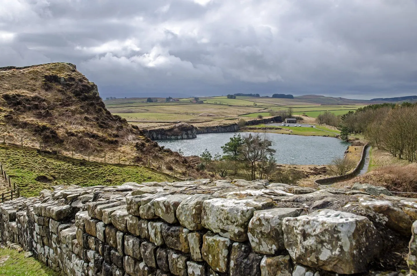
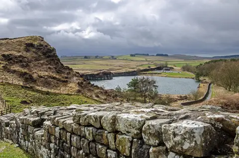
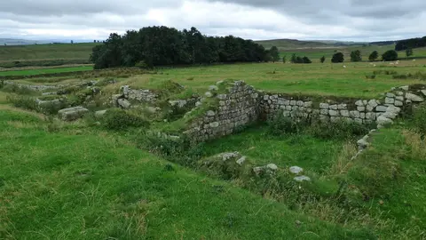
Cawfields Roman Wall© Sebastian Mierzwa / Wikimedia Commons · CC BY-SA 4.0
Hadrian's Wall and the Antonine Wall — the edges of empire. 50 on the map.
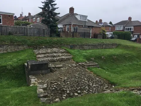
Stone causeway carrying the road to Benwell fort over the Vallum ditch, the only such crossing still visible anywhere along Hadrian's Wall.
Tyne and Wear
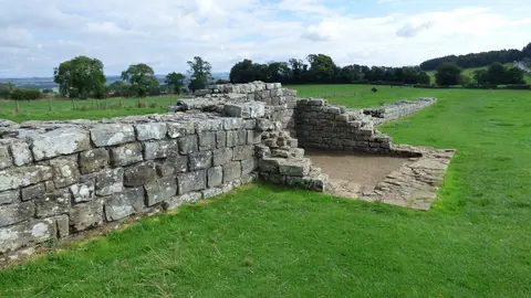
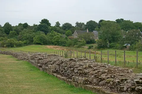
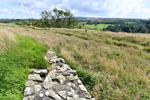
A 460-metre run of Hadrian's Wall with turret 29a, crossing open farmland west of Chollerford towards Limestone Corner.
Northumberland
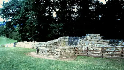
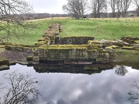
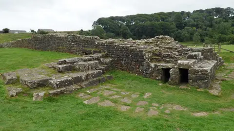
Turret 26b south of Chollerford, still about 2.5 metres high, built by the Twentieth Legion, where a later, narrower Wall butts onto its broad wings.
Carrawburgh Roman fort and Hadrian's Wall and vallum between the field boundary east of the fort and the field boundary west of Coventina's Well in wall mile 31
Carvoran Roman fort and Hadrian's Wall and vallum between the unclassified road to Old Shield and the field boundary west of the fort in wall miles 45 and 46
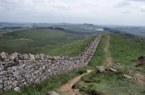
Hadrian's Wall rising and dipping along the Whin Sill crags near Haltwhistle, with milecastle 42 built on a sharp incline near a flooded quarry.
Huge dressed stones of the Roman bridge that took Hadrian's Wall over the North Tyne, seen best on the east bank facing Chesters fort.
The best-preserved cavalry fort on Hadrian's Wall, with its riverside bath house and museum.
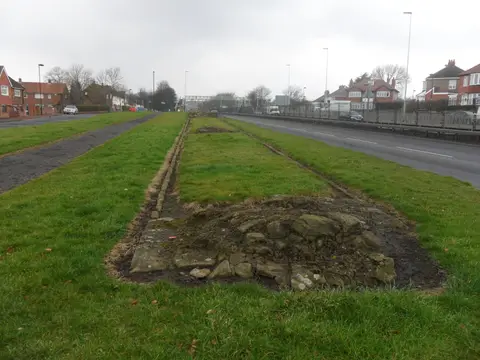
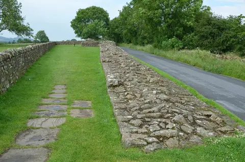
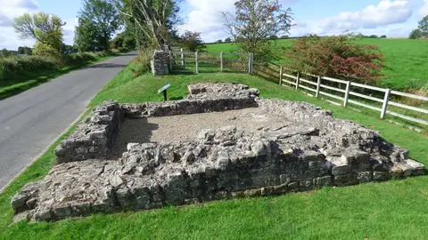
Low footings of turret 7b with a 65-metre run of broad Wall beside the busy West Road on Newcastle's western edge.
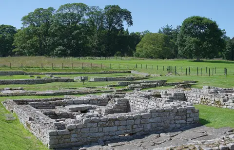
Cavalry fort with the best-preserved Roman bathhouse.
Haltonchesters Roman fort, settlement and Hadrian's Wall and vallum between the field boundary east of Haltonchesters fort and the Fence Burn in wall mile 21
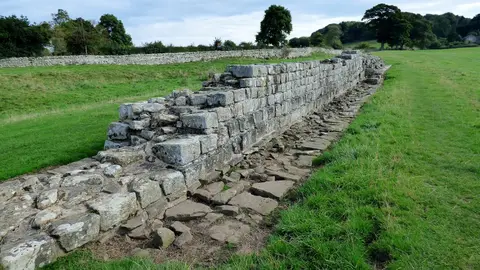
The best-preserved excavated length of the original Broad Wall, about 3 metres thick at Heddon, with a medieval corn-drying kiln built into it.
Short length of Hadrian's Wall near Wall village, a thinner curtain built on footings laid for a broader one before the builders changed plans.
Rudchester Roman fort, associated civil settlement and a section of Hadrian's Wall and vallum from the A69 to the March Burn in wall mile 13
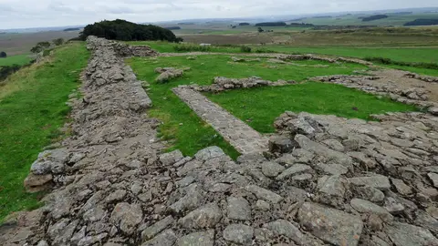
Crag-top stretch of Hadrian's Wall on the Whin Sill east of Housesteads, with a milecastle's footings and an old tale of King Arthur asleep beneath.
Highest point along Hadrian's Wall, 345 metres up on Winshields Crags above Steel Rigg, with far-reaching views on clear days.
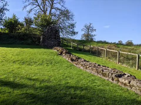
Turret 52a east of Banks, the best-preserved turret on the western stretch of Hadrian's Wall that was first built of turf.
Brampton (Cumbria)
Best-preserved Hadrian's Wall fort in Cumbria.
Haltwhistle
Burgh by Sands Roman fort, Beaumont camp, Burgh Castle and Hadrian's Wall from boundary west of churchyard, Beaumont to Burgh Head in wall miles 70 and 71
Carlisle
Eight Roman inscriptions in the Roman quarry in Combcrag Wood, 350m south of Hadrian's Wall
Drumburgh Roman fort and Hadrian's Wall between Burgh Marsh and Westfield House in wall miles 76 and 77
Annan
Tallest surviving piece of Hadrian's Wall, a short length near Banks standing up to 3 metres, though its facing was largely rebuilt in the 1800s.
Pair of stone turrets on Hadrian's Wall west of Birdoswald, where digging at Leahill found the straw floor and hearths its soldiers used.
Almost a kilometre of Hadrian's Wall dropping from Gilsland to the Irthing, ending at the massive abutment of the Roman bridge below Birdoswald.
Best-preserved fort on Rome's northern frontier.
Falkirk
Antonine Wall, 170m NNW to 305m NE of Falkirk High School
Antonine Wall and fort, railway line to 300m E of Westerwood steading
North Lanarkshire
Antonine Wall, N of Cumbernauld airfield to Wyndford Road
Antonine Wall, Rough Castle fort, annexe and Military Way
Antonine Wall, Wyndford Road to Castlecary
Antonine Wall, Bar Hill, rampart, ditch, fort and Military Way
East Dunbartonshire
The remains of a stretch of Roman wall in West Dunbartonshire.
West Dunbartonshire
The remains of a stretch of Roman wall in Falkirk.
Antonine Wall and fort, Castlecary
Antonine Wall, to N and NE of St Flannan's Church, Cleddans
Antonine Wall, Girnal Hill to B802 road, Croy
Antonine Wall, camp, fortlet, fort and settlement, Croy Hill
Antonine Wall, B802 to N of Cuilmuir View, Croy
Antonine Wall and Mumrills fort, Sandy Loan to A905, Falkirk
Antonine Wall, N of Whitehill Avenue, Hillhead, Kirkintilloch
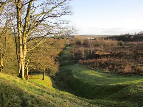
Antonine Wall,Nether Kinneil-Inveravon,rampart & ditch
Antonine Wall, Seabegs Wood, rampart, ditch and Military Way
Antonine Wall, W and E of Watling Lodge, Tamfourhill
Antonine Wall, Watling Lodge fortlet, Tamfourhill, Falkirk
Antonine Wall, N of Alexander Avenue, Twechar
The remains of a stretch of Roman wall in East Dunbartonshire.
Bearsden Station,Roman bath-house 400m NE of
Carrickstone,Roman altar,400m W of
Antonine Wall, fort and shell middens 240m WSW of The Tower, Inveravon