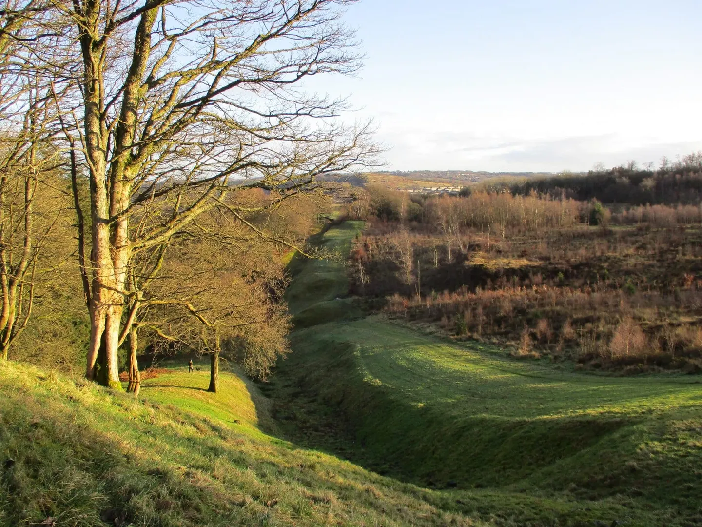
The turf-and-ditch frontier the Romans threw across central Scotland, its Falkirk stretch running past Kinneil above the Firth of Forth
Open to visitorsa Historic Environment Scotland site — many are free to wander; staffed ones charge and keep set hours
Substantial ruinsruined, but plenty survives above ground
For about twenty years in the middle of the second century AD, this line of turf and ditch marked the north-west edge of the Roman empire. The Antonine Wall ran roughly 37 miles coast to coast, from the Firth of Forth to the Clyde, built around AD 142 on the orders of the emperor Antoninus Pius. It was not stone like Hadrian’s Wall to the south but a bank of turf on a stone base, with a wide ditch dug in front and a road behind, and forts and smaller fortlets set along it. The Romans held the line only a generation before pulling back to Hadrian’s Wall, and the whole frontier is now a World Heritage Site.
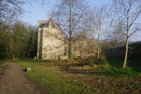
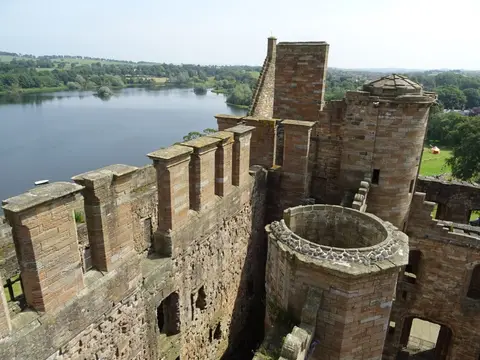
This scheduled stretch runs near Kinneil House & Estate above Bo’ness, where archaeologists dug up the low earthwork of a fortlet — a small guard post between the main forts — in the estate grounds. The rampart survives here as a grassy swell in the ground rather than anything dramatic; the best-preserved sections, with the ditch cut deep, lie further west near Falkirk at Rough Castle and Watling Lodge. The John Muir Way long-distance path runs alongside, and you can follow the frontier west to the next surviving length at Nether Kinneil. Linlithgow Palace is a short drive south-east if you want more history in the day.