Open accessScotland's right of responsible access applies
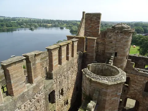
Substantial ruinsruined, but plenty survives above ground
Save this place
Inveravon Roman fort is one of twelve stretches of Roman frontier wall the Albion Guide maps in Falkirk. Polmont Station is 2.6 km away to the south-west. For more of the same, Antonine Wall, Nether Kinneil-Inveravon and Antonine Wall are close by.
Full name: Antonine Wall, fort and shell middens 240m WSW of The Tower, Inveravon