A firth-to-firth coastal walk through Fife's fishing villages, just as happy as a short afternoon out
Indicative — sampled from open terrain data along the simplified route.
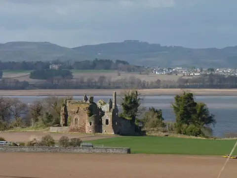
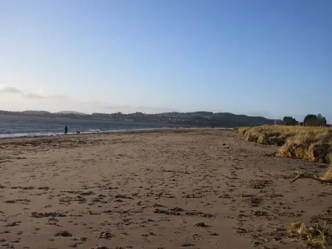
Running firth to firth, 187 kilometres from Kincardine on the Forth to Newburgh on the Tay, the Fife Coastal Path doesn’t ask to be done in one go. It’s one of Scotland’s Great Trails, threaded through fishing villages the whole way, which means a walk here can be a short afternoon out just as easily as a proper expedition — pick a village, park up, and go as far as feels right before turning back.
Much of the route stays close to sea level and follows established tracks and pavements through the villages, which makes stretches of it genuinely welcoming for pushchairs, dogs and less confident walkers, though a particular section is worth a look on the map in advance if that matters on the day, since not all of it is quite so gentle. Cliff-top sections further along can be more exposed to wind coming straight off the water, so a windproof layer is never wasted here even on an otherwise mild day.
For anyone wanting to add a hill to the itinerary, East Lomond, West Lomond and Bishop Hill all sit inland within reach of the path, with Loch Leven close by too — a good way to turn a coastal stroll into a longer day without leaving Fife.
Villages along the way break the route into natural stages, so it plans well around a loose schedule rather than a fixed distance target. As with any coast walk, a look at the tide and weather before setting off, particularly for anyone heading out with children, keeps the day straightforward rather than eventful.