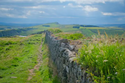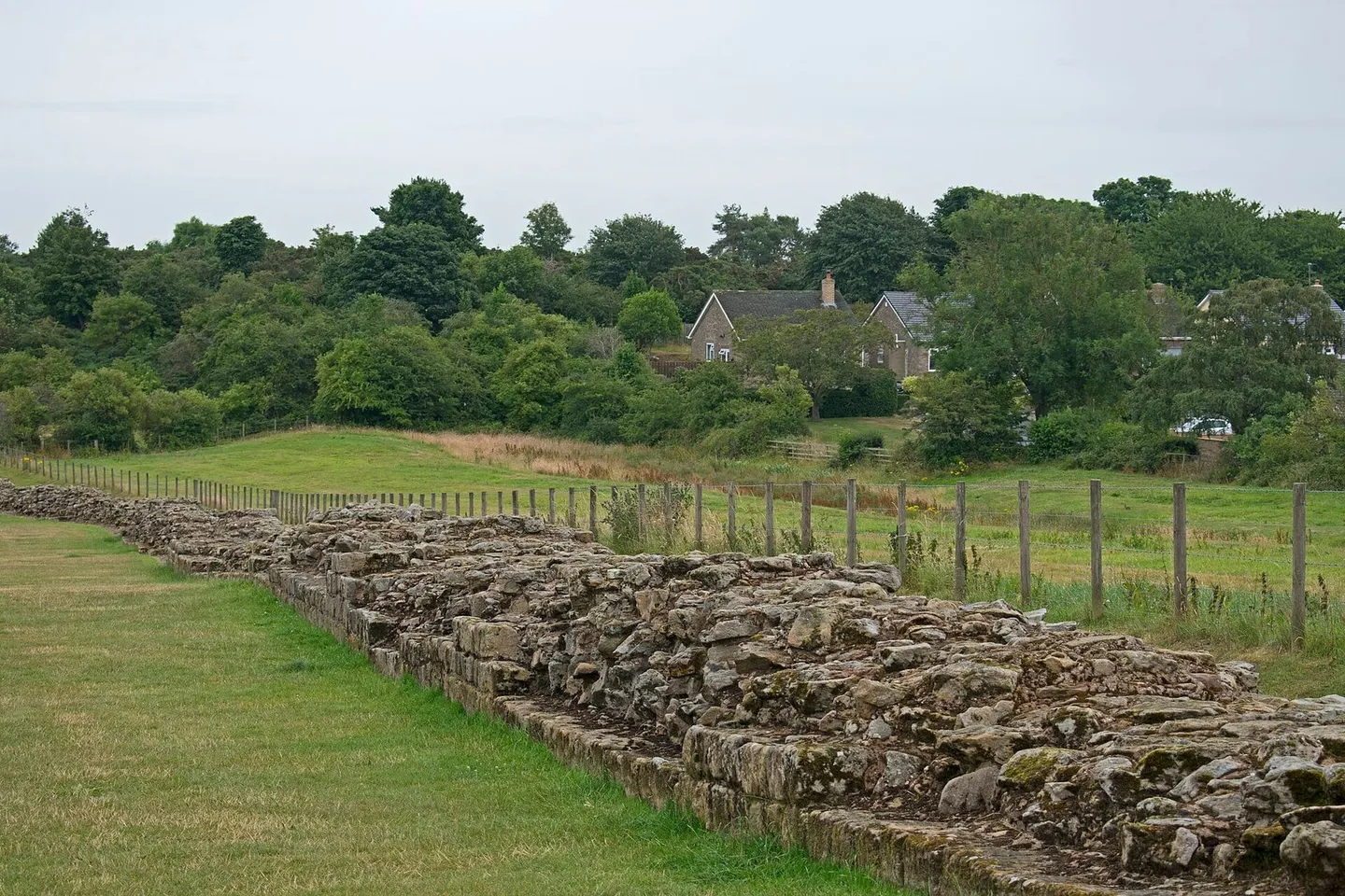
220 metres of the original Broad Wall at Heddon, spared when the 18th-century Military Road swerved briefly north
Open accessfree to visit at any reasonable time
Substantial ruinsruined, but plenty survives above ground
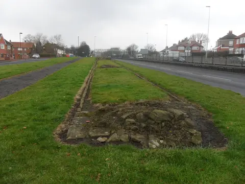
Between Newcastle and Heddon, the Wall itself has largely disappeared under the road that soldiers built in the 1740s to move troops quickly after the Jacobite rising, still known today as the Military Road. At Heddon, though, the road turns briefly north, and for about 220 metres the original Wall stands clear alongside it, the best-preserved excavated stretch of the Wall’s original, broader design. Hadrian’s builders started the Wall at the wider of its two specifications, ten Roman feet, before narrowing it to eight Roman feet partway through construction to speed the work along; this stretch still shows the earlier, broader build.
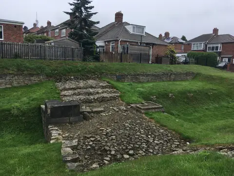
On its south side, the Wall reaches about six courses high, close to a metre and a half, while its north face lost its facing stones when the new road was cut nearby. A shallow ditch runs parallel a short way north, across a level strip the Romans left clear as a buffer. Centuries later, someone cut a corn-drying kiln into the ruined stonework at the western tip of the Wall, one of many small, practical uses local people found for the Romans’ abandoned stonework.
Hidden under a hedge-topped bank until the 1870s, the Wall here was later given, in 1924, to an antiquarian society in Newcastle by Sir James Knott, a local philanthropist. By the late 1930s, the site had been consolidated and opened to visitors. The Hadrian’s Wall Path runs alongside, and Wylam is a couple of miles southwest.