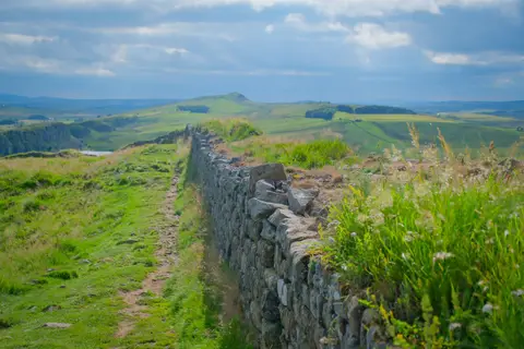
The tallest stretch of Hadrian's Wall left standing anywhere, its stone face largely rebuilt in the nineteenth century using Roman masonry found nearby
Access unclearno public right of way confirmed — check locally before setting out
Substantial ruinsruined, but plenty survives above ground
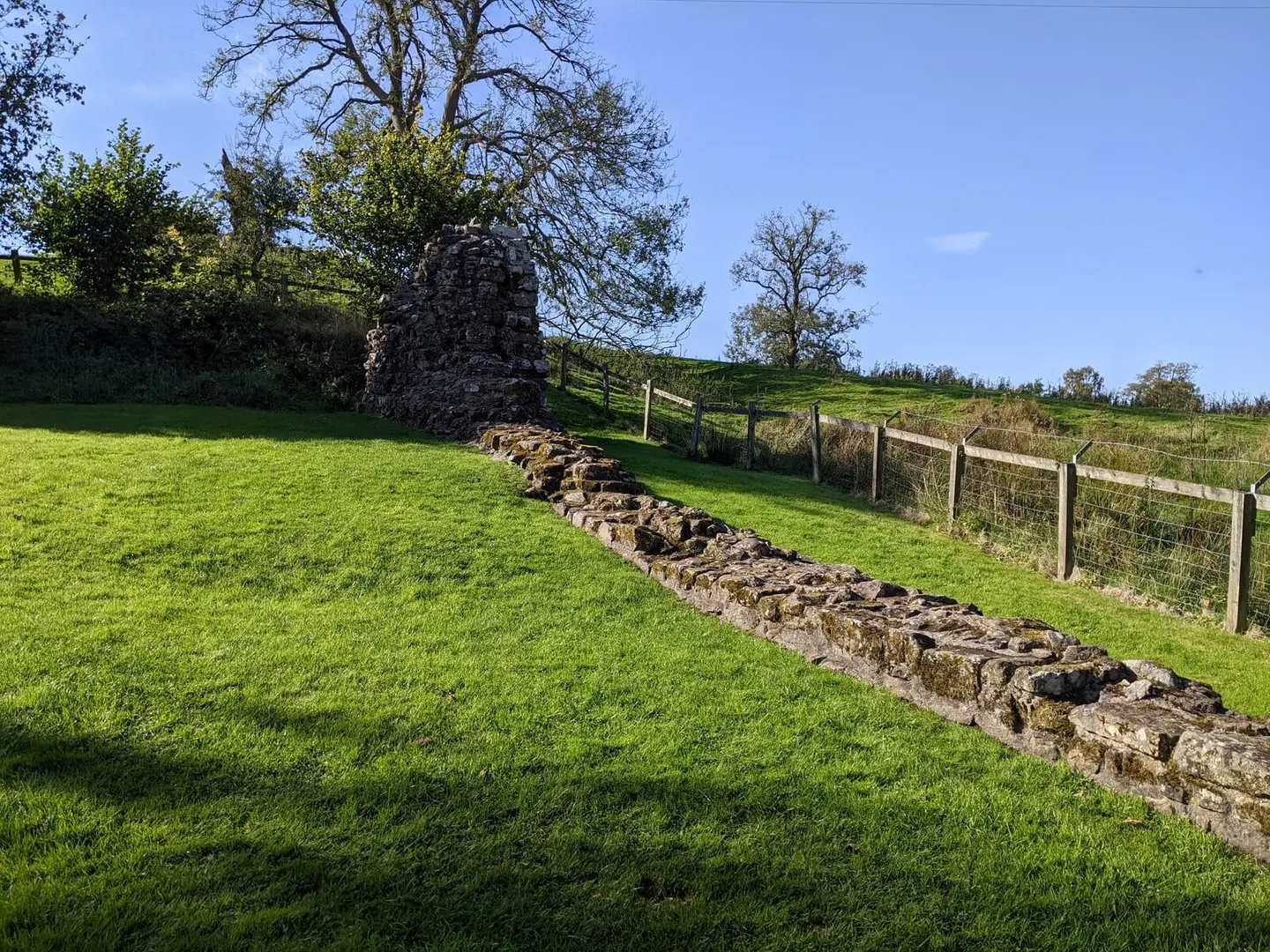
A short stretch of Hadrian’s Wall at Hare Hill stands taller than any other along its length, reaching up to three metres, about two-thirds of its estimated original height of around four and a half metres. This section belongs to the stretch that ran west from the River Irthing to the Solway coast, first built of turf and only rebuilt in stone later in Hadrian’s reign.
Most of the Wall near here was pulled down for building stone centuries ago, not least for Lanercost Priory, under a mile south-west, begun around 1165. Hare Hill’s stretch likely escaped because it had already been built into a small medieval building nearby, with a farm boundary wall later raised along the same line. One block in the north face is carved with the faint abbreviation for centuria primi pili, Latin recording that this stretch was built by the work party of the legion’s senior centurion — a signature found half a mile from here, brought to Hare Hill when the wall was restored in the nineteenth century.
Only the wall’s rubble core survived into the nineteenth century; its facing stones had long since been taken away for local buildings. Banks East Turret stands a little over a kilometre east, right along the Hadrian’s Wall Path. What you see today was pieced back together in a Victorian restoration using fallen Roman stones gathered from the surrounding fields, with more conservation work done after a 2004 excavation.