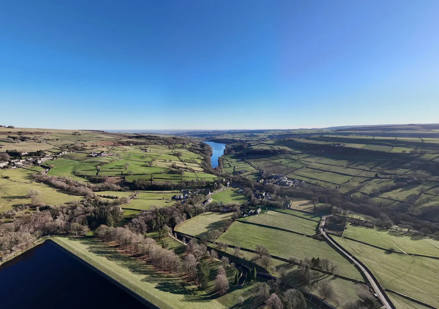
Places to explore near Rochdale
In the Roch valley on the western flank of the Pennines, Rochdale spun cotton and wool and, in 1844, gave the world the Co-operative movement when its Pioneers opened a shop on Toad Lane. The moors climb from the doorstep. Blackstone Edge, with its old paved packhorse road, tops the gritstone watershed to the east, and the South Pennine Moors run north toward the Peak District boundary. Nearer the town, sailing boats work Hollingworth Lake, the Victorian reservoir once nicknamed the Weavers' Seaport.
90 places within 25 km — the standouts first, nearest first within each group. 1 is a national icon.
Worth the tripnational icons and local highlights within reach
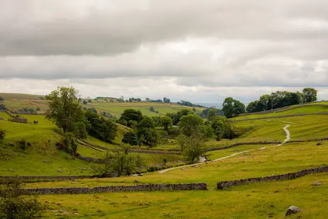
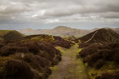
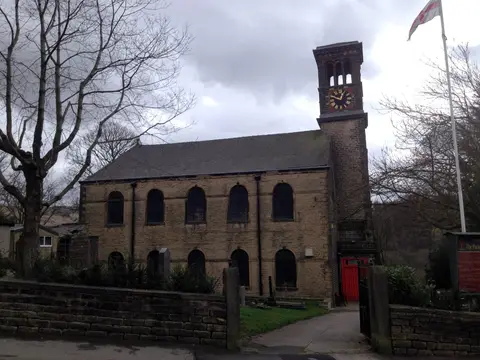

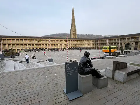
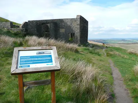
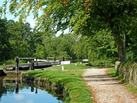
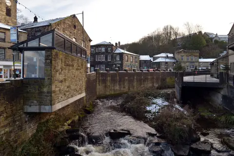
Also nearbygood places nearby, nearest first
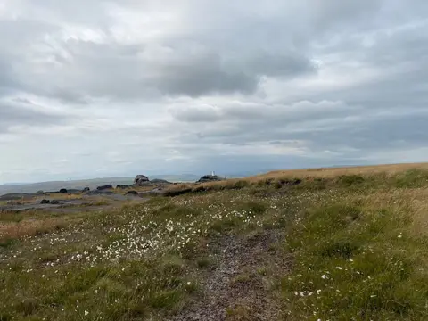
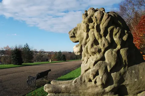
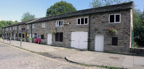
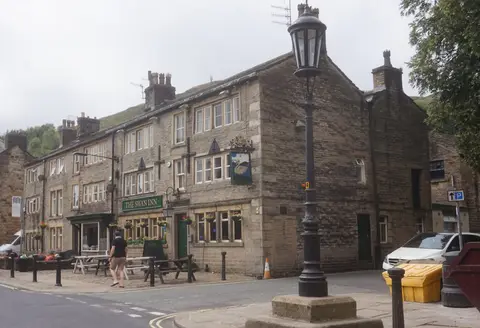
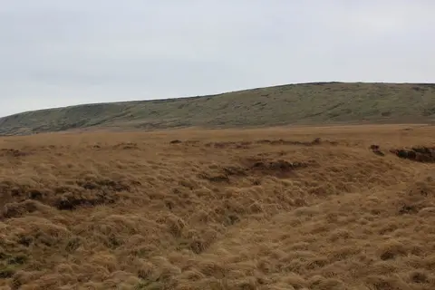
Everything else within 25 km (61) — reserves, earthworks & places to check before travelling
- Calderdale WayLong-distance path11.2 km N
- Daisy Nook Country ParkCountry park11.4 km S
- RamsbottomVillage11.4 km W
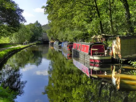
- Huddersfield Narrow CanalCanal11.5 km SE
- Shepherd's Rest InnPub11.6 km NE
- Prestwich Country ParkCountry park11.9 km SW
- TodmordenVillage12.1 km N
- UppermillVillage12.1 km SE
- Top Brink InnPub12.4 km NE
- The Church Inn (Saddleworth)Pub12.7 km SE
- The Cross Keys (Uppermill)Pub12.8 km SE
- Ashton CanalCanal14.1 km S
- Stalybridge Country ParkCountry park14.2 km SE
- Clifton Country ParkCountry park14.4 km SW
- Peak Forest CanalCanal14.7 km S
- Stubbins EstateCountry estate14.8 km NW
- MarsdenVillage15.2 km E
- RippondenVillage15.5 km NE
- Jumbles Country ParkCountry park15.7 km W
- Moses Gate Country ParkCountry park15.9 km W
- Marsden Moor EstateCountry estate16 km E
- Seven Acres Country ParkCountry park16 km W
- Bridgewater CanalCanal16.4 km SW
- Manchester Ship CanalCanal16.7 km SW
- Stubbing WharfPub16.9 km NE
- Blackleach Country ParkCountry park17.5 km SW
- The Strawbury DuckPub17.8 km W
- South Pennine MoorsSSSI5.5 km NE
- Lee QuarrySSSI8.7 km N
- Hail Storm HillMarilyn9.1 km NW
- Freeholds TopMarilyn9.3 km N
- Lowside BrickworksSSSIaccess unclear9.4 km SE
- Blackstone Edge Roman roadRoman archaeological site9.5 km NE
- CastlesteadsPromontory fortaccess unclear10 km W
- Heaton ParkCounty topaccess unclear10.2 km SW
- Ladcastle & Den QuarriesSSSIaccess unclear11.6 km SE
- DiggleVillage11.7 km SE
- Lower Red Lees PastureSSSIaccess unclear12 km NW
- West Pennine MoorsSSSI12.2 km W
- Dark PeakSSSI12.5 km E
- Hollinwood Branch CanalSSSI12.5 km S
- Huddersfield Narrow CanalSSSIaccess unclear12.5 km SE
- Standedge Road CuttingSSSIaccess unclear12.5 km E
- Hodge CloughSSSIaccess unclear12.8 km NW
- Park CloughSSSI13.2 km E
- Withens CloughSSSI14 km NE
- Buckton CastleEarthworks of a former castle14.3 km SE
- The Old Bridge Inn (Ripponden)Pub14.4 km E
- AshcloughSSSIaccess unclear14.6 km SW
- Cragg ValeVillage14.9 km NE
- Hanging BridgeCathedralaccess unclear15.1 km SW
- Broadhead CloughSSSI15.4 km NE
- Scholes Height & Bull HillCounty top15.5 km NW
- Goodshaw ChapelChapelaccess unclear15.8 km NW
- Nob EndSSSIaccess unclear15.8 km SW
- Eastern wall of the Roman fortRoman archaeological siteaccess unclear16.3 km SW
- Hoarstone EdgeCounty top16.4 km SE
- TurtonVillage16.6 km W
- iglu sauna, Hebden BridgeSauna16.9 km N
- Tonge River SectionSSSIaccess unclear17.2 km W
- Castle Hill motte, Rosemary HallCastleaccess unclear17.8 km NE
Ordered by how far each place is worth travelling for, then by distance. Distances are straight-line to the nearest edge of each place — paths wind, of course.