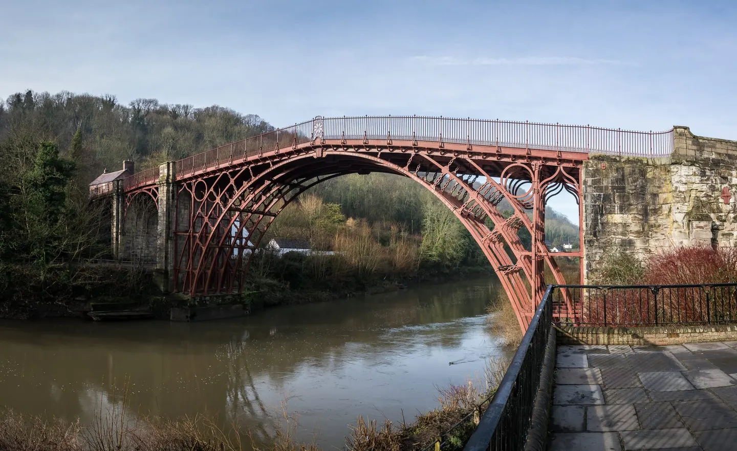
Places to explore near Telford
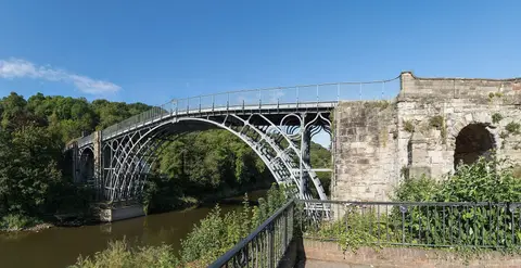
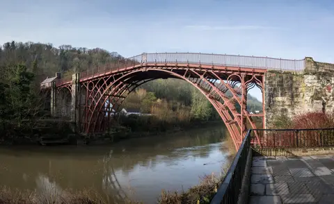
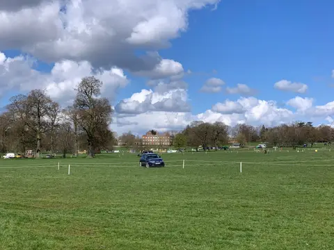
A new town knitted together in the 1960s from Shropshire's coal and ironworking villages, Telford grew beside the gorge where the Industrial Revolution took shape. The world's first cast-iron bridge still spans the River Severn at Ironbridge, deep in its wooded gorge. West of the town the isolated cone of The Wrekin lifts from the plain with views across to Wales, and the parkland of Attingham Park spreads along the Tern; further south Dudmaston overlooks the same river.
86 places within 25 km — the standouts first, nearest first within each group. 4 are national icons.
Worth the tripnational icons and local highlights within reach
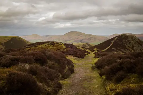

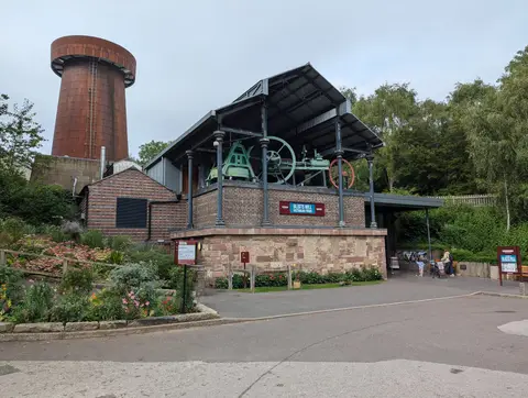
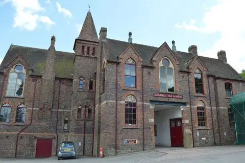

Also nearbygood places nearby, nearest first
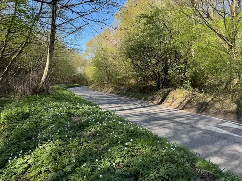
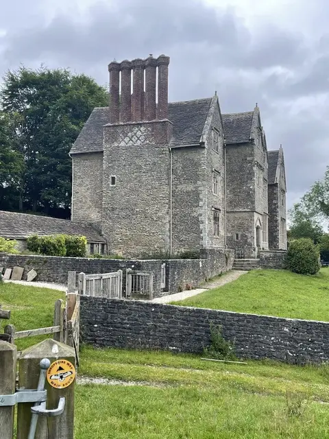
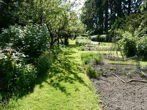
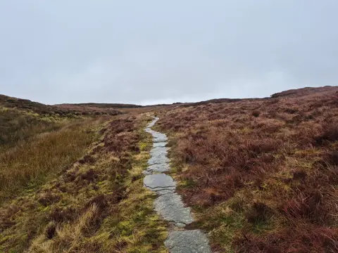
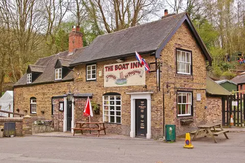
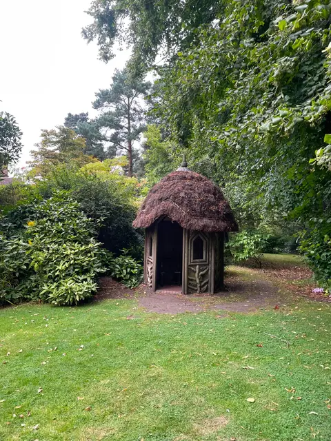
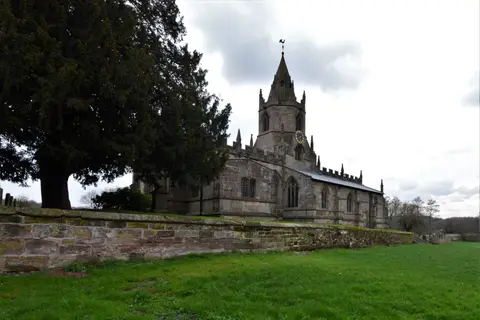
Everything else within 25 km (56) — reserves, earthworks & places to check before travelling
- David Austin RosesGarden10.9 km SE
- Wenlock EdgeSSSI11.1 km SW
- Holy Trinity Church, Much WenlockChurch11.8 km SW
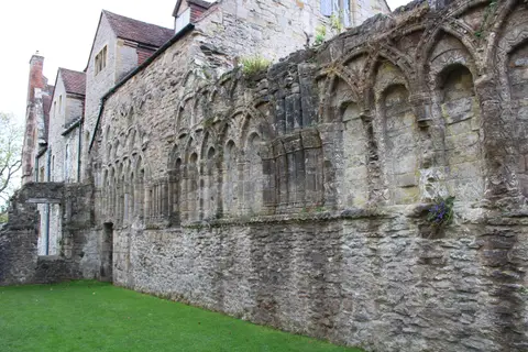
- White Ladies (St Leonard's) PrioryPriory12.7 km E
- Shropshire Union CanalCanal15.5 km NE
- Morville HallHouse & garden15.6 km S
- Geopark WayLong-distance path16 km S
- Old CastlePub16.1 km S
- The Fosters ArmsPub16.1 km S
- The Shakespeare InnPub16.1 km S
- St Mary Magdalene, BridgnorthChurch16.3 km S
- Staffordshire WayLong-distance path16.7 km E
- Haughmond AbbeyMonastery17 km W
- Acton Burnell CastleCastle18 km SW
- St Leonard's Priory (Shropshire)Prioryaccess unclear2.8 km N
- The All Nations InnPub2.9 km S
- New Hadley BrickpitSSSIaccess unclear3.1 km NW
- Watling StreetRoman archaeological siteaccess unclear3.4 km NE
- Muxton MarshSSSIaccess unclear4.5 km N
- Lydebrook DingleSSSIaccess unclear4.7 km SW
- The Wrekin & The ErcallSSSIaccess unclear5.1 km W
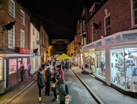
- ShifnalVillage5.1 km E
- Lincoln HillSSSIaccess unclear5.8 km SW
- River Severn at IronbridgeSwimming spot6.3 km SW
- Tick Wood and Benthall EdgeSSSIaccess unclear6.4 km SW
- Buildwas River SectionSSSIaccess unclear7.3 km SW
- Buildwas Sand QuarrySSSIaccess unclear7.3 km SW
- Chermes DingleSSSIaccess unclear8.8 km W
- Farley DingleSSSIaccess unclear8.9 km SW
- Wall CampHillfortaccess unclear9 km N
- Castle Hill motte (Shropshire)Castleaccess unclear9.5 km E
- Allscott Settling PondsSSSIaccess unclear10.2 km NW
- Sheinton BrookSSSIaccess unclear10.3 km SW
- Whitwell CoppiceSSSIaccess unclear10.3 km SW
- Newport CanalSSSIaccess unclear10.7 km N
- Aqualate MereNational Nature Reserve12.6 km NE
- Hughley BrookSSSIaccess unclear13.1 km SW
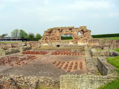
- Roman town of Wroxeter (Viroconium)Roman archaeological site13.5 km W
- The Riverside Inn (Cound)Pub13.5 km W
- Mottey MeadowsNational Nature Reserve13.8 km E
- Davenport HouseHouse & gardenaccess unclear14.5 km S
- Coundmoor BrookSSSIaccess unclear15 km W
- WallsHillfortaccess unclear15.1 km SE
- Belvide ReservoirSSSIaccess unclear15.4 km E
- Big Hyde RoughSSSIaccess unclear16.2 km E
- Bullhill BrookSSSIaccess unclear16.2 km SW
- Devil's Hole, MorvilleSSSIaccess unclear16.2 km S
- Bridgnorth CastleCastleaccess unclear16.3 km S
- Panpudding HillEarthworks of a former castleaccess unclear16.6 km S
- Queen Eleanor's BowerEarthworks of a former castleaccess unclear16.9 km W
- Doley CommonSSSI17.1 km NE
- Chillington HallHouse & gardenaccess unclear17.3 km E
- Berrington Pool, ShropshireSSSIaccess unclear17.5 km W
- Loynton MossSSSIaccess unclear17.5 km NE
- Uffington Roman Temporary CampRoman archaeological siteaccess unclear17.8 km W
- Claverley Road CuttingSSSIaccess unclear17.8 km SE
Ordered by how far each place is worth travelling for, then by distance. Distances are straight-line to the nearest edge of each place — paths wind, of course.